Guides · 21 October 2026
The best Wainwrights to climb: a shortlist for every kind of walker
By Only Cumbria, updated 21 October 2026, 6 minute read
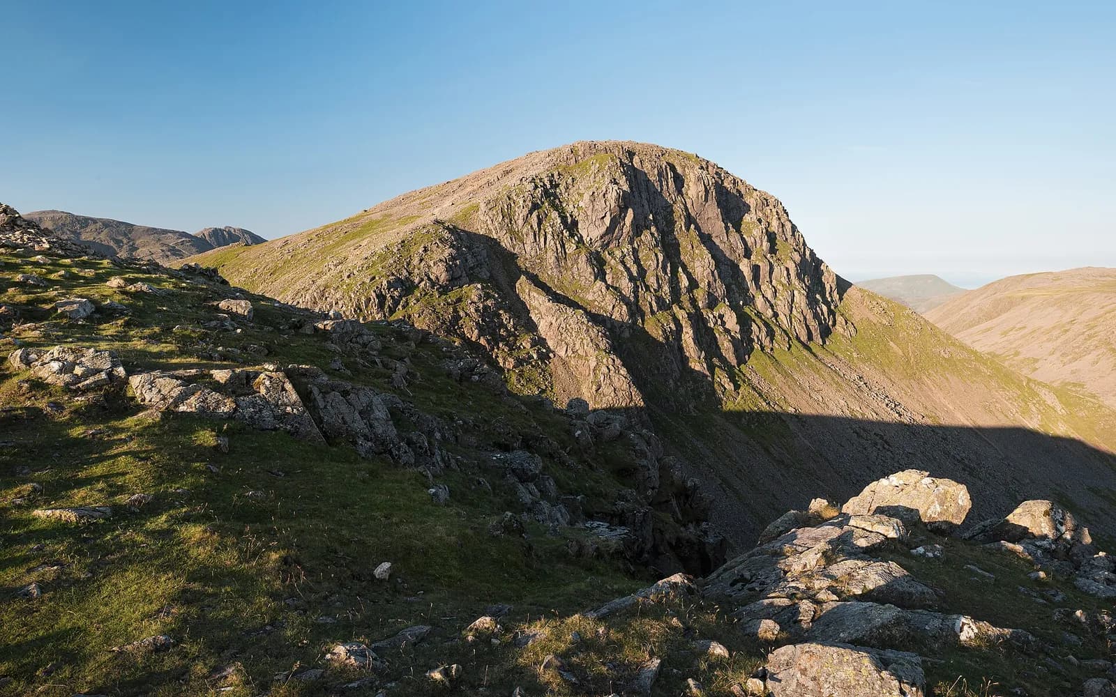
Ask a Lake District walker how many Wainwrights they have done and you will usually get a number, not a shrug. The list has become the county's great unofficial challenge, and it is a very good way to see the national park properly. But 214 fells is a lot, and they are not equal. This is our shortlist: the ones we would send a friend up first, sorted by how much effort and experience they ask of you.
What are the Wainwrights?
The Wainwrights are the 214 fells described in Alfred Wainwright's seven-volume Pictorial Guide to the Lakeland Fells, hand-drawn and hand-lettered and first published between 1955 and 1966. Wainwright (1907 to 1991) was Kendal's Borough Treasurer by day, and the guides were a labour of love written around that job.
The books divide the Lakes into seven areas:
- Book One, The Eastern Fells (35 fells), the Helvellyn and Fairfield ranges
- Book Two, The Far Eastern Fells (36), High Street and the hills east of Ullswater
- Book Three, The Central Fells (27), including the Langdale Pikes
- Book Four, The Southern Fells (30), Scafell Pike, Bowfell and Coniston
- Book Five, The Northern Fells (24), Skiddaw and Blencathra
- Book Six, The North Western Fells (29), Catbells and the Newlands and Buttermere hills
- Book Seven, The Western Fells (33), including Great Gable and Haystacks
There is no height rule. A fell is a Wainwright because Wainwright gave it a chapter, which is why the list runs from Scafell Pike at 978 metres down to Castle Crag at about 290 metres. He also wrote a later book, The Outlying Fells of Lakeland, covering lower hills around the edges of the park. Those are not part of the 214. Black Combe in the south west and Orrest Head above Windermere, the first fell Wainwright climbed, are both Outlying Fells, so they will not count towards your tally, however good the view.
If you do finish, the Wainwright Society keeps a register of members who have completed all 214. Wainwright himself is on it.
Short summits for families and first-timers
These are proper fells with proper tops, but they are short enough for a morning and gentle enough for children who are used to walking.
Catbells (451m). The classic first fell, rising straight out of the western shore of Derwentwater. The ridge has a couple of rocky steps that children love and a summit that is busy on any fine day. Our route goes up the north ridge and back along the terrace path: Catbells from Gutherscale.
Latrigg (367m). Keswick's own small fell, and arguably the best view of Derwentwater for the least effort. Good at sunset, with a torch for the woods on the way down. See Latrigg from Keswick.
Castle Crag (about 290m). The smallest Wainwright and the only one below 1,000 feet, but it feels much bigger: a wooded knoll in the jaws of Borrowdale with old slate workings and a First World War memorial to Borrowdale men on the summit rock. See Castle Crag from Grange.
Loughrigg Fell (335m). A knobbly, many-topped fell between Ambleside, Grasmere and Rydal, with paths everywhere. Pair it with Loughrigg Terrace and Rydal Cave for a satisfying half day: Loughrigg Fell from Ambleside.
Hallin Fell (388m). About 20 minutes from the car park at Martindale church to a big square cairn and one of the finest views of Ullswater. Add the lakeshore loop to make a morning of it: Hallin Fell and the Ullswater shore.
Rannerdale Knotts (355m). A little ridge above Crummock Water, best known for the bluebells in Rannerdale in May. See Rannerdale Knotts.
Half days with a proper summit feel
Steeper, longer and rougher, but still within reach of most reasonably fit walkers in good weather.
Walla Crag (376m). A clifftop above Derwentwater, reached from Keswick in a couple of hours and best done as a round via Ashness Bridge. The edge is unfenced, so keep children and dogs close: Walla Crag from Keswick.
Wansfell (488m). Ambleside's fell. Its highest point is Baystones, but most walkers aim for the slightly lower Wansfell Pike (482m) for the view down Windermere. Our loop climbs past Stock Ghyll Force and comes home through Troutbeck and Jenkin Crag: Wansfell Pike and Troutbeck.
Haystacks (597m). Wainwright's favourite. He called its summit "the best fell-top of all", and his ashes were scattered by Innominate Tarn on the summit ridge. It is not high, but the top is a confusing jumble of knolls, tarns and crags, and it deserves respect in mist. See Haystacks from Gatesgarth.
Harrison Stickle (736m) and the Langdale Pikes. The Pikes are the shapely skyline above Great Langdale. Our walk climbs Stickle Ghyll to Stickle Tarn beneath Pavey Ark (700m), a fine objective in itself and the usual springboard for the summits: Stickle Tarn from the New Dungeon Ghyll.
Big mountain days
These are the fells people travel for. They are long, high and serious in poor weather, and they need a map, a compass and the skills to use them.
Helvellyn (950m). The most famous ridge walk in the country. Striding Edge is a genuine scramble with real exposure; Swirral Edge is shorter but still rocky. Choose Helvellyn via Striding Edge on a calm, dry day, or the gentler Helvellyn by the Pony Path if the edges are not for you.
Scafell Pike (978m). England's highest mountain. The shortest way up is from Wasdale Head by Brown Tongue, and it is still a hard day with a bouldery summit plateau that catches people out in cloud. See Scafell Pike from Wasdale Head.
Blencathra (868m). A great saddleback of a mountain above the A66, and home to Sharp Edge, the sharpest ridge in the Lakes. Only for confident scramblers in dry, still conditions; others should use the Scales Fell path both ways. See Blencathra via Sharp Edge.
Fairfield (873m). The Fairfield Horseshoe from Ambleside strings together a run of tops around the Rydal valley. The summit plateau is flat and featureless with crags to the north, so navigation matters: The Fairfield Horseshoe.
The Old Man of Coniston (803m). Coniston's mountain, climbed through the old copper and slate workings past Low Water. Never enter the mine levels: The Old Man of Coniston.
Also on our list (no walk page yet): Skiddaw (931m), the old giant above Keswick; Great Gable (899m), the dome at the head of Wasdale; and Bowfell (902m), the rocky pyramid at the head of Langdale.
How we would tackle the list
- Start low and go in clear weather. The view is the point, and the small fells reward you just as well as the big ones.
- Pick by book, not by height. Working through one area at a time, say the North Western Fells from Keswick, keeps the driving down and teaches you how the valleys fit together.
- Treat the big three seriously. Helvellyn, Scafell Pike and Blencathra all have cliffs close to their summits. In mist, wind or winter conditions they become mountaineering terrain. Check the Lake District weather forecast and turn back early if it is not right.
- Leave the car if you can. Several of these walks are on bus routes or reachable by lake launch; our car-free guide has the details, and the parking guide covers the busiest car parks, many of which fill early in summer.
Before you go
- Wear proper boots and carry waterproofs, food, water, a map and a compass on every fell above valley level, however short.
- Car parks in Borrowdale, Buttermere, Langdale and at Glenridding are small and busy. Arrive early or use the bus.
- Sheep graze almost every fell on this list. Keep dogs on a lead around livestock.
- Want something gentler? Our walks hub lists low-level and lakeside routes too, and the rainy-day guide has ideas for when the cloud is on the tops.