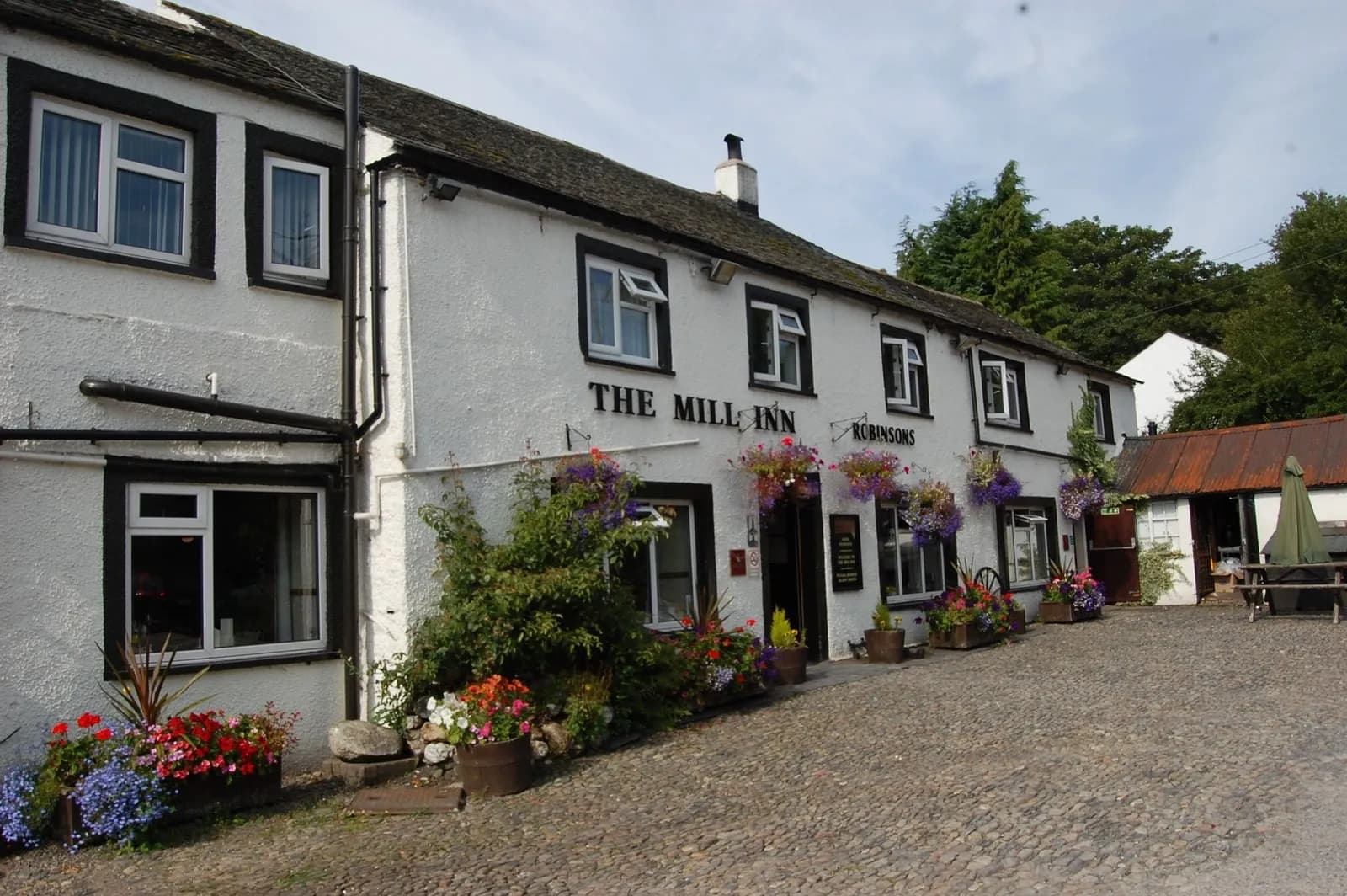
Blencathra via Sharp Edge from Scales
The Lake District's sharpest ridge: up from Scales to Scales Tarn, along the knife edge of Sharp Edge to Blencathra's summit, and down Scales Fell.
- Distance
- 9.4 km
- 5.8 miles
- Ascent
- 840 m
- High point 865 m
- Time
- 3 hours 30 minutes
- Walking time, no stops
- Grade
- Mountain
- Circular
Take this walk with you
Google Maps does not know most fell paths, so use it to get to the start, then follow the GPX in an app like OS Maps, Komoot or AllTrails. To see the line in Google Maps, open Google My Maps, create a map, choose Import and pick the KML file. It then appears in the Google Maps app under Saved, Maps.
Weather on this walk
Loading the forecast
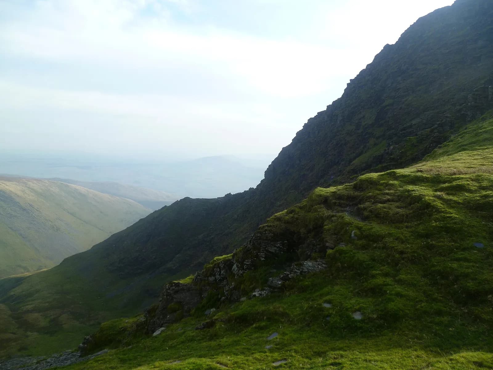
Sharp Edge is the real thing: a jagged fin of slate rising from the dark bowl of Scales Tarn to the summit plateau of Blencathra. It is shorter than Striding Edge but narrower and more serious, and the rock is notoriously slippery when wet.
This is the classic way to do it. From Scales the path climbs round Mousthwaite Comb and up beside Scales Beck to the tarn, then along the edge and up the slabs of Foule Crag to Atkinson Pike. The summit is a short walk away, and the descent down Scales Fell is a long, easy-angled stroll with the Eden valley and the Pennines spread out ahead.
The route
- 1
Scales to Mousthwaite Comb
From the lay-by walk up past the White Horse Inn and take the path that climbs diagonally round the side of Mousthwaite Comb, a small hollow on the flank of Scales Fell.
- 2
Up Scales Beck
At the top of the comb the path turns west along the side of the valley of the River Glenderamackin and then climbs beside Scales Beck to Scales Tarn, tucked under the cliffs.
- 3
Onto Sharp Edge
From the tarn's outflow take the path climbing north-west onto the start of the ridge. The crest soon narrows into a knife edge with big drops on both sides.
- 4
Foule Crag
At the end of the edge a steep, tilted slab leads up Foule Crag. Take your time here; it is the hardest part in the wet. The top brings you out by Atkinson Pike.
- 5
To the summit
Cross the saddle south over the summit plateau to the main summit of Blencathra.
- 6
Down Scales Fell
Follow the broad path east along the rim above Scales Tarn and down the long grassy shoulder of Scales Fell, then drop back to Scales and the lay-by.
Questions people ask
Where do you park for Sharp Edge?
Most people park in the lay-bys on the A66 at Scales, near the White Horse Inn.
Is Sharp Edge harder than Striding Edge?
Most walkers find it narrower and more exposed, and the slate is more slippery when wet, though it is shorter.
What is the easiest way down Blencathra after Sharp Edge?
Scales Fell, the broad shoulder east of the summit, is the gentlest descent and leads straight back to Scales.
How long is Blencathra via Sharp Edge?
Mud and Routes gives 4.4 km for the climb by Sharp Edge from Scales and 3.6 km for the Scales Fell route, so the round is about 8 km and usually takes four to five hours.
More walks nearby
Skiddaw from the Latrigg car park (Gale Road)
Hard, 10.7 km, 755 m up, about 3 hours 30 minutes
The quickest honest way up Skiddaw: the old pony track from the top of Gale Road, up Jenkin Hill and along the stony summit ridge to the trig point.
Latrigg from Keswick
Moderate, 4.9 km, 292 m up, about 1 hour 30 minutes
Keswick's own small fell: up Spooney Green Lane and the zigzags to a grassy top with one of the finest views of Derwentwater in the Lakes.
Castlerigg Stone Circle from Keswick
Easy, 6.3 km, 130 m up, about 1 hour 30 minutes
An easy walk from Keswick to Castlerigg, the stone circle ringed by fells, out along the old railway line and lanes and back through farmland.