Catbells from Gutherscale
Keswick's favourite little fell: up the north ridge of Catbells to a rocky top over Derwentwater, down from Hause Gate and back along the terrace path.
- Distance
- 7.1 km
- 4.4 miles
- Ascent
- 422 m
- High point 449 m
- Time
- 2 hours
- Walking time, no stops
- Grade
- Moderate
- Circular
Take this walk with you
Google Maps does not know most fell paths, so use it to get to the start, then follow the GPX in an app like OS Maps, Komoot or AllTrails. To see the line in Google Maps, open Google My Maps, create a map, choose Import and pick the KML file. It then appears in the Google Maps app under Saved, Maps.
Weather on this walk
Loading the forecast
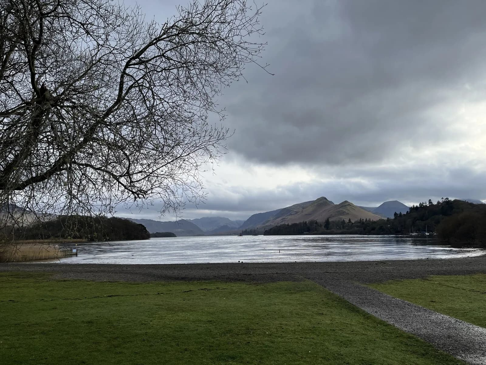
Catbells earns its reputation by giving you a proper ridge, a couple of hands-on rocky steps and a summit view that rivals fells twice its height, all in a morning. Derwentwater fills one side of the view, the Newlands valley the other, and Skiddaw sits square across the lake behind you as you climb.
The circuit here goes up the north ridge over Skelgill Bank, drops off the col at Hause Gate and returns along the lower terrace path above the lake shore, so you never retrace your steps. It suits families with older children and anyone new to the fells, but it is busy on any fine weekend, so an early start pays off.
The route
- 1
Gutherscale to the ridge
From the car park walk up the lane towards the fell and pick up the obvious path that zigzags up the end of the ridge. Height comes quickly and Derwentwater opens up on your left within minutes.
- 2
Over Skelgill Bank
Follow the crest south over the knoll of Skelgill Bank. Shortly before it there is a short rocky step with a memorial plaque set into the rock; the easiest line is usually just to one side.
- 3
The summit
A dip and a final steeper pull, with another short rocky section, bring you to the small rocky summit. Take a moment for the view down the length of Borrowdale before carrying on south.
- 4
Down to Hause Gate
Continue along the ridge and descend on the pitched path to the grassy col of Hause Gate, where paths cross. Turn left here and follow the path that drops east towards the lake.
- 5
The terrace path
Near the bottom, by Brackenburn, join the lower path that runs north along the fellside above the road. It is a lovely, gently undulating line with the lake and its islands below.
- 6
Back to Gutherscale
Keep north along the terrace through Brandlehow Park towards Hawes End, then follow the lane back up to the car park.
Questions people ask
Where do you park for Catbells?
The small car park at Gutherscale is the closest to the north ridge, and there is roadside parking near Hawes End. Both fill early, so many walkers take the Keswick Launch to Hawes End instead.
Is Catbells suitable for children?
Yes, for most children who are used to walking. There are two short rocky steps near the top where young ones will want a hand.
How long does the Catbells walk take?
Allow around two and a half to three hours for the circuit with stops; Mud and Routes suggests a similar time for its version from Hawes End.
Can you get the boat to Catbells?
Yes. The Keswick Launch stops at Hawes End, which is a few minutes from the foot of the ridge.
More walks nearby
Causey Pike and Scar Crags from Stoneycroft
Hard, 8.7 km, 678 m up, about 3 hours
Newlands' best short ridge: up the rocky steps of Rowling End to the knobbly top of Causey Pike, along to Scar Crags, and back past the old Stoneycroft mines.
Friar's Crag and the Derwentwater shore from Keswick
Easy, 3.2 km, 6 m up, about 30 minutes
Keswick's favourite short stroll: from Theatre by the Lake to the Friar's Crag viewpoint, then on along the shore and boardwalk. Mostly step-free.
Walla Crag from Keswick
Moderate, 10.6 km, 377 m up, about 2 hours 30 minutes
A half-day round from Keswick over Castlehead to the cliff-top of Walla Crag, down to Ashness Bridge and home along the Derwentwater shore.
Food, drink and beds near the start
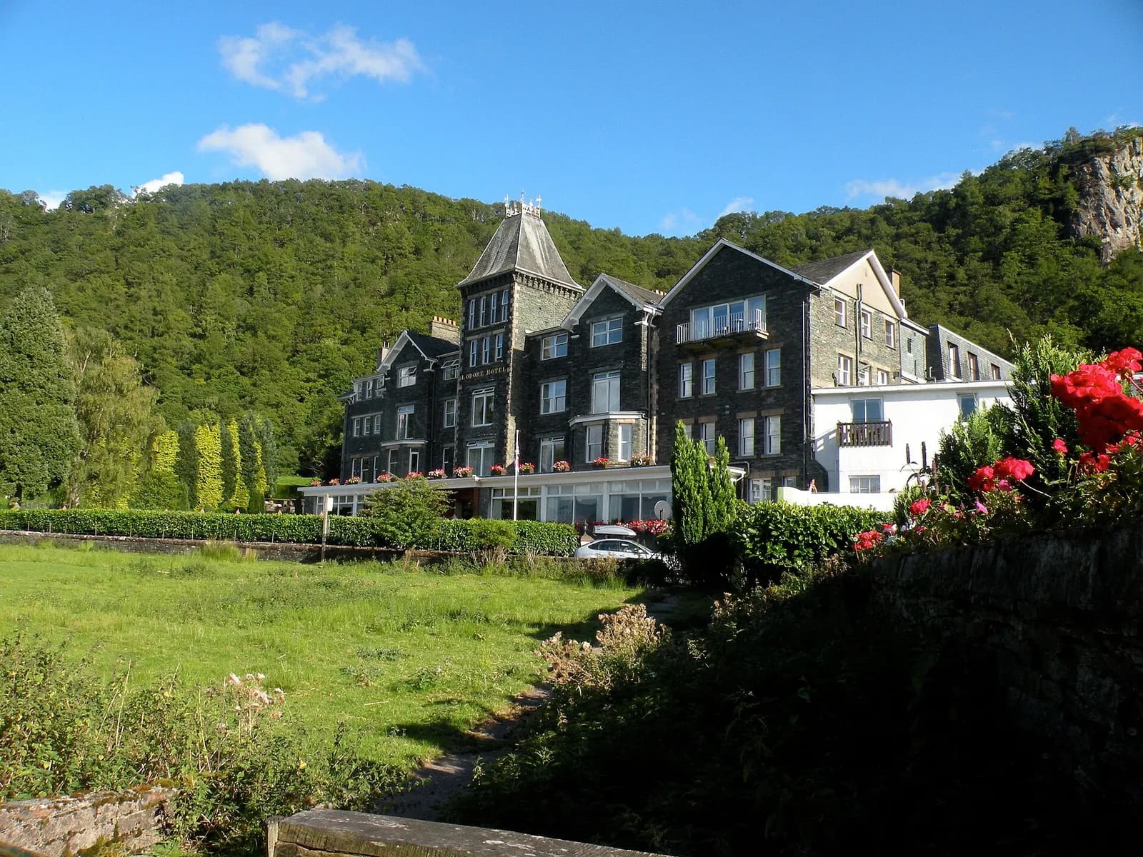
Lodore Falls Hotel & Spa
Spa Hotel, Borrowdale, £££, dogs welcome
Set beside the Lodore waterfall on the shore of Derwentwater, with the award-winning Falls Spa, a 16 metre outdoor hydro pool looking across to Catbells, and Mizu Pan-Asian dining.
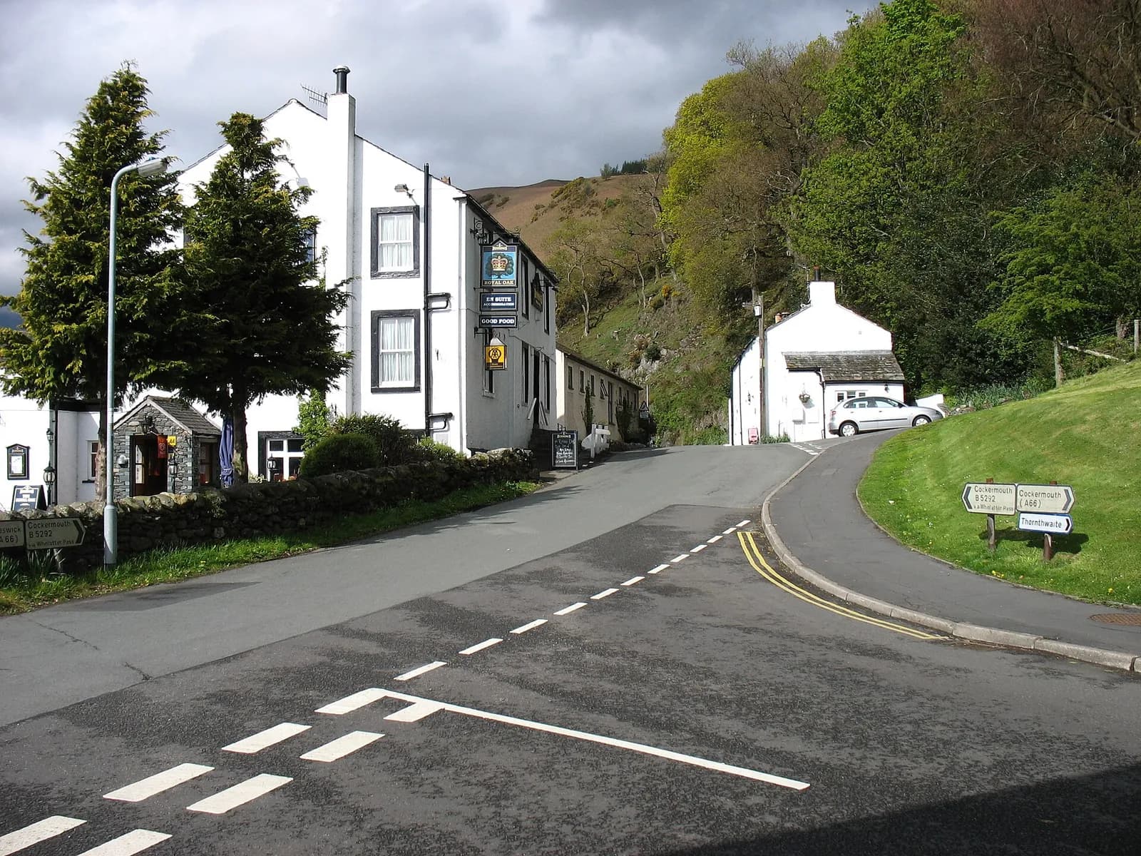
The Royal Oak
Traditional, Braithwaite, £
Braithwaite's heart and soul, with Coledale Horseshoe views from the garden and Jennings ales on tap.
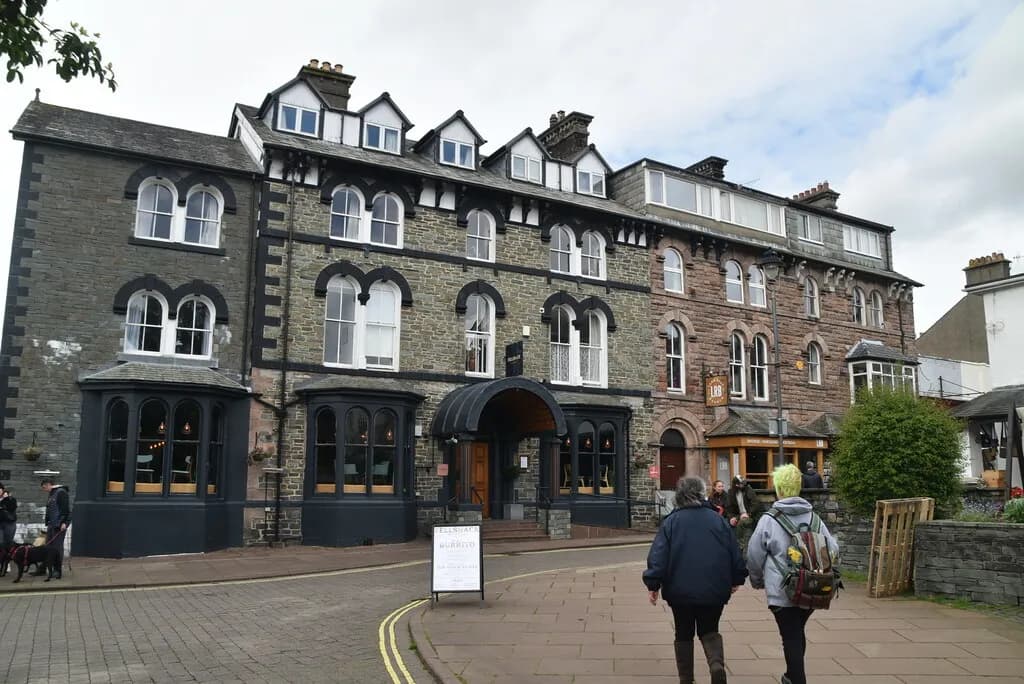
Fellpack
Casual Dining, Keswick, £
A laid-back Keswick restaurant built around Fellpots, generous bowls that put creative twists on classics. The short, seasonal menu might put a Japanese dish next to neeps and haggis.
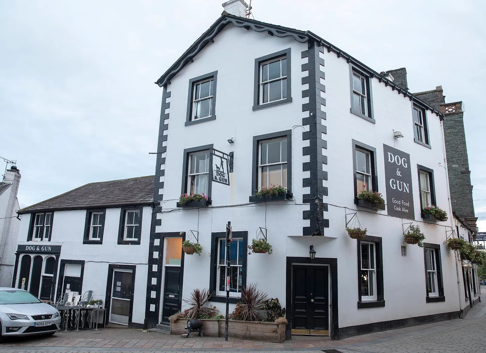
The Dog and Gun
Traditional, Keswick, £, dogs welcome
A proper Keswick town-centre local, run by Greene King, known for its homemade Hungarian goulash, well-kept ales and a warm welcome for dogs.
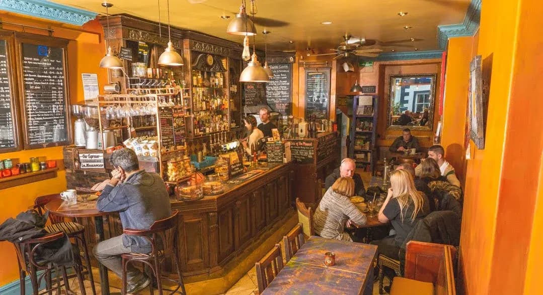
The Square Orange
Pizza & Bar, Keswick, £, dogs welcome
A cosy, buzzy cafe bar on St John's Street serving stone-baked Roman style pizzas, tapas and good coffee, with a full bar and regular live music evenings. No bookings, just walk in.
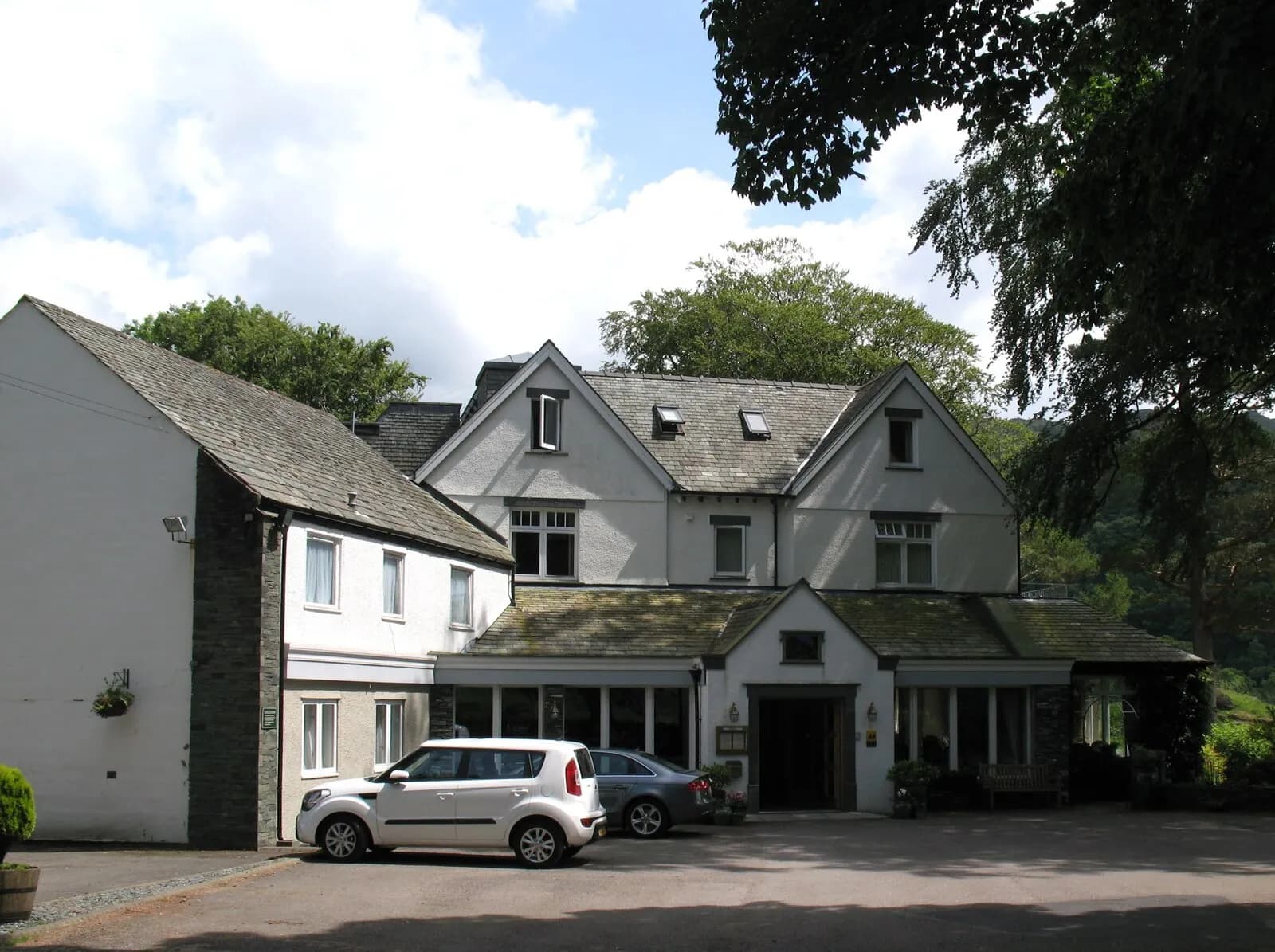
Borrowdale Gates Hotel
Country House Hotel, Borrowdale, £££, dogs welcome
A tranquil retreat in Borrowdale's green heart, with fell views from every room and a kitchen that champions Cumbrian produce.