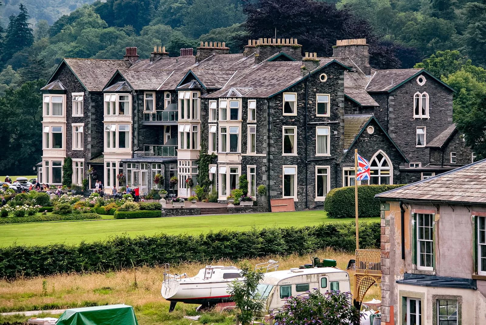
Helvellyn by the Pony Path from Glenridding
Helvellyn without the scrambles: up the old pony path from Glenridding via Keppel Cove, along the summit ridge to Dollywaggon Pike and home down Grisedale.
- Distance
- 20.4 km
- 12.7 miles
- Ascent
- 1132 m
- High point 947 m
- Time
- 6 hours
- Walking time, no stops
- Grade
- Hard
- Circular
Take this walk with you
Google Maps does not know most fell paths, so use it to get to the start, then follow the GPX in an app like OS Maps, Komoot or AllTrails. To see the line in Google Maps, open Google My Maps, create a map, choose Import and pick the KML file. It then appears in the Google Maps app under Saved, Maps.
Weather on this walk
Loading the forecast
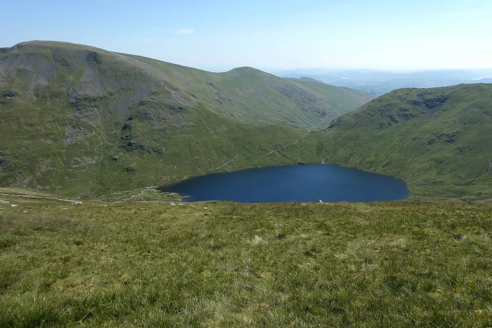
Not everyone wants Striding Edge, and this is the best way to climb Helvellyn from Glenridding without it. The route follows the old pony path, a broad zigzagging track out of Keppel Cove, and joins the main ridge near Whiteside before the final pull to Lower Man and the summit.
We call it the Pony Path because that is how Mud and Routes, whose route we follow, describes the Keppel Cove line; the name is also used locally for the old route up from Thirlspot on the Thirlmere side. From the top the round continues south along the ridge over Nethermost Pike and Dollywaggon Pike, drops to Grisedale Tarn and returns down the long, quiet valley of Grisedale. It is a big day, but every step is on a path.
The route
- 1
Glenridding to Greenside
From the car park walk up Greenside Road beside Glenridding Beck past the old mine buildings to the youth hostel.
- 2
The pony path to Keppel Cove
Beyond the hostel take the wide track west into Keppel Cove. It steepens into a long series of zigzags that climb the headwall out of the cove.
- 3
Whiteside and Lower Man
The track tops out on the ridge between Raise and Whiteside. Turn south over Whiteside and climb the final stony slope to Lower Man, where the view along Striding and Swirral Edges opens up.
- 4
Helvellyn summit
A short walk across the plateau brings you to the summit shelter and trig point.
- 5
Along the ridge
Follow the broad path south. It skirts the tops of Nethermost Pike and Dollywaggon Pike, so step off it if you want to visit them, then descends steeply to Grisedale Tarn.
- 6
Down Grisedale
From the outflow of the tarn, near the Brothers' Parting stone, follow the path down Grisedale past Ruthwaite Lodge and along the valley floor to Patterdale, then walk back to Glenridding.
Questions people ask
What is the easiest way up Helvellyn from Glenridding?
The pony path via Keppel Cove avoids all scrambling and stays on well-made tracks.
Which route is the Helvellyn pony path?
The name is used for two old routes: the Keppel Cove zigzags from Glenridding, followed here, and the old path up from Thirlspot on the Thirlmere side.
How long is Helvellyn via the pony path?
Mud and Routes gives about 17 km for the round from the youth hostel. Starting and finishing in Glenridding adds the walk up and down Greenside Road, so expect around 20 km and a full day.
Can you combine the pony path with Striding Edge?
Yes. Many people go up Striding Edge and come down the pony path, which avoids descending a scramble.
More walks nearby
Helvellyn via Striding Edge and Swirral Edge
Mountain, 13.3 km, 955 m up, about 4 hours 30 minutes
England's most famous ridge scramble: from Glenridding over the knife edge of Striding Edge to Helvellyn, then down Swirral Edge past Red Tarn.
Place Fell from Patterdale
Moderate, 7.6 km, 542 m up, about 2 hours 30 minutes
The best viewpoint over Ullswater for the effort: up from Patterdale to Boredale Hause and Place Fell, then down by The Knight to the lakeshore path.
Aira Force waterfall loop
Easy, 1.5 km, 50 m up, about 30 minutes
A short woodland loop on National Trust land above Ullswater to the foot and top of Aira Force, one of the Lakes' best known waterfalls.