Aira Force waterfall loop
A short woodland loop on National Trust land above Ullswater to the foot and top of Aira Force, one of the Lakes' best known waterfalls.
- Distance
- 1.5 km
- 0.9 miles
- Ascent
- 50 m
- High point 207 m
- Time
- 30 minutes
- Walking time, no stops
- Grade
- Easy
- Circular
Take this walk with you
This route is on paths Google Maps knows, so the walking link follows it closely. The GPX is still the exact line. To see the line in Google Maps, open Google My Maps, create a map, choose Import and pick the KML file. It then appears in the Google Maps app under Saved, Maps.
Weather on this walk
Loading the forecast
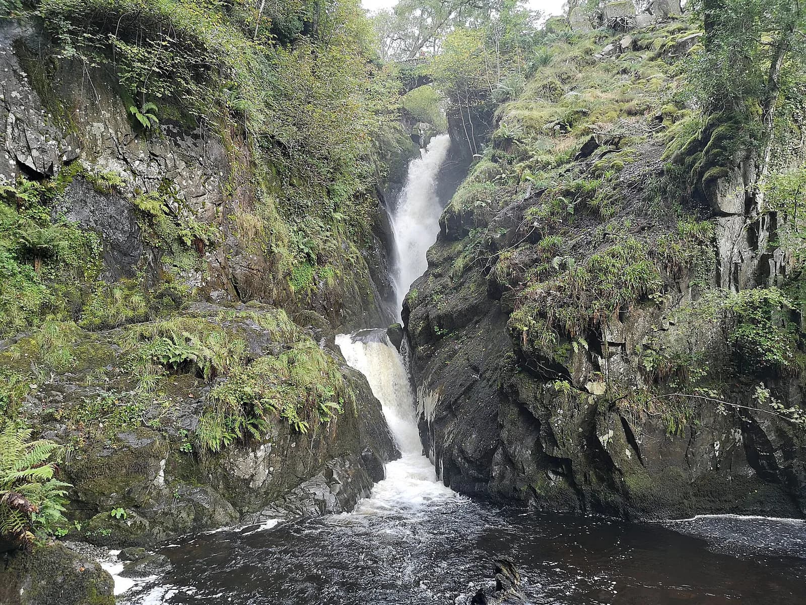
Aira Force drops just under 20 metres through a narrow rocky gorge, framed by stone footbridges at the top and bottom, and it is a proper spectacle after rain. The National Trust looks after the falls and the woodland and arboretum around them.
This loop from the main car park takes about an hour at a gentle pace. It crosses the beck on a wooden bridge, follows the gorge up to the viewpoint at the foot of the falls, climbs the steps to the bridge over the top and returns through the arboretum. It is perfect for families, a rainy day or a pause on a drive around Ullswater.
The route
- 1
From the car park
Start at the far end of the car park from the entrance, by the information kiosk, and follow the path past the picnic tables to a gate in the wall.
- 2
Over the beck
Follow the wall and fence, take the right fork and go down the steps to the wooden footbridge. Cross it and climb the stone steps beyond.
- 3
To the foot of the falls
Keep to the main path as it winds through the woodland, with a steep drop to one side, and descend to the stone bridge below Aira Force for the classic view.
- 4
Above the falls
Climb the steep stone steps to the left of the viewpoint. At the top you can detour right to cross the bridge over the head of the waterfall.
- 5
Through the arboretum
Turn back towards the lake, following signs for the tea room, and take either branch through the arboretum to the boundary fence and the gate back into the car park.
Questions people ask
How long is the Aira Force walk?
The main loop is about a mile and takes around an hour.
How tall is Aira Force?
The waterfall drops just under 20 metres.
Who owns Aira Force?
Aira Force and the surrounding woods are cared for by the National Trust, which runs the car park.
Is Aira Force pushchair friendly?
Not really. There are many steps, so most of the loop is not suitable for pushchairs.
More walks nearby
Helvellyn via Striding Edge and Swirral Edge
Mountain, 13.3 km, 955 m up, about 4 hours 30 minutes
England's most famous ridge scramble: from Glenridding over the knife edge of Striding Edge to Helvellyn, then down Swirral Edge past Red Tarn.
Helvellyn by the Pony Path from Glenridding
Hard, 20.4 km, 1132 m up, about 6 hours
Helvellyn without the scrambles: up the old pony path from Glenridding via Keppel Cove, along the summit ridge to Dollywaggon Pike and home down Grisedale.
Hallin Fell and the Ullswater shore from Martindale
Moderate, 5.0 km, 266 m up, about 1 hour 30 minutes
Ullswater's best small fell: a 20-minute pull to a huge summit cairn, then a loop round the wooded shore past Kailpot Crag.
Food, drink and beds near the start
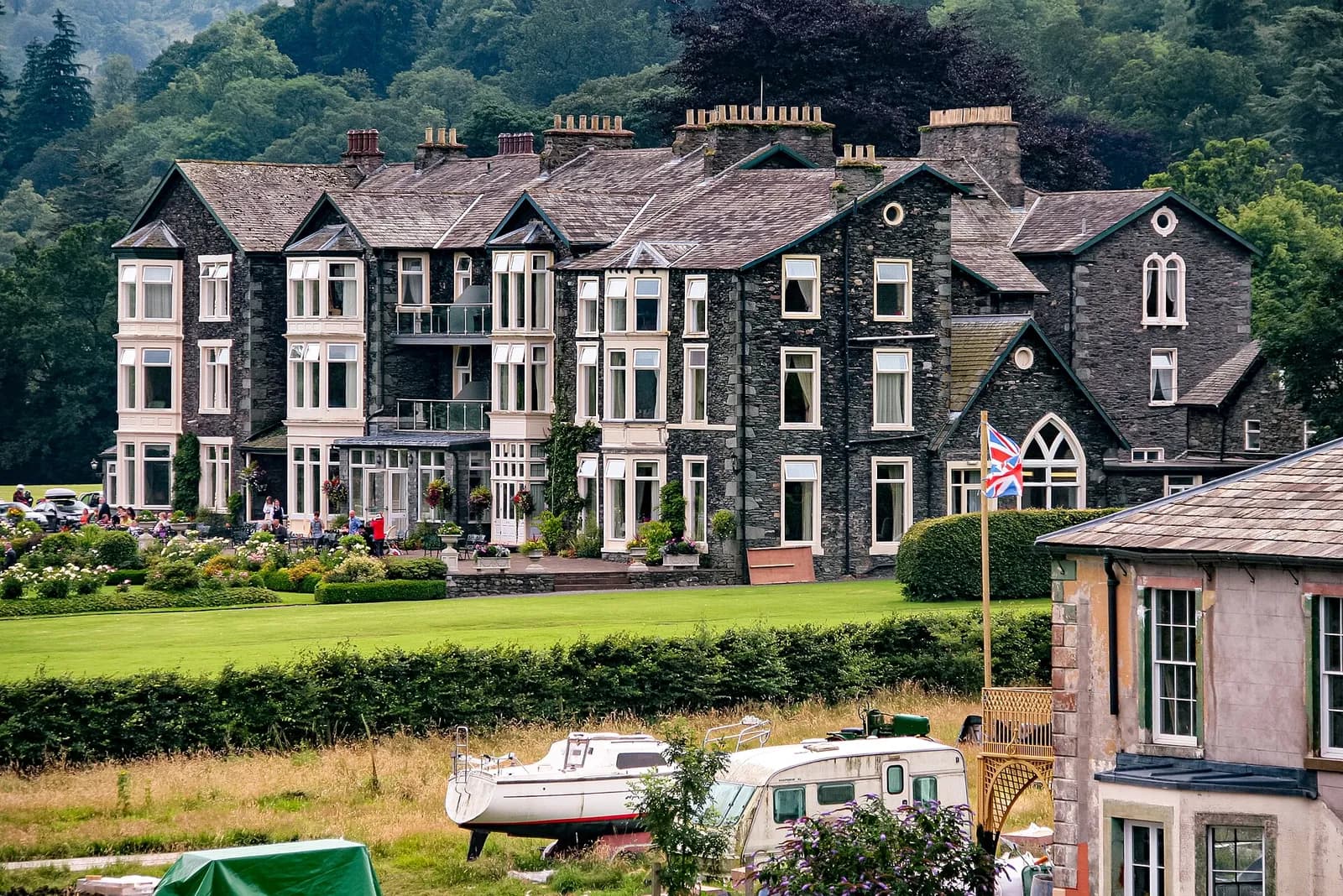
Inn on the Lake
Modern British, Ullswater, £££, dogs welcome
A contemporary lakeside hotel offering stunning views across Ullswater's pristine waters. Features modern accommodations and a restaurant celebrating local produce.

Another Place - The Lake
Lakeside Hotel, Ullswater, £££, dogs welcome
A relaxed lakeside hotel on the shore of Ullswater built around the outdoors, with paddleboarding, kayaking and open water swimming on the doorstep. Eat in Rampsbeck, The Living Space or the Glasshouse, then swim in the pool looking out to the fells.