Hallin Fell and the Ullswater shore from Martindale
Ullswater's best small fell: a 20-minute pull to a huge summit cairn, then a loop round the wooded shore past Kailpot Crag.
- Distance
- 5.0 km
- 3.1 miles
- Ascent
- 266 m
- High point 386 m
- Time
- 1 hour 30 minutes
- Walking time, no stops
- Grade
- Moderate
- Circular
Take this walk with you
Google Maps does not know most fell paths, so use it to get to the start, then follow the GPX in an app like OS Maps, Komoot or AllTrails. To see the line in Google Maps, open Google My Maps, create a map, choose Import and pick the KML file. It then appears in the Google Maps app under Saved, Maps.
Weather on this walk
Loading the forecast
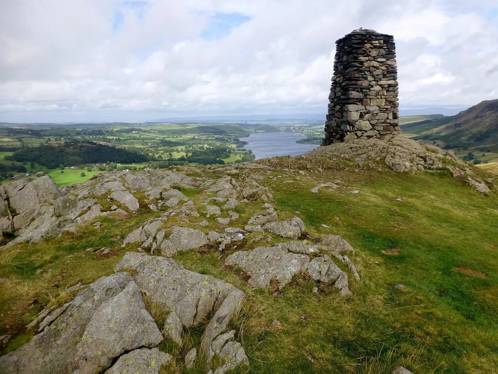
Hallin Fell is the dome of grass and bracken that juts into the bend of Ullswater, and its summit is one of the finest lake viewpoints in the national park for the least effort. From the car park at Martindale church you can be on top, beside a tall square cairn, in about 20 minutes.
Most people go straight back down. Don't. This loop drops to the shore and follows the Ullswater Way round the foot of the fell, past Kailpot Crag and through the oaks of Hallinhag Wood, with pebble beaches for a stop. A quieter path along Hallin Bank brings you back to the church.
It suits families, dog walkers and anyone wanting a short day with a real summit in it. The descent to the lake is steep and the return path faint in summer bracken, which is the only catch.
The route
- 1
Straight up
From the car park by St Peter's Church cross the road and climb the broad grassy slopes directly ahead. The path is obvious and the gradient steady, and the large summit cairn comes into view after about 20 minutes.
- 2
Down to the lake
From the summit head north towards Ullswater on a steeper path, with the lake ahead of you, until you meet the shoreline path, part of the Ullswater Way.
- 3
Round the shore
Turn left along the shore past Kailpot Crag and into Hallinhag Wood. There are several small pebble beaches along this stretch.
- 4
Up from Sandwick Bay
After about 20 minutes on the shore, turn left uphill just before the gate leading to Sandwick Bay. The junction is easy to miss. Climb through woodland beside a wall and out onto open fell, where the path is faint when the bracken is high.
- 5
Hallin Bank and home
Join the higher path along Hallin Bank, keeping the wall on your right, with views across to Howe Grain and Boredale. Near the end, bear left on the path above Hause Farm back to the church.
Questions people ask
How long does it take to walk up Hallin Fell?
About 20 minutes to the summit from St Peter's Church. The full loop with the lakeshore takes two to three hours.
Where do you park for Hallin Fell?
There is a small car park beside St Peter's Church at Martindale Hause, at the top of the zig-zags above Howtown.
Is Hallin Fell suitable for children?
Yes. The straight up and down from the church is short and grassy. The lakeshore loop adds a steep descent and a faint section of path.
More walks nearby
Ullswater Way: Howtown to Glenridding
Moderate, 11.3 km, 317 m up, about 3 hours
A favourite low-level Lakes walk: steamer to Howtown, then home along the wild eastern shore of Ullswater to Glenridding.
Aira Force waterfall loop
Easy, 1.5 km, 50 m up, about 30 minutes
A short woodland loop on National Trust land above Ullswater to the foot and top of Aira Force, one of the Lakes' best known waterfalls.
Place Fell from Patterdale
Moderate, 7.6 km, 542 m up, about 2 hours 30 minutes
The best viewpoint over Ullswater for the effort: up from Patterdale to Boredale Hause and Place Fell, then down by The Knight to the lakeshore path.
Food, drink and beds near the start

Another Place - The Lake
Lakeside Hotel, Ullswater, £££, dogs welcome
A relaxed lakeside hotel on the shore of Ullswater built around the outdoors, with paddleboarding, kayaking and open water swimming on the doorstep. Eat in Rampsbeck, The Living Space or the Glasshouse, then swim in the pool looking out to the fells.
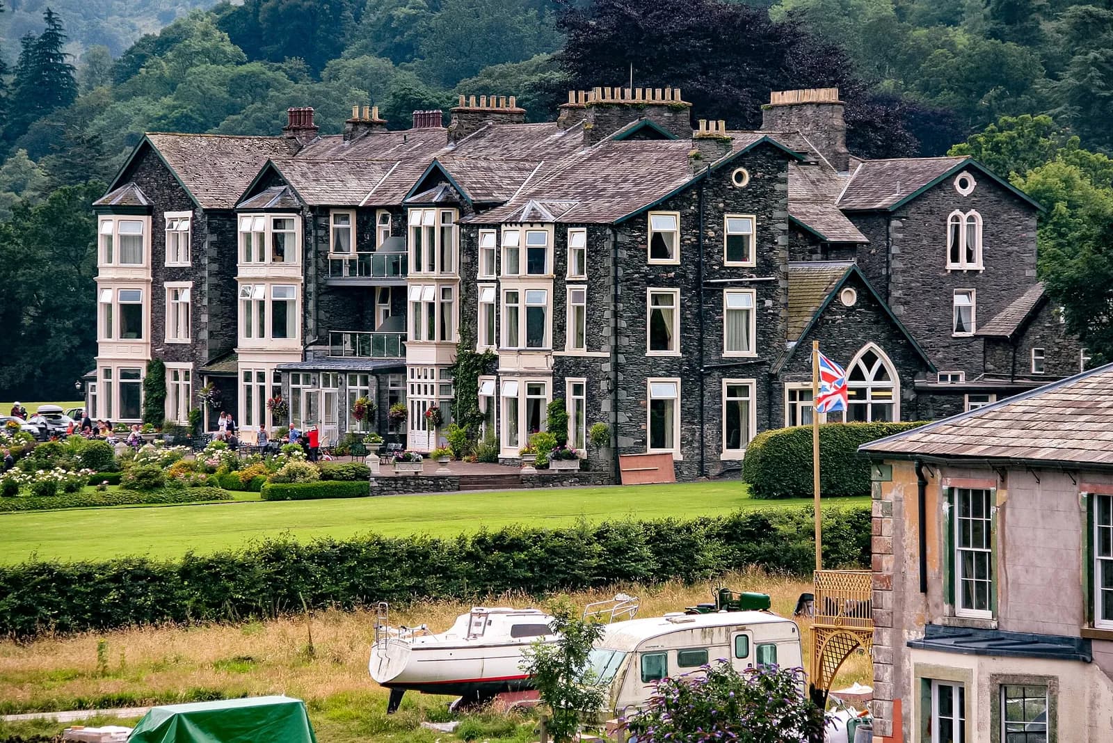
Inn on the Lake
Modern British, Ullswater, £££, dogs welcome
A contemporary lakeside hotel offering stunning views across Ullswater's pristine waters. Features modern accommodations and a restaurant celebrating local produce.