Ullswater Way: Howtown to Glenridding
A favourite low-level Lakes walk: steamer to Howtown, then home along the wild eastern shore of Ullswater to Glenridding.
- Distance
- 11.3 km
- 7.0 miles
- Ascent
- 317 m
- High point 251 m
- Time
- 3 hours
- Walking time, no stops
- Grade
- Moderate
- One way
Take this walk with you
Google Maps does not know most fell paths, so use it to get to the start, then follow the GPX in an app like OS Maps, Komoot or AllTrails. To see the line in Google Maps, open Google My Maps, create a map, choose Import and pick the KML file. It then appears in the Google Maps app under Saved, Maps.
Weather on this walk
Loading the forecast
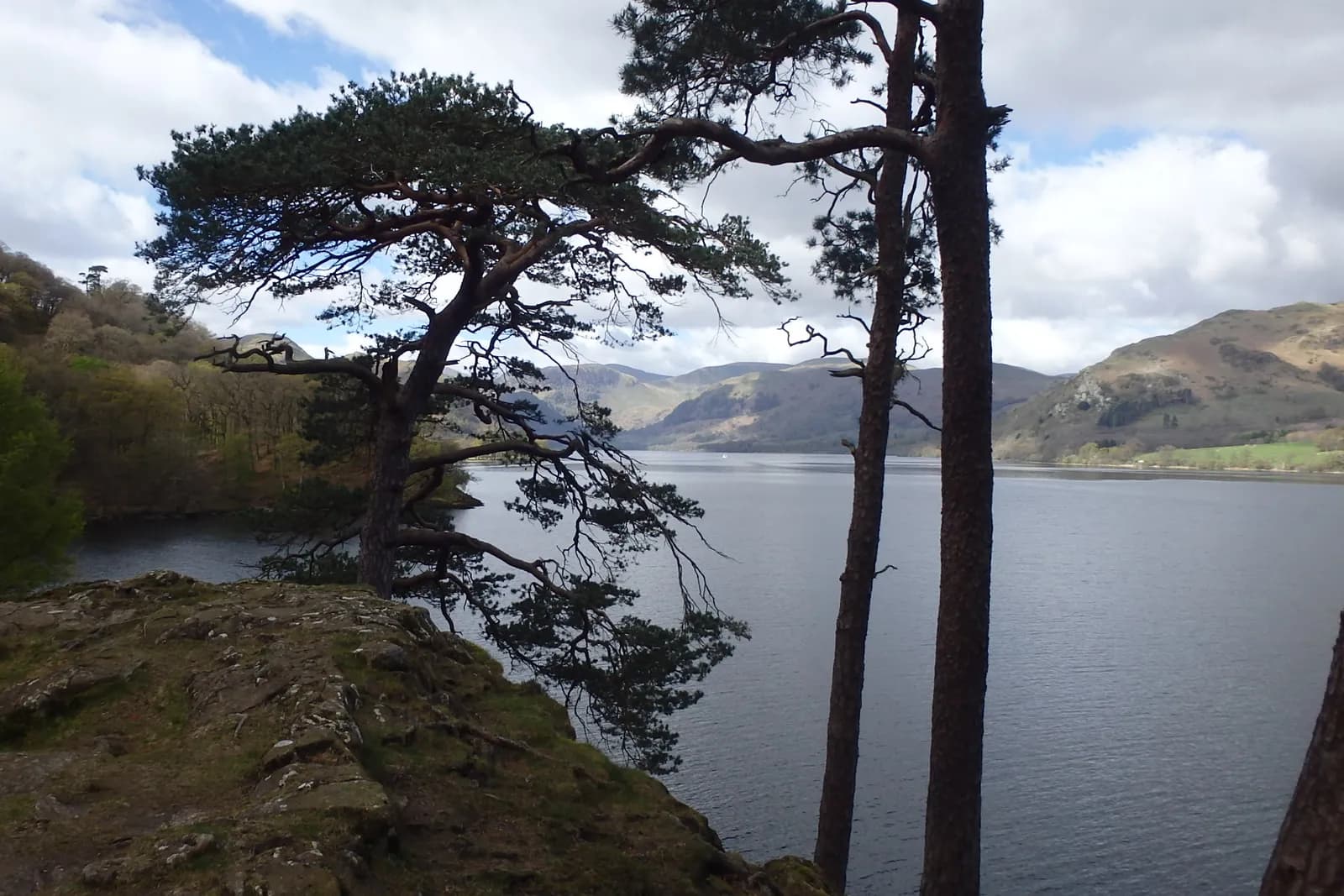
This is the walk people come back to Ullswater for. You take the steamer from Glenridding across to Howtown, step off at the little pier, and walk back along the eastern shore, where no road runs. For most of the way it is just you, the lake, the fellside of Place Fell above and the big mountains of the Helvellyn range across the water.
The path is part of the Ullswater Way and it is never dull: through the hamlet of Sandwick, along wooded shores and pebble bays, round the rocky nose of Silver Point with its views up to Glenridding, then across the open valley floor by Side Farm to finish in the village.
It is undulating rather than hilly, but long, remote and rocky in places, so it suits reasonably fit walkers. Check the steamer timetable before you set out.
The route
- 1
Howtown to Sandwick
From Howtown Pier follow the signed Ullswater Way path round the bay and along the shore at the foot of Hallin Fell, past Kailpot Crag and through Hallinhag Wood, to the hamlet of Sandwick.
- 2
Along the shore
Beyond Sandwick, keep on the shore path through Scalehow Wood and along the base of the fell, crossing becks and passing small bays.
- 3
Silver Point
The path rounds Silver Point, a rocky promontory with one of the best views up the head of the lake. Continue on the undulating path below Silver Crag.
- 4
Side Farm and the valley
Drop to Side Farm and its tearoom, walk through the farm and take the track across the head of the lake to the outskirts of Patterdale.
- 5
Into Glenridding
Follow the pavement past St Patrick's Church into Glenridding and finish at the pier.
Questions people ask
How long is the walk from Howtown to Glenridding?
The Ullswater Way puts it at about 6.5 miles (10.5 km); walkers' GPS tracks often come out a little over 7 miles. Allow three to four hours.
Can you get the boat to Howtown and walk back?
Yes, that is the classic way to do it: sail from Glenridding to Howtown on an Ullswater steamer and walk back along the shore.
Is the Howtown to Glenridding walk hard?
It is undulating rather than steep, but long and rocky in places, so it suits reasonably fit walkers.
More walks nearby
Hallin Fell and the Ullswater shore from Martindale
Moderate, 5.0 km, 266 m up, about 1 hour 30 minutes
Ullswater's best small fell: a 20-minute pull to a huge summit cairn, then a loop round the wooded shore past Kailpot Crag.
Aira Force waterfall loop
Easy, 1.5 km, 50 m up, about 30 minutes
A short woodland loop on National Trust land above Ullswater to the foot and top of Aira Force, one of the Lakes' best known waterfalls.
Dunmallard Hill from Pooley Bridge
Easy, 2.1 km, 111 m up, about 30 minutes
A short woodland loop from Pooley Bridge over the wooded knoll at the foot of Ullswater, with the remains of an Iron Age fort on top.