Dunmallard Hill from Pooley Bridge
A short woodland loop from Pooley Bridge over the wooded knoll at the foot of Ullswater, with the remains of an Iron Age fort on top.
- Distance
- 2.1 km
- 1.3 miles
- Ascent
- 111 m
- High point 243 m
- Time
- 30 minutes
- Walking time, no stops
- Grade
- Easy
- Circular
Take this walk with you
Google Maps does not know most fell paths, so use it to get to the start, then follow the GPX in an app like OS Maps, Komoot or AllTrails. To see the line in Google Maps, open Google My Maps, create a map, choose Import and pick the KML file. It then appears in the Google Maps app under Saved, Maps.
Weather on this walk
Loading the forecast
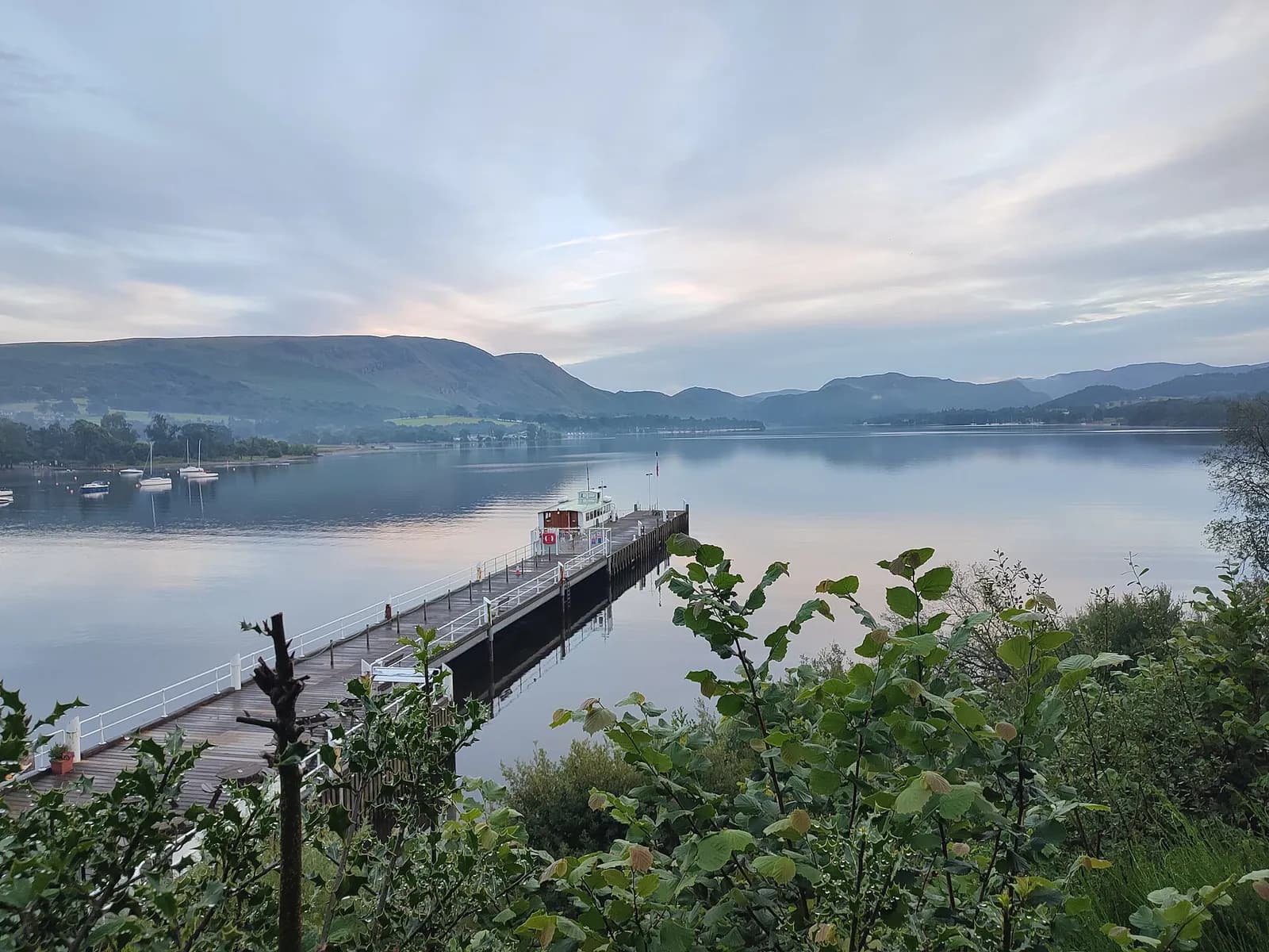
Dunmallard is the steep, tree-covered hill that stands guard over Pooley Bridge where the River Eamont leaves Ullswater. It is ancient woodland, and on its summit are the remains of an Iron Age fort, though today you will mostly notice the trees and the glimpses of the lake through them.
The loop is short and easy: along the foot of the wood by the river, round to the back of the hill and up to the top, then down to the village. It takes about an hour and is ideal before or after a steamer trip or lunch in Pooley Bridge.
For anyone wanting a step-free option, the Lake District National Park's Miles without Stiles route 49 follows a level gravel path along the foot of the wood from the same car park to benches by the Eamont.
The route
- 1
From the car park
Leave Dunmallard car park at its northern end and follow the path along the foot of Dunmallard Wood beside the River Eamont.
- 2
Round the hill
Follow the woodland trail round the lower slopes to the back of the hill.
- 3
To the top
Climb the path up through the trees and over the remains of the old settlement to the summit.
- 4
Back to Pooley Bridge
Descend through the wood to the car park and the village.
Questions people ask
How long is the Dunmallard Hill walk?
About 1 to 1.5 miles, taking around an hour.
Is there a hill fort on Dunmallard?
Yes. The National Park notes the remains of an Iron Age fort at the summit of Dunmallard Wood.
Is there an accessible walk at Pooley Bridge?
Yes. Miles without Stiles route 49 follows a level gravel path from Dunmallard car park along the wood to benches by the River Eamont.
More walks nearby
Ullswater Way: Howtown to Glenridding
Moderate, 11.3 km, 317 m up, about 3 hours
A favourite low-level Lakes walk: steamer to Howtown, then home along the wild eastern shore of Ullswater to Glenridding.
Hallin Fell and the Ullswater shore from Martindale
Moderate, 5.0 km, 266 m up, about 1 hour 30 minutes
Ullswater's best small fell: a 20-minute pull to a huge summit cairn, then a loop round the wooded shore past Kailpot Crag.
Aira Force waterfall loop
Easy, 1.5 km, 50 m up, about 30 minutes
A short woodland loop on National Trust land above Ullswater to the foot and top of Aira Force, one of the Lakes' best known waterfalls.
Food, drink and beds near the start

Another Place - The Lake
Lakeside Hotel, Ullswater, £££, dogs welcome
A relaxed lakeside hotel on the shore of Ullswater built around the outdoors, with paddleboarding, kayaking and open water swimming on the doorstep. Eat in Rampsbeck, The Living Space or the Glasshouse, then swim in the pool looking out to the fells.
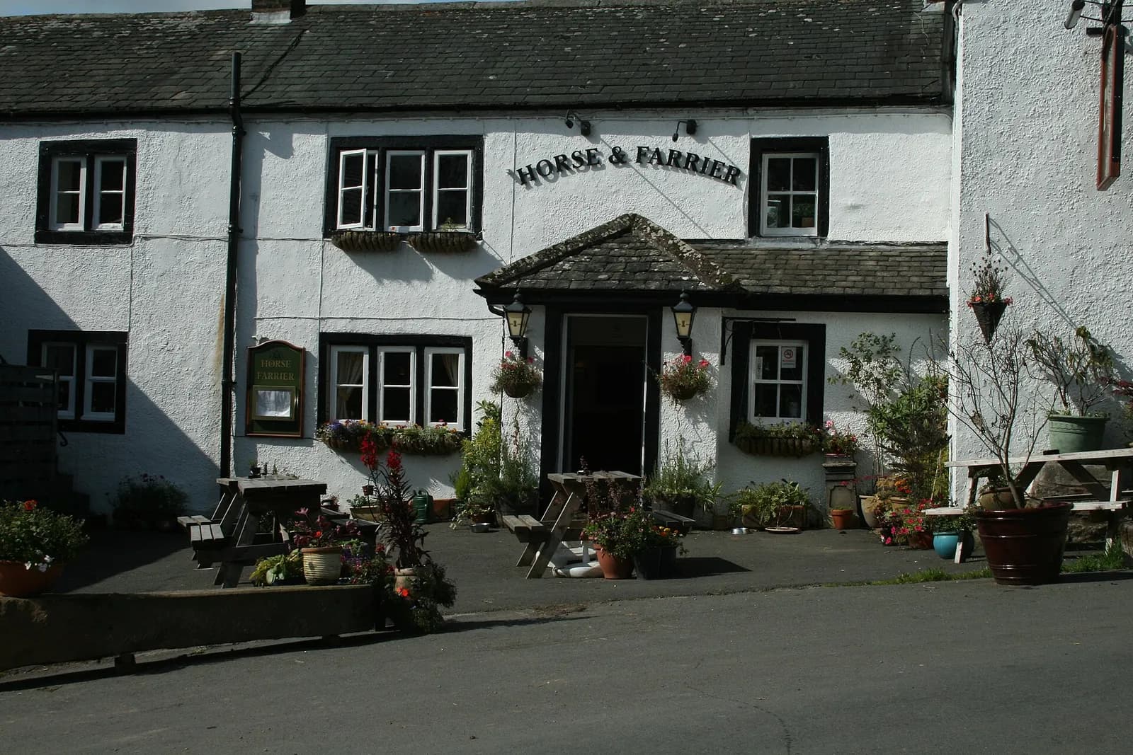
The Horse and Farrier
Traditional, Dacre, ££
A friendly Ullswater-area inn with good ale selection and a menu built around proper Cumbrian produce.
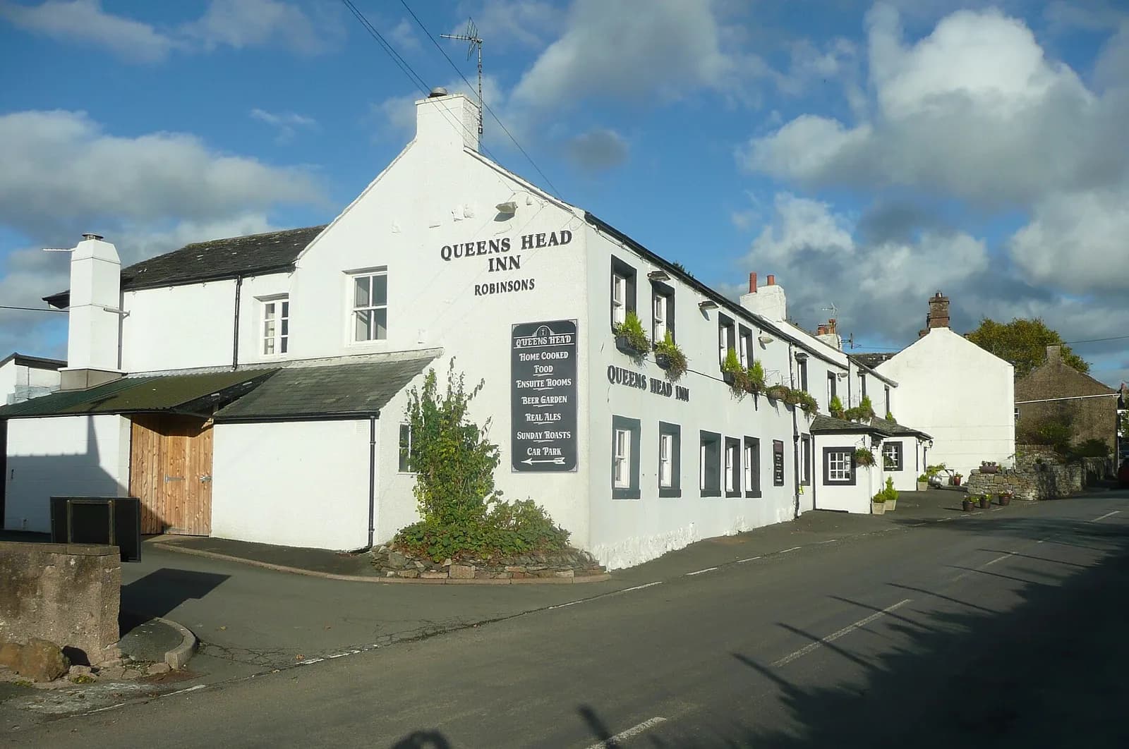
The Queens Head
Traditional, Tirril, ££
A stone-flagged, beamed old inn in Tirril near Ullswater, the village pub where the Tirril Brewery began before it moved to bigger premises. Properly old-school.
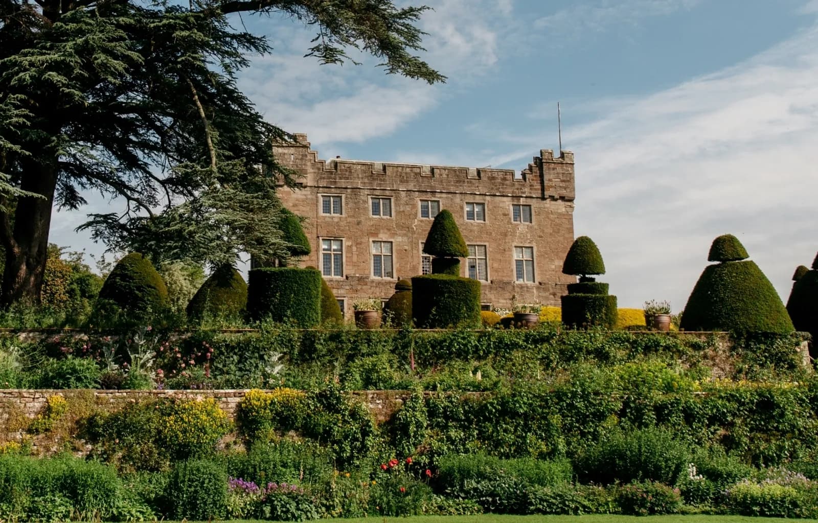
Allium at Askham Hall
Farm to Table, Askham, £££, dogs welcome
Garden-to-plate dining at its most authentic - much of what you eat is grown steps from the kitchen in this stunning Grade I hall.
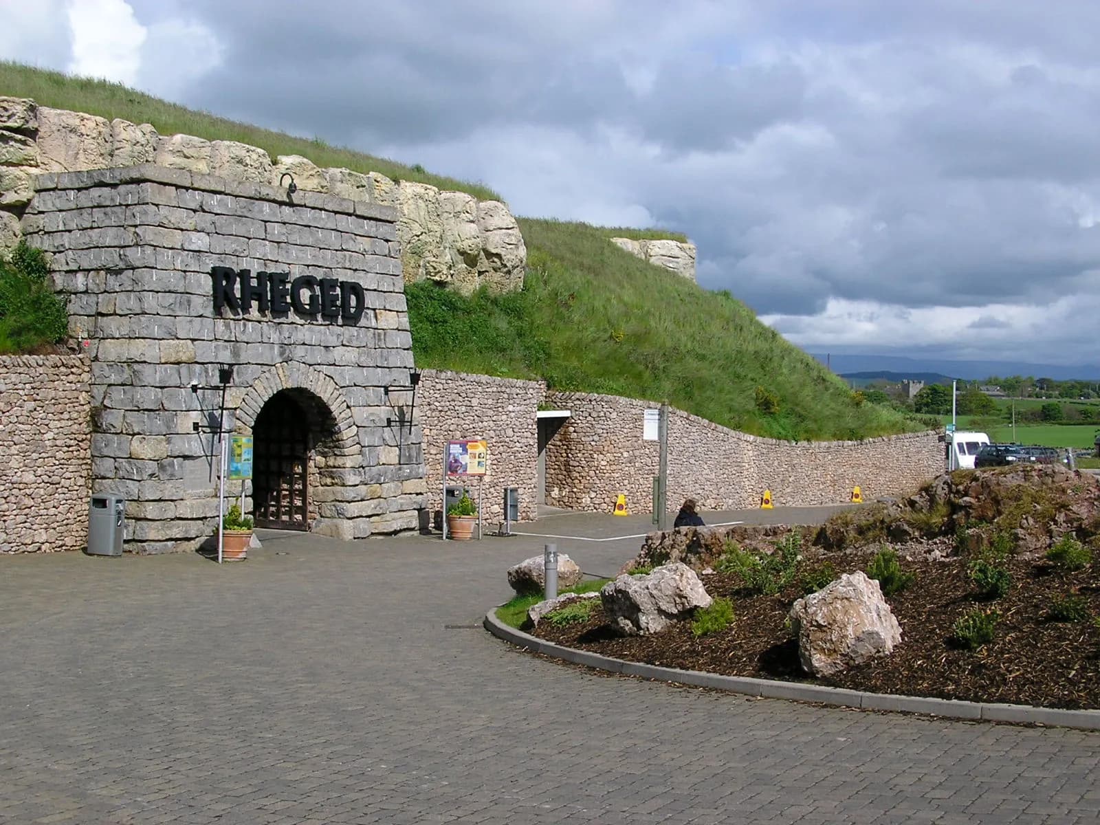
Rheged Centre
Culture & Food, Penrith, £, dogs welcome
A hillside-built cultural centre near Penrith from the family behind Tebay Services, with a gallery, cinema, shops and a cafe and deli championing Cumbrian producers.