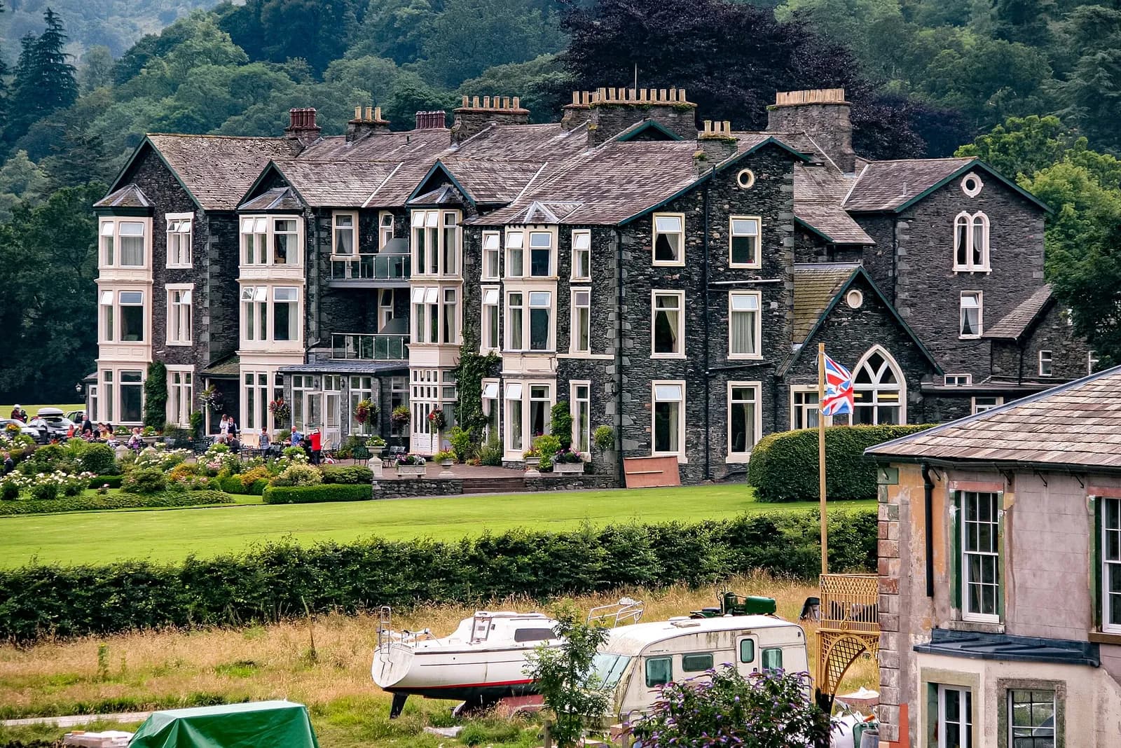
Place Fell from Patterdale
The best viewpoint over Ullswater for the effort: up from Patterdale to Boredale Hause and Place Fell, then down by The Knight to the lakeshore path.
- Distance
- 7.6 km
- 4.7 miles
- Ascent
- 542 m
- High point 652 m
- Time
- 2 hours 30 minutes
- Walking time, no stops
- Grade
- Moderate
- Circular
Take this walk with you
Google Maps does not know most fell paths, so use it to get to the start, then follow the GPX in an app like OS Maps, Komoot or AllTrails. To see the line in Google Maps, open Google My Maps, create a map, choose Import and pick the KML file. It then appears in the Google Maps app under Saved, Maps.
Weather on this walk
Loading the forecast
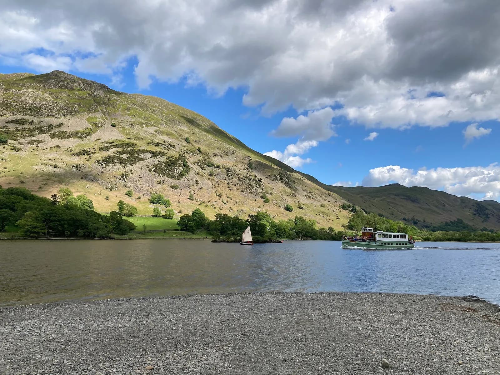
Place Fell rises straight out of the head of Ullswater, opposite Glenridding and Patterdale, and from its summit you look across at Helvellyn and along the length of the lake. It is only 657 metres high but has the presence of a much bigger hill.
The route climbs on good paths through Rooking to the crossroads at Boredale Hause, then up a steeper, rockier slope past Round How to the summit. The way down follows the north-west shoulder over The Knight and drops to the old path along the eastern shore, one of the prettiest bits of the Ullswater Way.
It is a comfortable half day for most walkers, with a proper summit feel and very little road walking.
The route
- 1
Patterdale to Rooking
From the car park by the Patterdale Hotel walk south along the road and take the lane on the left over Goldrill Beck to the hamlet of Rooking.
- 2
Up to Boredale Hause
Climb the path that slants up the open hillside to Boredale Hause, a meeting point of old tracks between Patterdale, Boredale and Martindale.
- 3
Boredale Hause to the summit
Turn left and climb north on the steeper path past the craggy knoll of Round How. The path levels onto the summit plateau and the top is a short way on.
- 4
Down by The Knight
Leave the summit north-west, dropping over the rocky shoulder of The Knight with Ullswater spread out below you.
- 5
The lakeshore path home
Descend to the path along the eastern shore of Ullswater and turn left, following it south above the lake and past Side Farm, then back across the valley to Patterdale.
Questions people ask
Where do you park for Place Fell?
Mud and Routes recommends the pay and display car park close to the Patterdale Hotel.
How long does it take to climb Place Fell?
Mud and Routes allows about three hours for its 6.28 km round from Patterdale.
Is Place Fell a hard walk?
It is one of the gentler fell walks around Ullswater, with good paths, though the climb above Boredale Hause is steep.
Can you make Place Fell longer?
Yes. You can carry on north towards High Dodd and Sandwick and return along the Ullswater shore path.
More walks nearby
Helvellyn via Striding Edge and Swirral Edge
Mountain, 13.3 km, 955 m up, about 4 hours 30 minutes
England's most famous ridge scramble: from Glenridding over the knife edge of Striding Edge to Helvellyn, then down Swirral Edge past Red Tarn.
Helvellyn by the Pony Path from Glenridding
Hard, 20.4 km, 1132 m up, about 6 hours
Helvellyn without the scrambles: up the old pony path from Glenridding via Keppel Cove, along the summit ridge to Dollywaggon Pike and home down Grisedale.
Aira Force waterfall loop
Easy, 1.5 km, 50 m up, about 30 minutes
A short woodland loop on National Trust land above Ullswater to the foot and top of Aira Force, one of the Lakes' best known waterfalls.