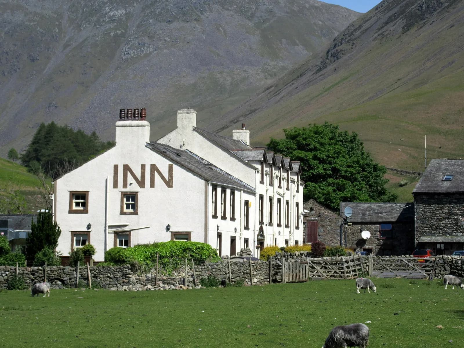
Scafell Pike from Wasdale Head
The shortest way up England's highest mountain: from the head of Wastwater by Lingmell Gill and Brown Tongue to the summit of Scafell Pike.
- Distance
- 8.7 km
- 5.4 miles
- Ascent
- 969 m
- High point 975 m
- Time
- 3 hours 30 minutes
- Walking time, no stops
- Grade
- Mountain
- There and back
Take this walk with you
Google Maps does not know most fell paths, so use it to get to the start, then follow the GPX in an app like OS Maps, Komoot or AllTrails. To see the line in Google Maps, open Google My Maps, create a map, choose Import and pick the KML file. It then appears in the Google Maps app under Saved, Maps.
Weather on this walk
Loading the forecast
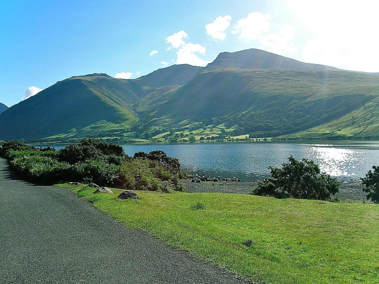
Scafell Pike, at 978 metres, is the roof of England, and Wasdale is its most dramatic doorstep: Wastwater's screes on one side, Great Gable at the head of the valley and the Scafell massif looming straight above the car park.
This is the most direct route to the top, climbing beside Lingmell Gill, up the steep pitched path of Brown Tongue into the rocky hollow of Hollow Stones and on via Lingmell Col to the summit boulder field. It is short in distance but relentlessly steep, with almost 1,000 metres of ascent. The return is by the same way.
The route
- 1
Wasdale Head to Lingmell Gill
From the car park cross the bridge and follow the track past the National Trust campsite, then pick up the path climbing beside Lingmell Gill.
- 2
Brown Tongue
Cross the gill and climb the long pitched staircase up Brown Tongue, the tongue of ground between two streams. It is steep and unrelenting; take it steadily.
- 3
Hollow Stones
The angle eases into Hollow Stones, a rough corrie under the crags of Scafell and Pikes Crag. Bear left on the main path, which climbs north-east up loose ground towards Lingmell Col.
- 4
Lingmell Col to the summit
From the col turn right and follow the cairned path up the stony shoulder and through the boulder field to the summit cairn and trig point.
- 5
Return
Retrace your steps carefully. In mist, check your direction off the summit: the cairned path to Lingmell Col heads north-west, and several other paths leave the top towards other valleys.
Questions people ask
What is the shortest route up Scafell Pike?
The route from Wasdale Head via Brown Tongue is the shortest, at around 9 km there and back.
How long does it take to climb Scafell Pike from Wasdale?
Most walkers take five to six hours for the round trip, though Mud and Routes suggests around three hours of walking for fit parties.
Where do you park for Scafell Pike in Wasdale?
At the National Trust Lake Head car park at the head of Wastwater, by the campsite.
Is Scafell Pike hard to climb?
It is steep and rough, with nearly 1,000 metres of ascent, but this route has no scrambling. Fitness and navigation are the main challenges.
More walks nearby
Great Gable from Honister via Moses' Trod
Hard, 9.7 km, 822 m up, about 3 hours 30 minutes
A big-mountain day from a high start: out along the old smugglers' track of Moses' Trod to Beck Head, up Great Gable, and home over Green Gable, Brandreth and Grey Knotts.
Haystacks from Gatesgarth
Hard, 7.7 km, 529 m up, about 2 hours 30 minutes
A small fell with a big character: from Gatesgarth over Scarth Gap to the craggy top of Haystacks, past Innominate Tarn and down Warnscale.
Borrowdale valley loop: Seatoller, Rosthwaite and Stonethwaite
Easy, 7.6 km, 199 m up, about 2 hours
A low-level ramble through the heart of Borrowdale: Johnny Wood, the River Derwent, Rosthwaite and the quiet side valley to Stonethwaite.