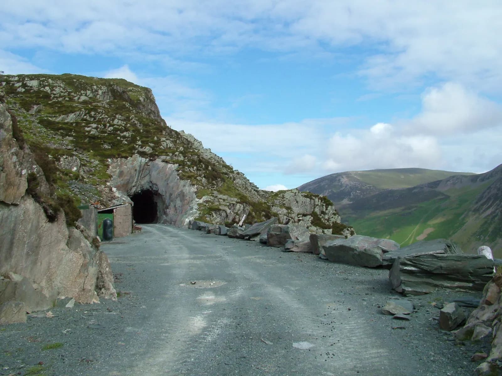
Haystacks from Gatesgarth
A small fell with a big character: from Gatesgarth over Scarth Gap to the craggy top of Haystacks, past Innominate Tarn and down Warnscale.
- Distance
- 7.7 km
- 4.8 miles
- Ascent
- 529 m
- High point 593 m
- Time
- 2 hours 30 minutes
- Walking time, no stops
- Grade
- Hard
- Circular
Take this walk with you
Google Maps does not know most fell paths, so use it to get to the start, then follow the GPX in an app like OS Maps, Komoot or AllTrails. To see the line in Google Maps, open Google My Maps, create a map, choose Import and pick the KML file. It then appears in the Google Maps app under Saved, Maps.
Weather on this walk
Loading the forecast
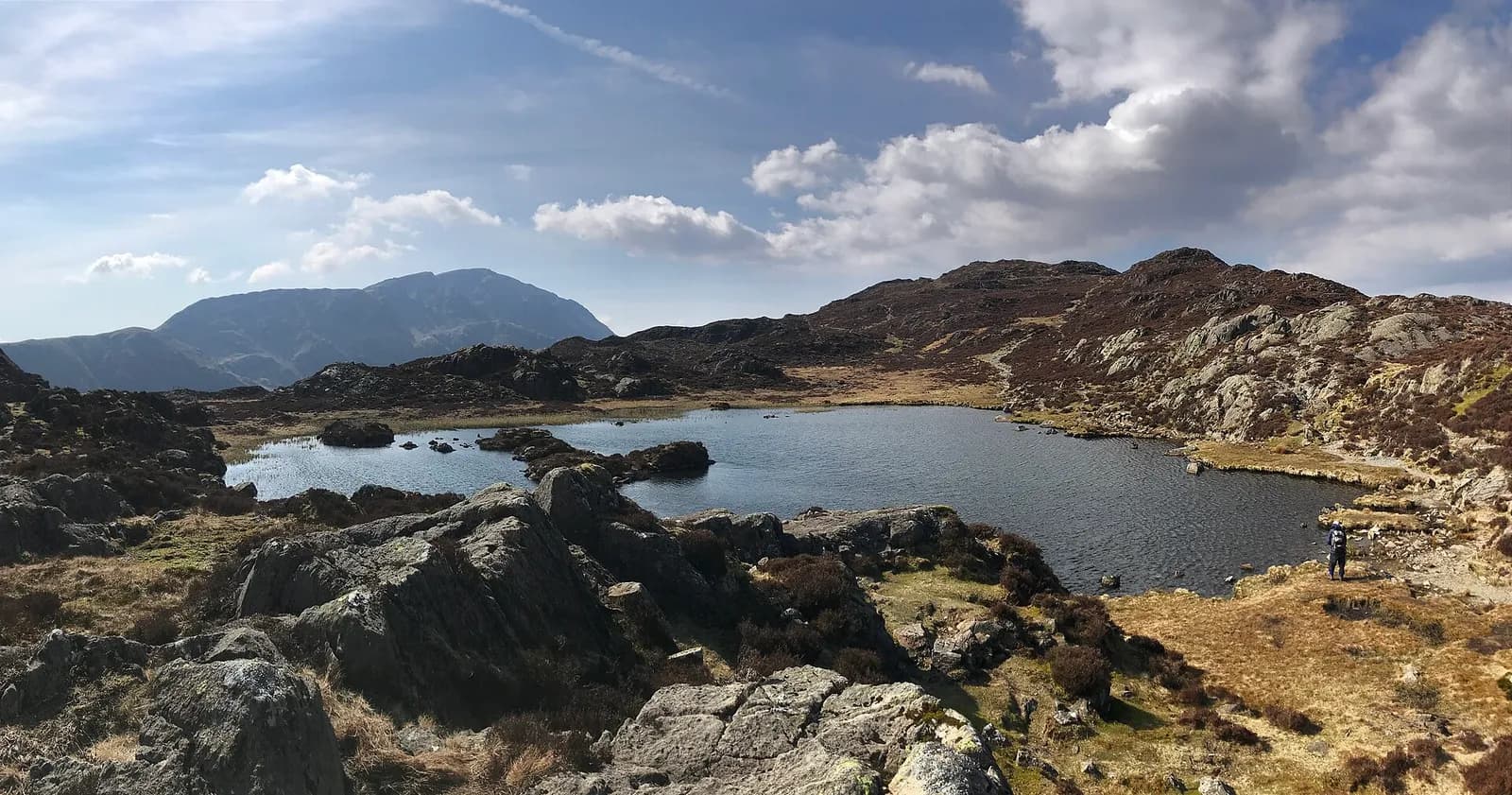
Haystacks is not high, but it is the fell many people remember most: a tangle of crags, heather, little tarns and rocky knolls, with Buttermere far below and Great Gable and Pillar close by.
This loop from Gatesgarth climbs to Scarth Gap, scrambles up the rocky western end to the summit, wanders past Innominate and Blackbeck Tarns and descends past the old slate workings into Warnscale. It is short, but rough and absorbing, with a few easy hands-on moments.
The route
- 1
Gatesgarth to Scarth Gap
Cross the road from the car park, go through the gates and follow the track across the valley floor. Climb beside the edge of the trees and onto the stone path up to the pass of Scarth Gap.
- 2
Up the west ridge
At Scarth Gap turn left behind the cairn and climb the rocky path towards Haystacks. Near the top the path becomes loose rock with a few easy scrambly steps.
- 3
The summit
The top is a rocky crest. Take time for the view over Buttermere and Crummock Water and across to Pillar.
- 4
Innominate and Blackbeck Tarns
Follow the winding path east past Innominate Tarn and on, through heather and rocky knolls, to Blackbeck Tarn.
- 5
Down Warnscale
Continue towards the old Dubs slate workings, then take the path that descends beside Warnscale Beck into Warnscale Bottom and back along the valley to Gatesgarth.
Questions people ask
Where do you park for Haystacks?
At Gatesgarth Farm car park at the foot of Honister Pass, at the south-east end of Buttermere. It is privately run.
Is Haystacks hard to climb?
It is short but rough, with some easy scrambly steps near the top and tricky navigation on the summit area.
Can you add Fleetwith Pike to Haystacks?
Yes. Mud and Routes describes a 9.6 km loop from Gatesgarth that adds Fleetwith Pike from the Dubs quarry before descending Warnscale.
More walks nearby
Buttermere lake circuit
Easy, 8.8 km, 122 m up, about 2 hours
A level walk all the way round Buttermere, with a lakeshore tunnel, a beach at the head of the lake and the High Stile ridge towering above.
Red Pike, High Stile and High Crag from Buttermere
Hard, 14.1 km, 839 m up, about 4 hours
One of Lakeland's great ridge walks: up past Bleaberry Tarn to Red Pike, along the crags to High Stile and High Crag, then down Gamlin End to Scarth Gap and the lake.
Great Gable from Honister via Moses' Trod
Hard, 9.7 km, 822 m up, about 3 hours 30 minutes
A big-mountain day from a high start: out along the old smugglers' track of Moses' Trod to Beck Head, up Great Gable, and home over Green Gable, Brandreth and Grey Knotts.