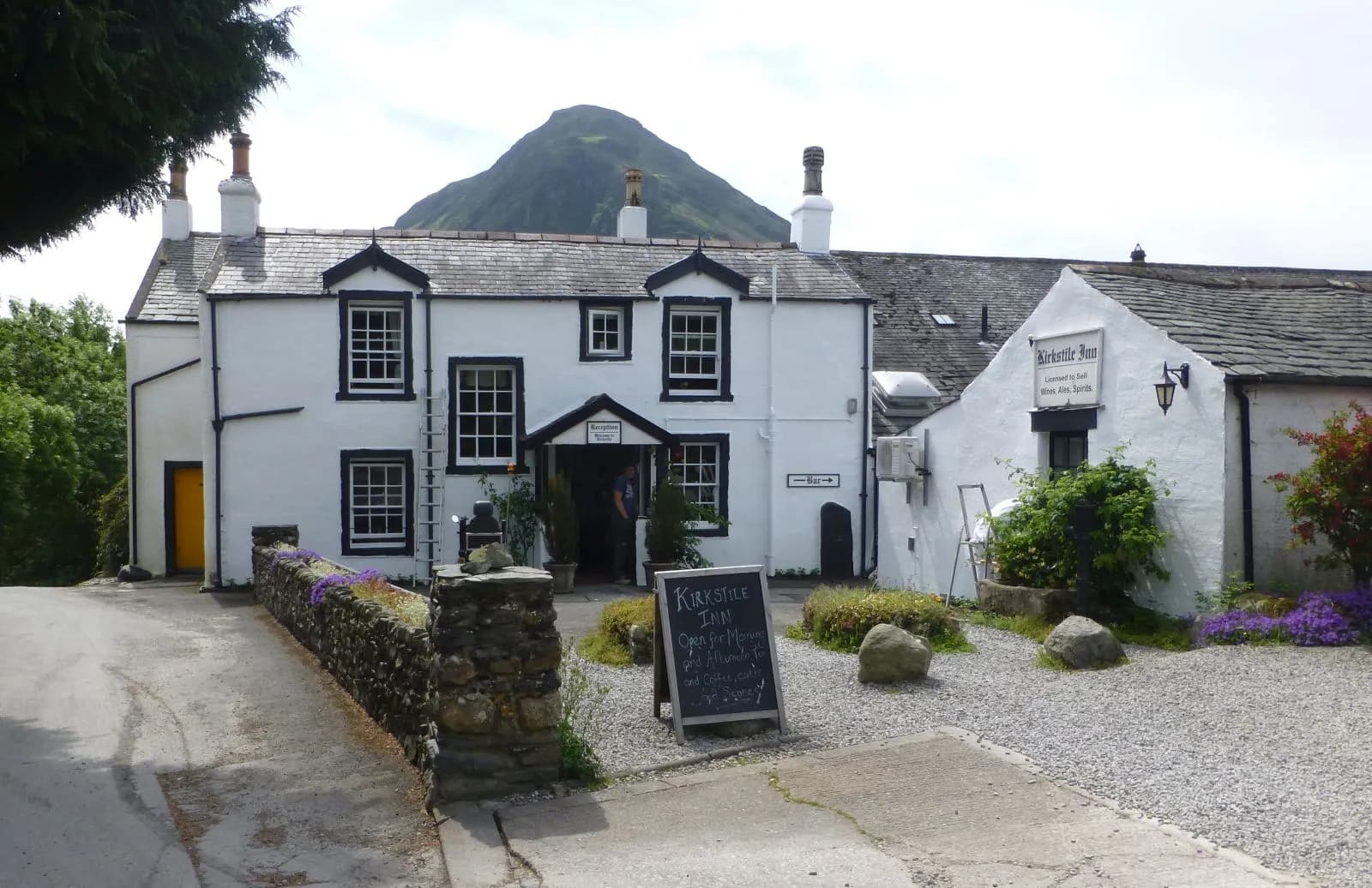
Buttermere lake circuit
A level walk all the way round Buttermere, with a lakeshore tunnel, a beach at the head of the lake and the High Stile ridge towering above.
- Distance
- 8.8 km
- 5.5 miles
- Ascent
- 122 m
- High point 145 m
- Time
- 2 hours
- Walking time, no stops
- Grade
- Easy
- Circular
Take this walk with you
This route is on paths Google Maps knows, so the walking link follows it closely. The GPX is still the exact line. To see the line in Google Maps, open Google My Maps, create a map, choose Import and pick the KML file. It then appears in the Google Maps app under Saved, Maps.
Weather on this walk
Loading the forecast
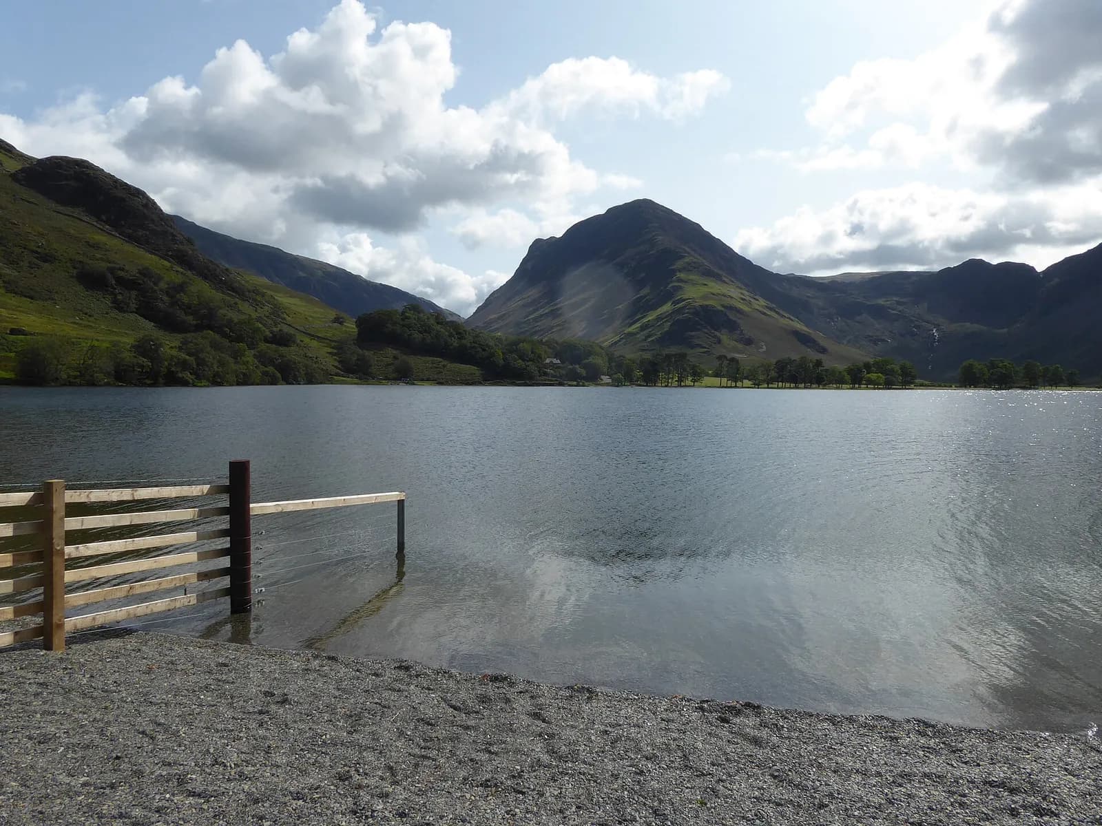
Buttermere might be the most beautiful lake walk in the country. The path hugs the shore almost all the way round, the fells rise steeply on every side, and at the head of the lake Fleetwith Pike and Haystacks close the valley like a stage set.
The circuit is mostly level and on good paths, with a short rock tunnel cut through a headland on the north-east shore and a quiet return through Burtness Wood beneath the High Stile ridge. It is a walk for any time of year, for families and for anyone who wants big scenery without a big climb.
The route
- 1
Village to the lake
From the car park walk past the Bridge Hotel and up past the church hall, then through the yard of Syke Farm and down the path to the lakeshore.
- 2
The north-east shore
Cross the footbridge over the beck and follow the path along the shore. Just past Hassness it passes through a short, low tunnel cut through the rock; it can be dark and puddled.
- 3
The head of the lake
Continue to the gravel beach at the south-east end for the view of Fleetwith Pike and Haystacks, then follow the road a short way towards Gatesgarth Farm.
- 4
Peggy's Bridge
Turn off on the path across the fields to Peggy's Bridge over the stream at the head of the lake.
- 5
Through Burtness Wood
Cross the footbridge over Comb Beck and follow the lower path along the south-west shore through Burtness Wood.
- 6
Back to Buttermere
Cross the footbridges near Sourmilk Gill and Buttermere Dubs and follow the field track back to the village, passing the lone tree that photographers love.
Questions people ask
How long is the walk around Buttermere?
Around 7 to 8 km, taking two to three hours. Mud and Routes gives 7.6 km.
Is the Buttermere walk flat?
Almost. There are a few gentle slopes, but no real climbing.
Is there a tunnel on the Buttermere walk?
Yes, a short rock tunnel on the north-east shore. It is low and can be dark and wet.
Can you get a bus to Buttermere?
Yes. The 77 and 77A Honister Rambler run from Keswick in season.
More walks nearby
Red Pike, High Stile and High Crag from Buttermere
Hard, 14.1 km, 839 m up, about 4 hours
One of Lakeland's great ridge walks: up past Bleaberry Tarn to Red Pike, along the crags to High Stile and High Crag, then down Gamlin End to Scarth Gap and the lake.
Rannerdale Knotts and the bluebell valley
Moderate, 5.3 km, 356 m up, about 1 hour 30 minutes
A small fell with a big view over Crummock Water, climbed via Rannerdale, the valley famous for its May carpet of bluebells.
Haystacks from Gatesgarth
Hard, 7.7 km, 529 m up, about 2 hours 30 minutes
A small fell with a big character: from Gatesgarth over Scarth Gap to the craggy top of Haystacks, past Innominate Tarn and down Warnscale.