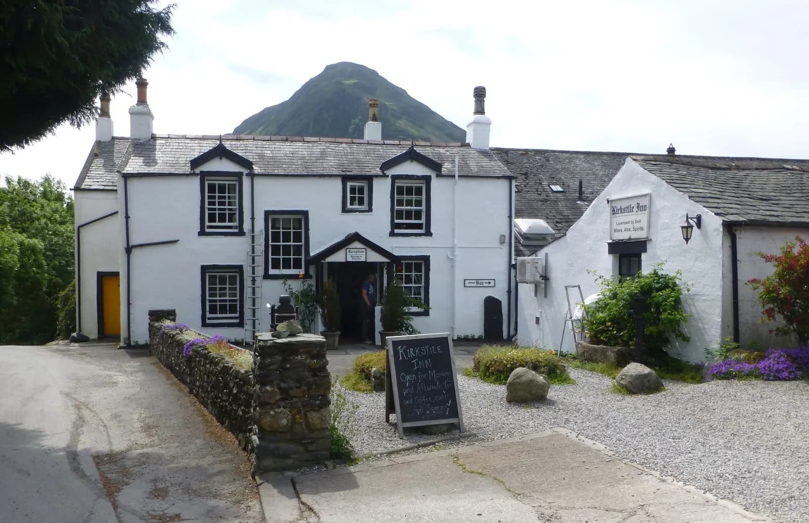
Red Pike, High Stile and High Crag from Buttermere
One of Lakeland's great ridge walks: up past Bleaberry Tarn to Red Pike, along the crags to High Stile and High Crag, then down Gamlin End to Scarth Gap and the lake.
- Distance
- 14.1 km
- 8.8 miles
- Ascent
- 839 m
- High point 804 m
- Time
- 4 hours
- Walking time, no stops
- Grade
- Hard
- Circular
Take this walk with you
Google Maps does not know most fell paths, so use it to get to the start, then follow the GPX in an app like OS Maps, Komoot or AllTrails. To see the line in Google Maps, open Google My Maps, create a map, choose Import and pick the KML file. It then appears in the Google Maps app under Saved, Maps.
Weather on this walk
Loading the forecast
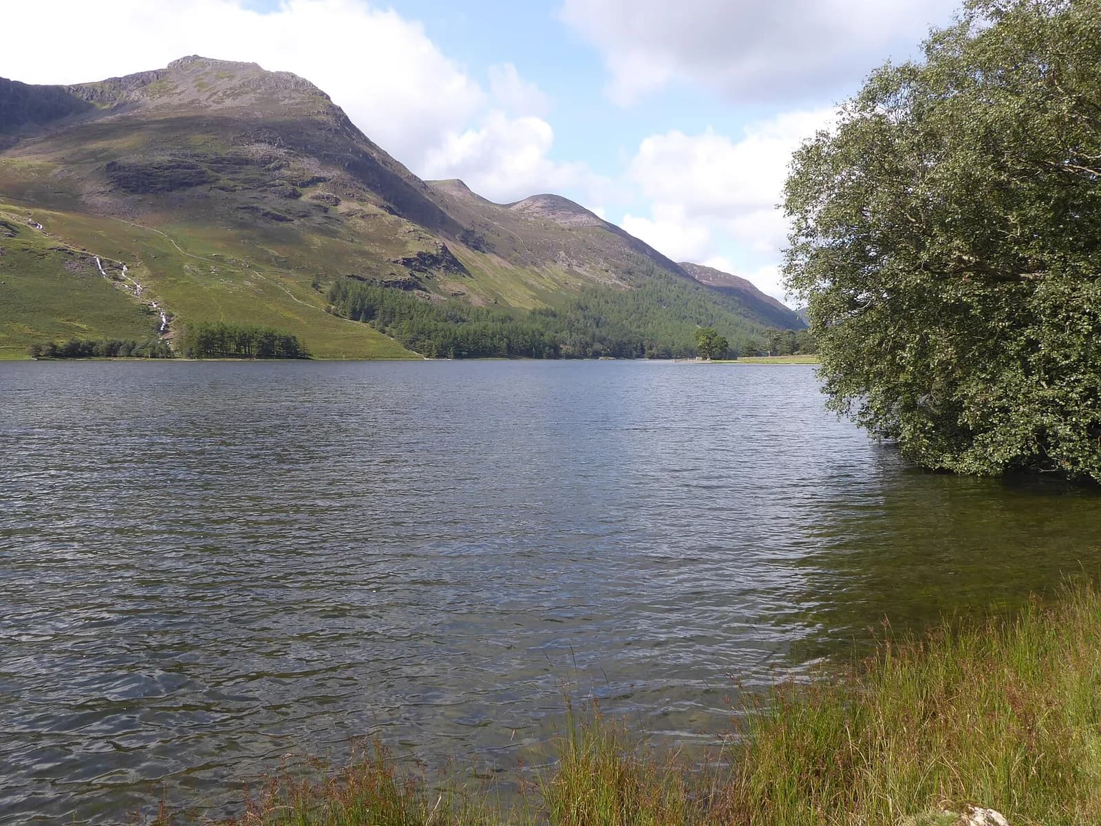
The High Stile ridge is the wall of crags and coves that rises straight out of the south-west shore of Buttermere. Walk it on a clear day and you spend hours with Buttermere and Crummock Water on one side and the wild trench of Ennerdale on the other.
The anticlockwise round starts with a long climb through Burtness Wood to Bleaberry Tarn, then up a steep, eroded slope to the red-stained summit of Red Pike. From there the ridge is easy going along the rim of Chapel Crags and Burtness Comb to High Stile and High Crag. The steep descent of Gamlin End has been tamed with a stepped path, and Scarth Gap leads down to the lake for a gentle walk home.
It is a long, demanding day for experienced walkers, and one to save for good weather.
The route
- 1
Buttermere to the lake
From the car park take the lane past the Fish Inn and follow it through gates to the shore of Buttermere. Cross the footbridge over Buttermere Dubs and the next bridge just beyond.
- 2
Through the woods to Bleaberry Tarn
Take the path climbing right into Burtness Wood. It is steep but well made and climbs all the way to Bleaberry Tarn, tucked under the crags of Red Pike.
- 3
Up Red Pike
Pass the northern shore of the tarn and climb to The Saddle, then turn left for the final, very steep and eroded pull to the summit of Red Pike.
- 4
Along the ridge to High Crag
Follow the ridge path south-east along the rim of Chapel Crags to High Stile, then on above Burtness Comb to High Crag. Old metal boundary posts mark the line, which helps in poor visibility.
- 5
Gamlin End and Scarth Gap
Descend the very steep stepped path down Gamlin End, skirt the knoll of Seat and continue down rocky ground to the cairn on Scarth Gap.
- 6
Back along Buttermere
Turn left and descend towards the lake, then follow the path along the south-west shore, through the woods, back to the Buttermere Dubs bridges and the village.
Questions people ask
How long is the Red Pike and High Stile walk?
GPS Routes gives 12 km for this circuit from Buttermere village over Red Pike, High Stile and High Crag, returning by Scarth Gap and the lake.
Which way round should you walk the High Stile ridge?
Mud and Routes says anticlockwise, with Red Pike first, is the more usual direction.
How high is High Stile?
GPS Routes gives 807 metres, making it the highest point of the ridge.
Can you add Haystacks?
Yes. From Scarth Gap you can climb Haystacks and return by Warnscale, which Mud and Routes describes as the full Buttermere ridge at about 16 km.
More walks nearby
Buttermere lake circuit
Easy, 8.8 km, 122 m up, about 2 hours
A level walk all the way round Buttermere, with a lakeshore tunnel, a beach at the head of the lake and the High Stile ridge towering above.
Rannerdale Knotts and the bluebell valley
Moderate, 5.3 km, 356 m up, about 1 hour 30 minutes
A small fell with a big view over Crummock Water, climbed via Rannerdale, the valley famous for its May carpet of bluebells.
Haystacks from Gatesgarth
Hard, 7.7 km, 529 m up, about 2 hours 30 minutes
A small fell with a big character: from Gatesgarth over Scarth Gap to the craggy top of Haystacks, past Innominate Tarn and down Warnscale.