Wansfell Pike and Troutbeck from Ambleside
Ambleside's own fell: past Stock Ghyll Force to Wansfell Pike, down Nanny Lane to Troutbeck, home through Skelghyll Woods and Jenkin Crag.
- Distance
- 11.6 km
- 7.2 miles
- Ascent
- 602 m
- High point 481 m
- Time
- 3 hours 30 minutes
- Walking time, no stops
- Grade
- Hard
- Circular
Take this walk with you
Google Maps does not know most fell paths, so use it to get to the start, then follow the GPX in an app like OS Maps, Komoot or AllTrails. To see the line in Google Maps, open Google My Maps, create a map, choose Import and pick the KML file. It then appears in the Google Maps app under Saved, Maps.
Weather on this walk
Loading the forecast
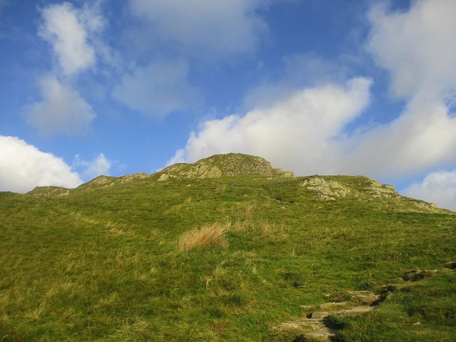
Wansfell Pike is the steep green fell that rises straight out of the back of Ambleside, and climbing it from the town is one of the great Lakeland half-days. You start among the shops, pass the waterfall at Stock Ghyll Force, and within an hour you are on a rocky top looking down the full length of Windermere.
Instead of going back the same way, this loop drops east down the walled Nanny Lane into Troutbeck, a village of old farmhouses that includes Townend, the National Trust's 17th-century yeoman farmer's house. The return follows quiet Robin Lane and the woodland path past Jenkin Crag, another fine Windermere viewpoint.
The climb from Ambleside is relentless, on stone steps most of the way, so this suits fit walkers. In return you get a proper summit, a pretty village and two lake views, all from the town centre.
The route
- 1
Up to Stock Ghyll Force
From the car park walk into the centre of Ambleside and take the lane behind the Market Hall signed for Stock Ghyll Force. A short detour through the woods takes in the waterfall, then rejoin the lane uphill.
- 2
The climb
Leave the lane where the path is signed for Wansfell and climb the stone-pitched path up the fellside. It is steep and steady all the way to the summit ridge, with the view opening up behind you.
- 3
Over the top
From the rocky top of Wansfell Pike cross the ridge wall and follow the path down the eastern side. It is boggy in places before it meets the walled track of Nanny Lane.
- 4
Down into Troutbeck
Follow Nanny Lane down into Troutbeck village and turn right along the road through the village towards Townend, the National Trust farmhouse at its southern end.
- 5
Robin Lane and Skelghyll
Just past Townend, take Robin Lane, a walled bridleway heading west along the hillside. Follow the signs for Ambleside past High Skelghyll farm and into Skelghyll Woods.
- 6
Jenkin Crag and back
Stop at Jenkin Crag for the view over Windermere, then follow the woodland path down through Skelghyll Woods to the A591 and back into Ambleside.
Questions people ask
How long does it take to climb Wansfell Pike?
Allow four to five hours for the full loop via Troutbeck. A straight up and down from Ambleside takes around two to three hours.
Is Wansfell Pike a hard walk?
The climb from Ambleside is short but very steep and stepped, so it feels hard for its height. The rest of the loop is easier going.
Can you visit Townend on the Wansfell walk?
Yes, the route passes it. Townend is run by the National Trust; check its opening times before you go.
Where do you park to walk up Wansfell Pike?
Use one of the pay and display car parks in Ambleside, such as Lake Road, and walk up through the town to Stock Ghyll.
More walks nearby
The Fairfield Horseshoe from Ambleside
Hard, 19.5 km, 1018 m up, about 5 hours 30 minutes
One of the great Lakeland rounds: from Ambleside up Nab Scar and over eight tops around the Rydal valley, with Fairfield's summit at the head.
Loughrigg Fell from Ambleside
Moderate, 10.2 km, 413 m up, about 2 hours 30 minutes
Ambleside's own fell: over the knobbly top of Loughrigg, along Loughrigg Terrace above Grasmere, past Rydal Cave and home by the River Rothay.
Rydal Water and Rydal Cave from Pelter Bridge
Easy, 6.8 km, 231 m up, about 1 hour 30 minutes
A full circuit of Rydal Water: the old Coffin Route, the River Rothay to Grasmere, Loughrigg Terrace and the great slate cavern of Rydal Cave.
Food, drink and beds near the start

Lake Road Kitchen
Nordic, Ambleside, £££
James Cross's small, fiercely independent Ambleside restaurant holds a Michelin star for tasting menus of five, eight or twelve servings, built on Lakeland produce with Nordic and Japanese influences. Cross cooked at Noma before opening here in 2014.
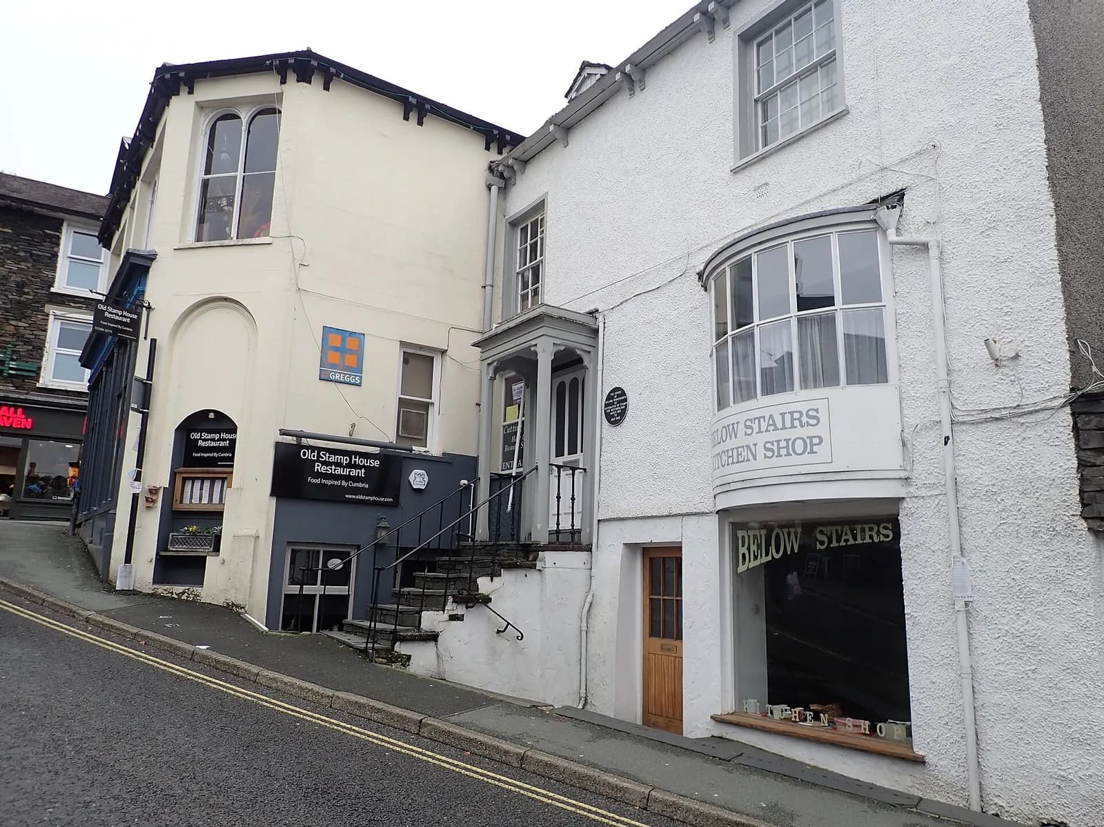
The Old Stamp House
Modern British, Ambleside, £££
Ryan Blackburn's Michelin-starred restaurant in Wordsworth's former office serves creative modern British food with a Cumbrian soul. The tasting menu is outstanding value, and the Lakeland ingredients shine.
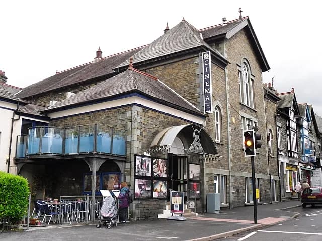
Zeffirellis
Vegetarian Italian, Ambleside, ££, dogs welcome
Vegetarian Italian cinema-restaurant hybrid that has been an Ambleside landmark for decades. The pizzas are excellent.
Dodds Restaurant
Modern British, Ambleside, ££
A relaxed, long-running Italian restaurant on Rydal Road in Ambleside, serving lunch and dinner with a takeaway menu too.
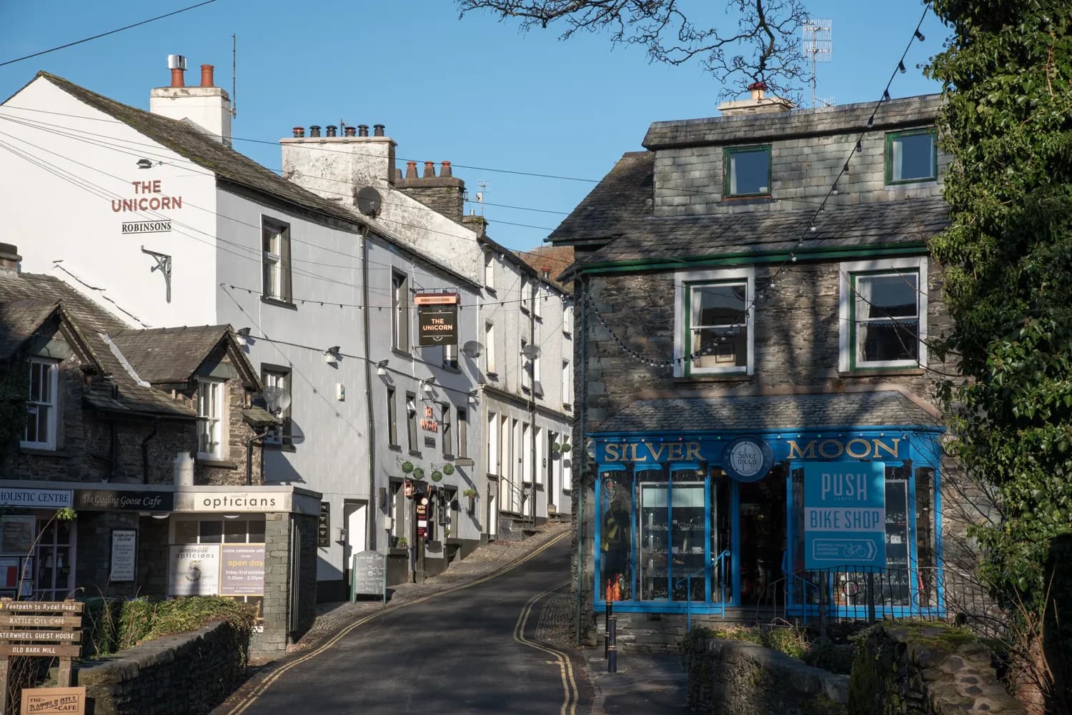
The Unicorn Inn
Traditional, Ambleside, £
A proper Ambleside local that doesn't try to be anything it isn't - good beer, good craic, good value.
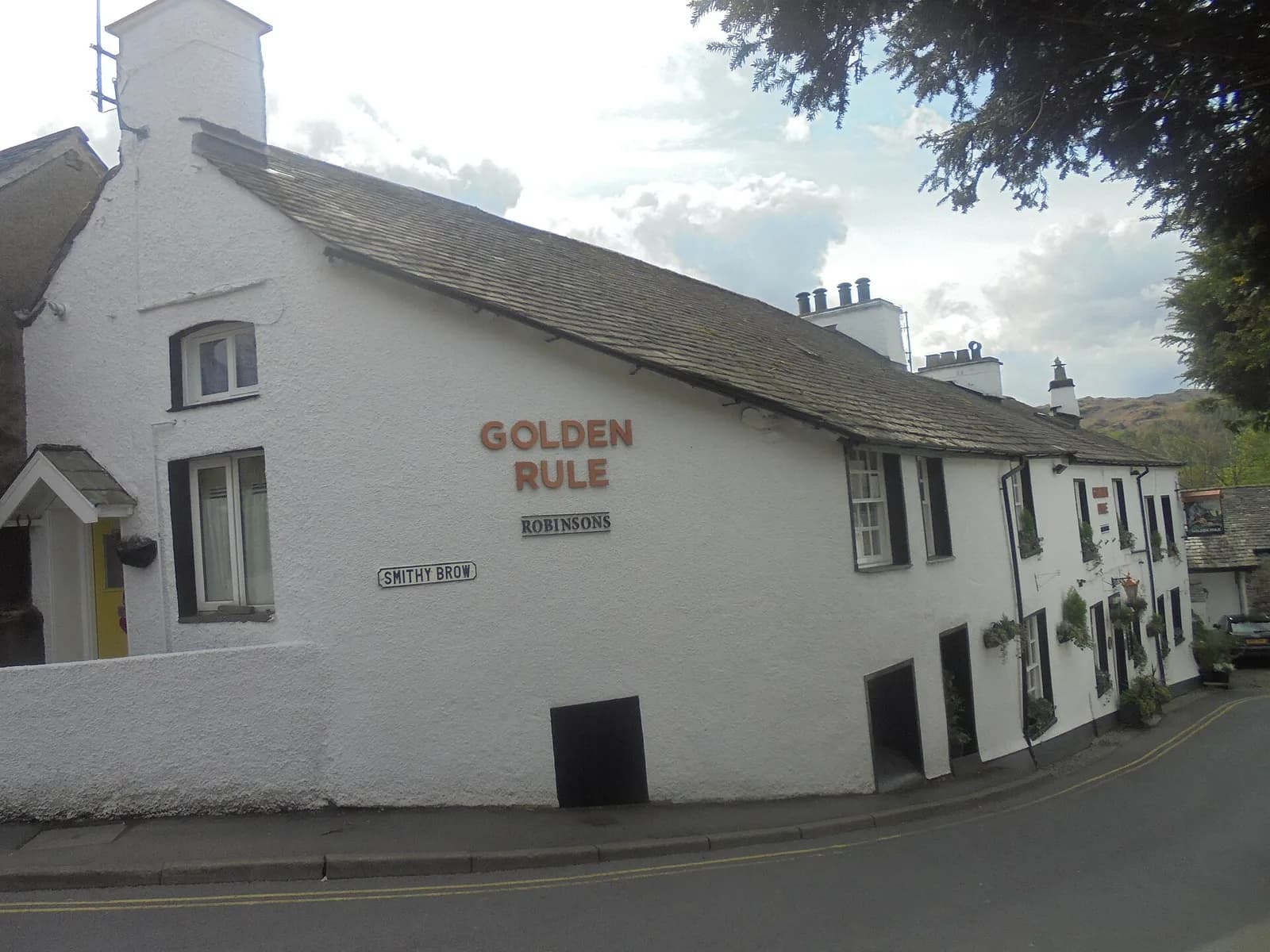
The Golden Rule
Traditional, Ambleside, £, dogs welcome
No food, no music, no pretence. Ambleside's no-nonsense Robinsons pub is a perfect pint in its purest form.