The Fairfield Horseshoe from Ambleside
One of the great Lakeland rounds: from Ambleside up Nab Scar and over eight tops around the Rydal valley, with Fairfield's summit at the head.
- Distance
- 19.5 km
- 12.1 miles
- Ascent
- 1018 m
- High point 872 m
- Time
- 5 hours 30 minutes
- Walking time, no stops
- Grade
- Hard
- Circular
Take this walk with you
Google Maps does not know most fell paths, so use it to get to the start, then follow the GPX in an app like OS Maps, Komoot or AllTrails. To see the line in Google Maps, open Google My Maps, create a map, choose Import and pick the KML file. It then appears in the Google Maps app under Saved, Maps.
Weather on this walk
Loading the forecast
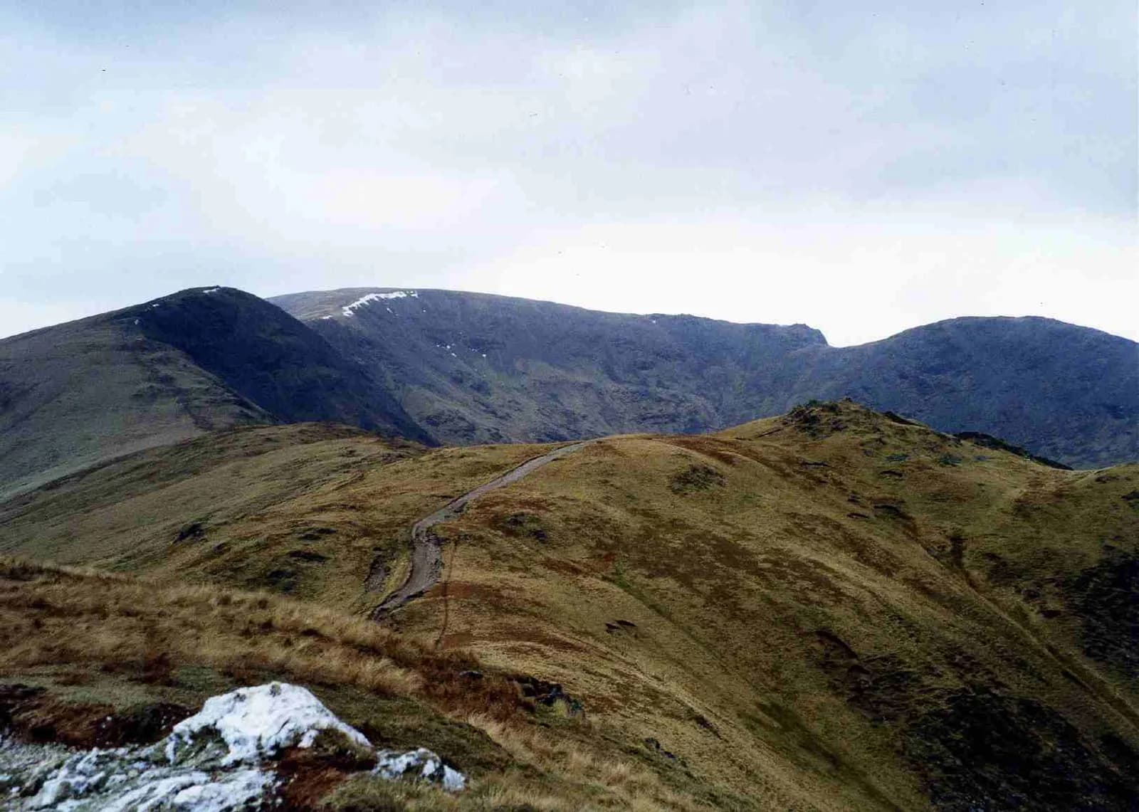
The Fairfield Horseshoe is the long ridge walk that wraps around the head of the Rydal valley, and it is one of the most satisfying days in the Lakes: a clear objective, a steady climb onto the ridge and then hours of high walking with the whole of central Lakeland around you.
This anticlockwise round starts in Ambleside, climbs from Rydal past Nab Scar, Heron Pike and Great Rigg to Fairfield, then swings round over Hart Crag, Dove Crag, High Pike and Low Pike before dropping back to town. There is no scrambling, but it is a long day on high ground that needs good weather and fitness.
The route
- 1
Ambleside to Rydal
From the car park walk north through Rothay Park and along the lane under Loughrigg to Pelter Bridge, then cross the main road to Rydal and climb the lane past Rydal Mount.
- 2
Up Nab Scar
Take the steep pitched path up Nab Scar, the first and hardest climb of the day, with Rydal Water below.
- 3
Along the western arm
Follow the ridge north over Heron Pike and Great Rigg. The path is clear and the going steadily rises to the stony dome of Fairfield.
- 4
Fairfield summit
The summit plateau is broad and stony. Find the shelter and take care: the northern edge drops away steeply into Deepdale and Cofa Pike.
- 5
The eastern arm
Head east then south-east over rough ground to Hart Crag, then follow the wall south over Dove Crag and High Pike.
- 6
Low Pike and down
Continue down the wall over Low Pike, then descend into the fields above Ambleside and follow the lane back into town.
Questions people ask
How long is the Fairfield Horseshoe?
Around 18 to 19 km from Ambleside with about 1,000 metres of ascent. Mud and Routes gives 18.52 km with 995 metres of climbing.
Which way round is best for the Fairfield Horseshoe?
Anticlockwise, as here, gets the steepest climb out of the way early on Nab Scar and leaves a gentle descent at the end.
How many fells are on the Fairfield Horseshoe?
This round crosses eight tops: Nab Scar, Heron Pike, Great Rigg, Fairfield, Hart Crag, Dove Crag, High Pike and Low Pike.
More walks nearby
Loughrigg Fell from Ambleside
Moderate, 10.2 km, 413 m up, about 2 hours 30 minutes
Ambleside's own fell: over the knobbly top of Loughrigg, along Loughrigg Terrace above Grasmere, past Rydal Cave and home by the River Rothay.
Wansfell Pike and Troutbeck from Ambleside
Hard, 11.6 km, 602 m up, about 3 hours 30 minutes
Ambleside's own fell: past Stock Ghyll Force to Wansfell Pike, down Nanny Lane to Troutbeck, home through Skelghyll Woods and Jenkin Crag.
Rydal Water and Rydal Cave from Pelter Bridge
Easy, 6.8 km, 231 m up, about 1 hour 30 minutes
A full circuit of Rydal Water: the old Coffin Route, the River Rothay to Grasmere, Loughrigg Terrace and the great slate cavern of Rydal Cave.
Food, drink and beds near the start
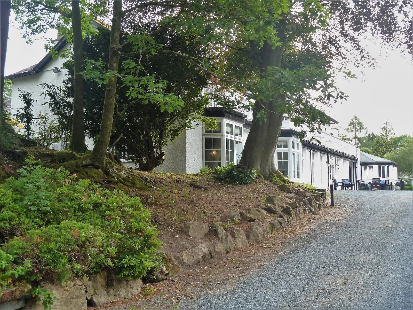
Rothay Manor
Modern British, Ambleside, £££, dogs welcome
Elegant Regency-era hotel dining with a seasonal menu that lets the best Cumbrian produce speak for itself.
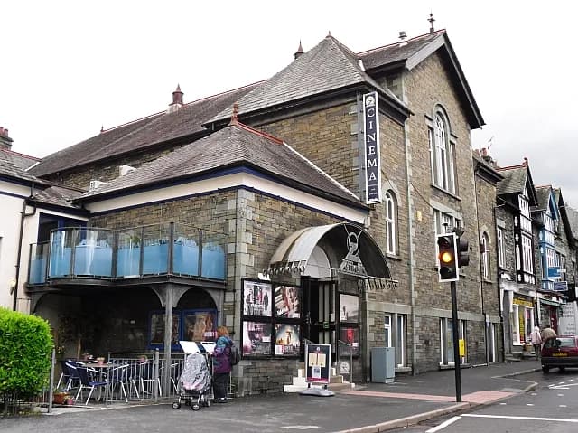
Zeffirellis
Vegetarian Italian, Ambleside, ££, dogs welcome
Vegetarian Italian cinema-restaurant hybrid that has been an Ambleside landmark for decades. The pizzas are excellent.
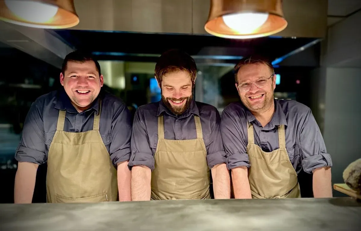
Lake Road Kitchen
Nordic, Ambleside, £££
James Cross's small, fiercely independent Ambleside restaurant holds a Michelin star for tasting menus of five, eight or twelve servings, built on Lakeland produce with Nordic and Japanese influences. Cross cooked at Noma before opening here in 2014.
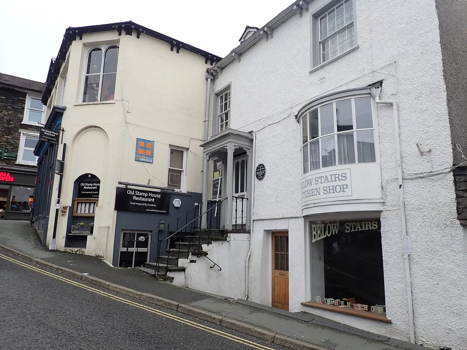
The Old Stamp House
Modern British, Ambleside, £££
Ryan Blackburn's Michelin-starred restaurant in Wordsworth's former office serves creative modern British food with a Cumbrian soul. The tasting menu is outstanding value, and the Lakeland ingredients shine.
Dodds Restaurant
Modern British, Ambleside, ££
A relaxed, long-running Italian restaurant on Rydal Road in Ambleside, serving lunch and dinner with a takeaway menu too.
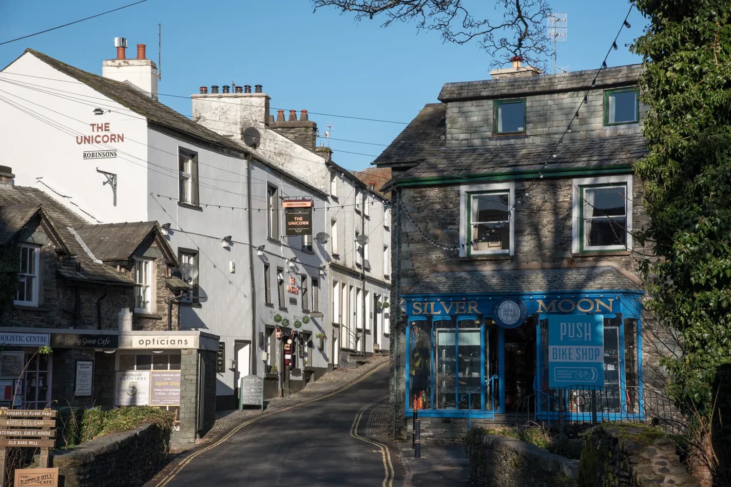
The Unicorn Inn
Traditional, Ambleside, £
A proper Ambleside local that doesn't try to be anything it isn't - good beer, good craic, good value.