Talkin Tarn circuit, near Brampton
A flat, hard-surfaced loop round the tarn at Talkin Tarn Country Park, with a tearoom at the boathouse. Good for wheelchairs, buggies and dogs.
- Distance
- 2.3 km
- 1.4 miles
- Ascent
- 7 m
- High point 143 m
- Time
- 30 minutes
- Walking time, no stops
- Grade
- Easy
- Circular
Take this walk with you
This route is on paths Google Maps knows, so the walking link follows it closely. The GPX is still the exact line. To see the line in Google Maps, open Google My Maps, create a map, choose Import and pick the KML file. It then appears in the Google Maps app under Saved, Maps.
Weather on this walk
Loading the forecast
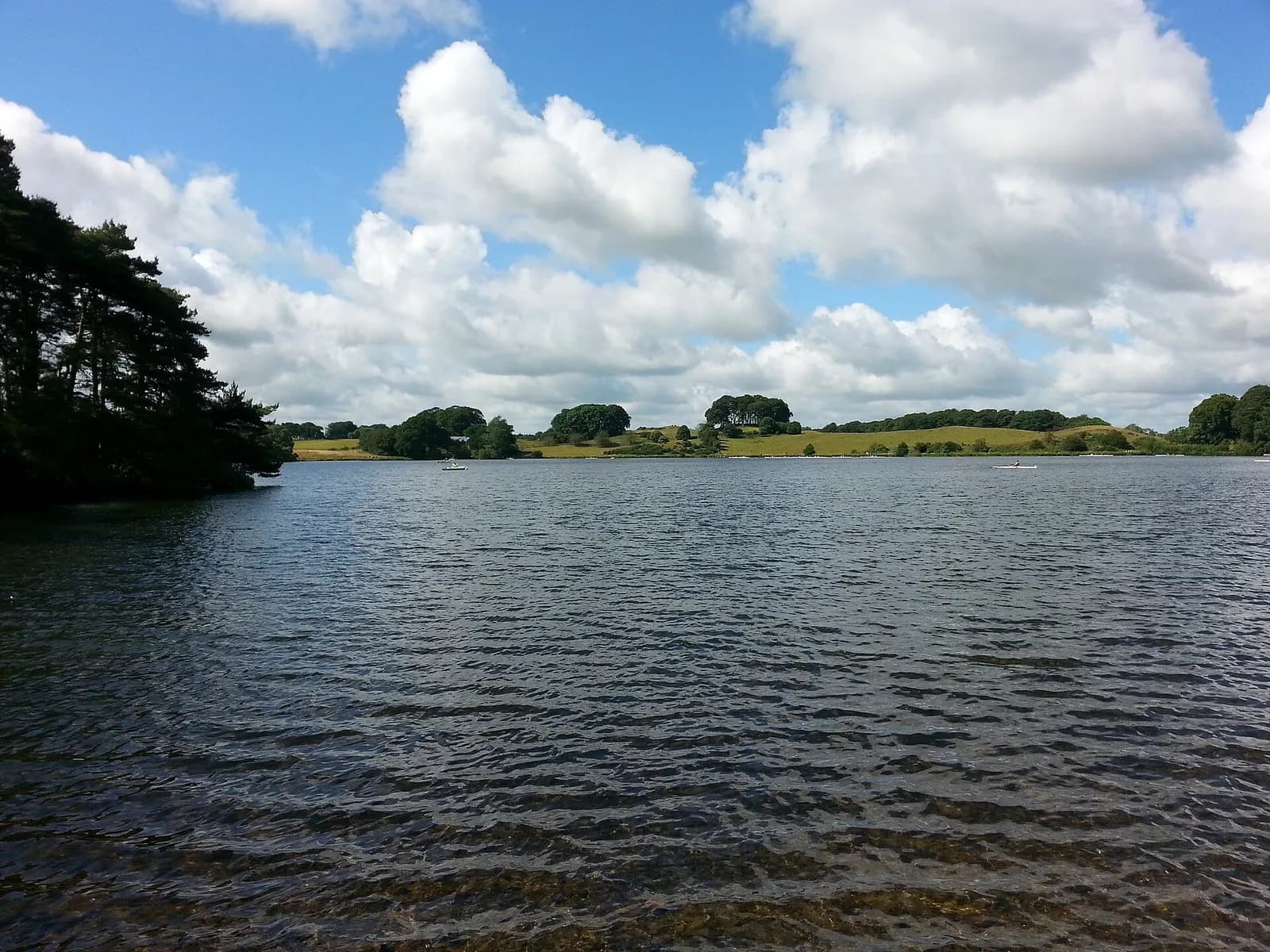
Talkin Tarn is the easy, reliable outing of the Carlisle and Brampton area: a natural tarn ringed by woodland and fields, with a single path running all the way round it close to the water. It is the kind of place locals use for a lap before lunch.
The path is hard surfaced and broadly level, so it works for wheelchairs, pushchairs and mobility scooters, with benches along the way. The rowing club's boathouse sits at the north end, and the tearoom is right by the car park.
If you want more, waymarked trails of different lengths head off from the car park into the woods and fields, though these are rougher than the tarn path.
The route
- 1
From the car park
Walk down from the car park past the boathouse and tearoom to the north shore of the tarn and turn left onto the path along the east side.
- 2
East shore
Follow the level path south along the eastern shore, through trees and past fields, with views across the water.
- 3
Tarn End
At the southern end, by the Tarn End car park, the path curves round and heads back north along the western shore.
- 4
Back to the boathouse
Continue along the west side to complete the loop at the boathouse and the car park.
Questions people ask
How far is the walk around Talkin Tarn?
About 1.3 miles (just over 2 km). Allow 45 minutes to an hour at a gentle pace.
Is Talkin Tarn wheelchair accessible?
Yes. The path round the tarn is hard surfaced and relatively level, and the car park is wheelchair accessible.
How much is parking at Talkin Tarn?
Cumberland Council lists £1.50 for up to an hour and £2.70 for over an hour, payable by cash, card, contactless or MiPermit. Check the council page for current charges.
Are dogs allowed at Talkin Tarn?
Yes, it is a popular dog walk. Clean up after your dog.
More walks nearby
Gelt Woods and Greenwell from Low Gelt Bridge
Moderate, 9.1 km, 204 m up, about 2 hours
Field paths over Watch Hill to Greenwell, then home through the wooded gorge of the River Gelt below the old Brampton quarries.
Lanercost Priory and Hadrian's Wall
Moderate, 6.7 km, 115 m up, about 1 hour 30 minutes
A gentle loop from Lanercost Priory up to the line of Hadrian's Wall at Hare Hill, west along the Wall and back beside the River Irthing.
Hadrian's Wall: Birdoswald to Willowford and Gilsland
Easy, 5.1 km, 78 m up, about 1 hour
The best short stretch of Hadrian's Wall in Cumbria: from Birdoswald fort over the Irthing to Willowford's wall and bridge, and on to Poltross Burn milecastle.