Gelt Woods and Greenwell from Low Gelt Bridge
Field paths over Watch Hill to Greenwell, then home through the wooded gorge of the River Gelt below the old Brampton quarries.
- Distance
- 9.1 km
- 5.7 miles
- Ascent
- 204 m
- High point 139 m
- Time
- 2 hours
- Walking time, no stops
- Grade
- Moderate
- Circular
Take this walk with you
Google Maps does not know most fell paths, so use it to get to the start, then follow the GPX in an app like OS Maps, Komoot or AllTrails. To see the line in Google Maps, open Google My Maps, create a map, choose Import and pick the KML file. It then appears in the Google Maps app under Saved, Maps.
Weather on this walk
Loading the forecast
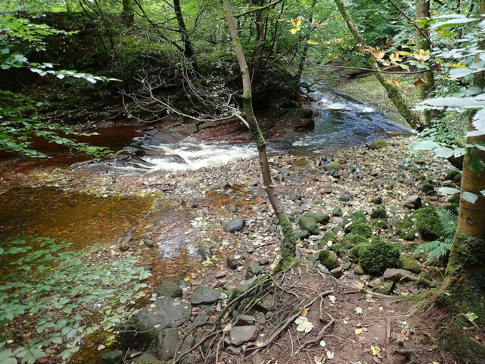
The River Gelt runs through a deep, wooded valley just south of Brampton, and Gelt Woods is one of the loveliest stretches of riverside woodland in the north of the county, and one of the quietest.
This loop warms up on open country first, following field paths past Watch Hill and Tow Top, crossing the railway and dropping to the hamlet of Greenwell. From the viaduct at Middle Gelt it turns into the woods and follows the river back downstream, past old quarry workings, river viewpoints and benches in quiet clearings.
It suits anyone happy with some mud and a few stiles. Bring binoculars: there are bird hides along the way.
The route
- 1
Out of Low Gelt
From the car park, cross the road bridge and turn left onto the cycle route, following the lane uphill past the quarry entrance. Just before the brow, turn left on the footpath signed to Tow Top.
- 2
Past the quarry
Go through the kissing gate and follow the field edge, then cross the quarry entrance road by the hand gates and follow the fenced path with the quarry on your right.
- 3
Watch Hill to Tow Top
Join the wider old way known as Thief Street and follow it with Watch Hill on your left, crossing a bridleway and continuing to Tow Top and down a farm track into Tootop Woods.
- 4
To Greenwell
At the lane, turn left for about 100 metres, then right on the bridleway to Greenwell over the railway bridge. Follow the field edges, cross the road and walk along the lane towards Greenwell.
- 5
Down to Middle Gelt
Just before Greenwell, take the footpath on the left to Middle Gelt Bridge, following the riverside path over flags and sleepers to the road by the viaduct. Pass under the viaduct and cross Gelt Bridge.
- 6
Through Gelt Woods
Go through the gates into Gelt Wood and follow the track nearest the river downstream to the bridge over Hell Beck, then climb the steps and follow the main track north through the woods, past the benches and viewpoints, back to Low Gelt Bridge.
Questions people ask
How long is the Gelt Woods walk?
The Eden Rivers Trust gives this loop via Greenwell as about 5 miles, taking around three hours.
Where do you park for Gelt Woods?
There is a small free car park at Low Gelt Bridge, just off the A69 south-west of Brampton, plus a lay-by at the Middle Gelt end of the woods.
Is Gelt Woods suitable for pushchairs?
The stretch from Low Gelt Bridge to Greenwell suits all-terrain pushchairs, but the path from Greenwell to Middle Gelt does not.
More walks nearby
Talkin Tarn circuit, near Brampton
Easy, 2.3 km, 7 m up, about 30 minutes
A flat, hard-surfaced loop round the tarn at Talkin Tarn Country Park, with a tearoom at the boathouse. Good for wheelchairs, buggies and dogs.
Lanercost Priory and Hadrian's Wall
Moderate, 6.7 km, 115 m up, about 1 hour 30 minutes
A gentle loop from Lanercost Priory up to the line of Hadrian's Wall at Hare Hill, west along the Wall and back beside the River Irthing.
Hadrian's Wall: Birdoswald to Willowford and Gilsland
Easy, 5.1 km, 78 m up, about 1 hour
The best short stretch of Hadrian's Wall in Cumbria: from Birdoswald fort over the Irthing to Willowford's wall and bridge, and on to Poltross Burn milecastle.