Lanercost Priory and Hadrian's Wall
A gentle loop from Lanercost Priory up to the line of Hadrian's Wall at Hare Hill, west along the Wall and back beside the River Irthing.
- Distance
- 6.7 km
- 4.2 miles
- Ascent
- 115 m
- High point 132 m
- Time
- 1 hour 30 minutes
- Walking time, no stops
- Grade
- Moderate
- Circular
Take this walk with you
Google Maps does not know most fell paths, so use it to get to the start, then follow the GPX in an app like OS Maps, Komoot or AllTrails. To see the line in Google Maps, open Google My Maps, create a map, choose Import and pick the KML file. It then appears in the Google Maps app under Saved, Maps.
Weather on this walk
Loading the forecast
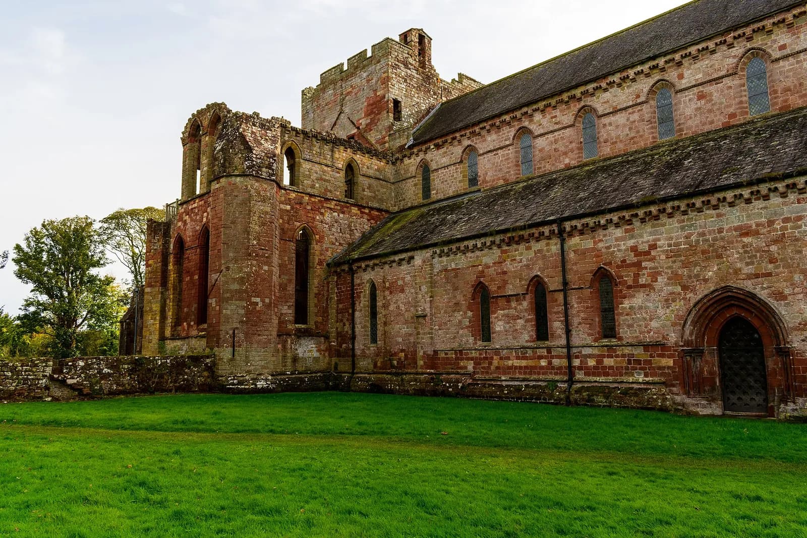
Lanercost is a lovely place to begin a walk: a medieval priory church still in use, its roofless chancel open to the sky, sitting in the meadows of the Irthing just south of Hadrian's Wall. The Wall itself runs along the ridge above, close enough to reach in a short climb.
This loop heads up through the fields to the remains at Hare Hill, then follows the Hadrian's Wall Path west past the sites of turrets and a milecastle. It returns by Burtholme and the river meadows, crossing back into Lanercost by the old bridge.
It is pastoral, unhurried walking with a modest climb. Leave time at the end for the priory and the tea room.
The route
- 1
Lanercost to the priory
From the roadside parking by Lanercost Bridge, walk up the lane to Lanercost Priory.
- 2
Up to Hare Hill
Continue north-east past the priory and climb by lane and field to Hare Hill on the line of Hadrian's Wall.
- 3
West along the Wall
Join the Hadrian's Wall Path and follow it west, passing the marked sites of Turret 53B, Milecastle 54 and Turret 54A.
- 4
Down to Burtholme
Leave the Wall and drop south to the hamlet of Burtholme.
- 5
Beside the Irthing
Follow the paths and lane east towards the River Irthing and back to Lanercost, crossing near the old bridge to finish.
Questions people ask
How long is the walk from Lanercost Priory to Hadrian's Wall?
This loop via Hare Hill and the river is about 4 miles. Longer versions continue east along the Wall to Banks or Birdoswald.
Where do you park at Lanercost?
There is free roadside parking near Lanercost Bridge. The priory's own car parks are for visitors.
Is Lanercost Priory free?
English Heritage manages the priory ruins and charges for entry. Check the English Heritage website for current prices and opening times.
More walks nearby
Talkin Tarn circuit, near Brampton
Easy, 2.3 km, 7 m up, about 30 minutes
A flat, hard-surfaced loop round the tarn at Talkin Tarn Country Park, with a tearoom at the boathouse. Good for wheelchairs, buggies and dogs.
Gelt Woods and Greenwell from Low Gelt Bridge
Moderate, 9.1 km, 204 m up, about 2 hours
Field paths over Watch Hill to Greenwell, then home through the wooded gorge of the River Gelt below the old Brampton quarries.
Hadrian's Wall: Birdoswald to Willowford and Gilsland
Easy, 5.1 km, 78 m up, about 1 hour
The best short stretch of Hadrian's Wall in Cumbria: from Birdoswald fort over the Irthing to Willowford's wall and bridge, and on to Poltross Burn milecastle.