Cartmel, Speel Bank and How Barrow
From Cartmel Priory and the racecourse through Park Wood to Speel Bank, south along the Ellerside ridge past How Barrow and back by the lanes.
- Distance
- 10.2 km
- 6.3 miles
- Ascent
- 195 m
- High point 168 m
- Time
- 2 hours 30 minutes
- Walking time, no stops
- Grade
- Moderate
- Circular
Take this walk with you
Google Maps does not know most fell paths, so use it to get to the start, then follow the GPX in an app like OS Maps, Komoot or AllTrails. To see the line in Google Maps, open Google My Maps, create a map, choose Import and pick the KML file. It then appears in the Google Maps app under Saved, Maps.
Weather on this walk
Loading the forecast
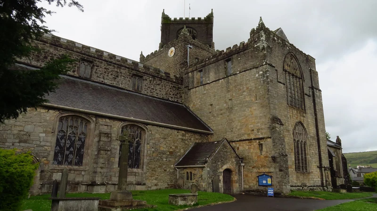
Cartmel is best known for its priory and its racecourse, but the low hills to the west are just as rewarding and far quieter. The ridge of Ellerside runs north to south above the Leven estuary, and from its top you look across the sands to Ulverston and up to the Lakeland fells.
This loop leaves the village by the priory and the racecourse, climbs through Park Wood and crosses farmland to Speel Bank, where a green lane leads up onto the ridge. It then follows Ellerside south past How Barrow before returning through woodland and quiet lanes to the village.
The climbs are short and the walking is varied, with plenty of stiles and gates. It is a good choice for a day when cloud is down on the higher fells.
The route
- 1
Priory and racecourse
From the racecourse car park, walk back into the village to see the priory, then return and cross the protective walkway over the racecourse into Park Wood.
- 2
Park Wood to Well Knowe
Climb steeply through the wood to a minor road, turn right, and take the track on the right past large white houses and a disused quarry. Look for the roundel waymarks and cross the fields north.
- 3
Wall Nook and Speel Bank
Pass the cottages at Wall Nook, cross into the fields, then follow the minor road left to Speel Bank and keep left on the track through the farm buildings.
- 4
Up to Ellerside
Keep right after the farm and follow the green lane between hazels. Climb the steep stile over the wall onto the ridge and turn left.
- 5
South past How Barrow
Follow the ridge south, passing a small wind turbine, and join the broad forest track. At the junction, follow the Cumbria Coastal Way past How Barrow and on through Low Scar woodland.
- 6
Back to Cartmel
Go through the deer gate onto the lane and follow it left through woodland and down past Bank Side farms back to the racecourse and the village.
Questions people ask
Where do you park in Cartmel for walking?
The racecourse car park is a paid car park close to the start. There is limited free roadside parking near the school at Headless Cross.
How long is the walk from Cartmel to Ellerside?
The Bentham Footpath Group's version of this loop is about 7.4 miles, with around 200 metres of climbing.
Is there a view from How Barrow?
Yes. The Ellerside ridge and How Barrow look over the Leven estuary to Ulverston and north to the Lakeland fells.
More walks nearby
Hampsfell Hospice from Grange-over-Sands
Moderate, 7.8 km, 362 m up, about 2 hours
Grange's own hill: through Eggerslack Wood to the 1846 Hospice on Hampsfell, with a rooftop view indicator and Morecambe Bay below.
Arnside Knott and the shore from Arnside
Moderate, 9.9 km, 286 m up, about 2 hours 30 minutes
Arnside's best walk: along the Kent estuary shore to Far Arnside, then up to the toposcope on Arnside Knott for a view over Morecambe Bay.
Gummer's How above Windermere
Easy, 2.0 km, 115 m up, about 30 minutes
The quickest big view of Windermere: a short climb from a free Forestry England car park to a trig point looking up the whole length of the lake.
Food, drink and beds near the start
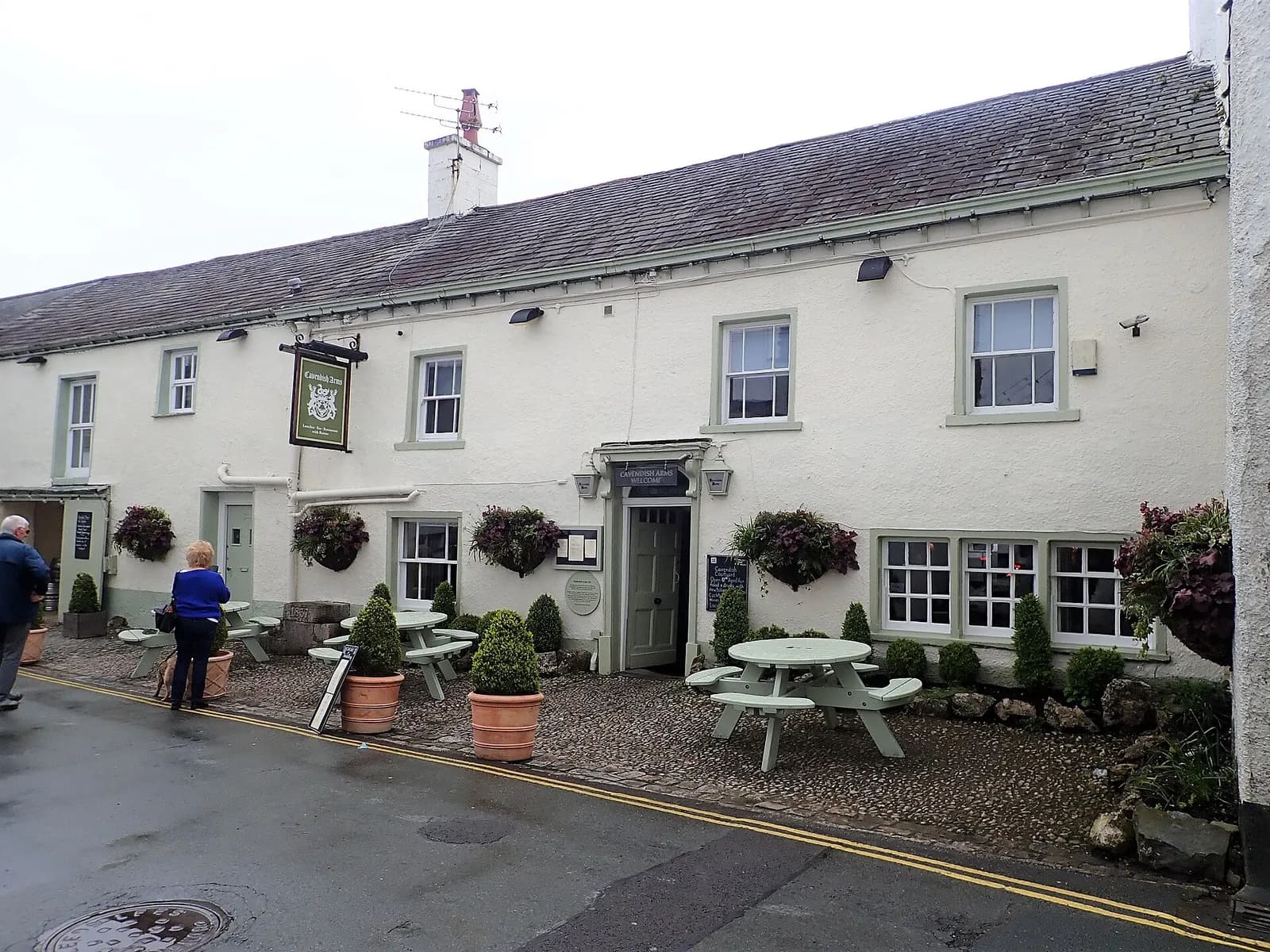
The Cavendish Arms
Traditional, Cartmel, ££
Cartmel's village pub sits in the shadow of the Priory and pours excellent local ales in a properly atmospheric setting.
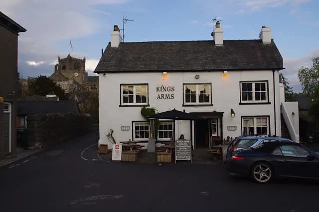
The Kings Arms Hotel
Traditional British, Cartmel, ££
A 500-year-old coaching inn in the historic village of Cartmel. Famous for its traditional atmosphere and connection to the nearby priory.
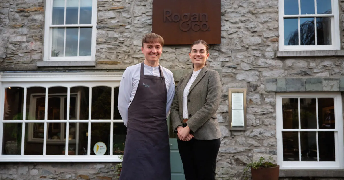
Rogan & Company
Modern British, Cartmel, £££
Simon Rogan's Michelin-starred neighbourhood restaurant on Devonshire Square brings L'Enclume's farm-led sourcing to a relaxed Cartmel dining room, with rooms in the village.
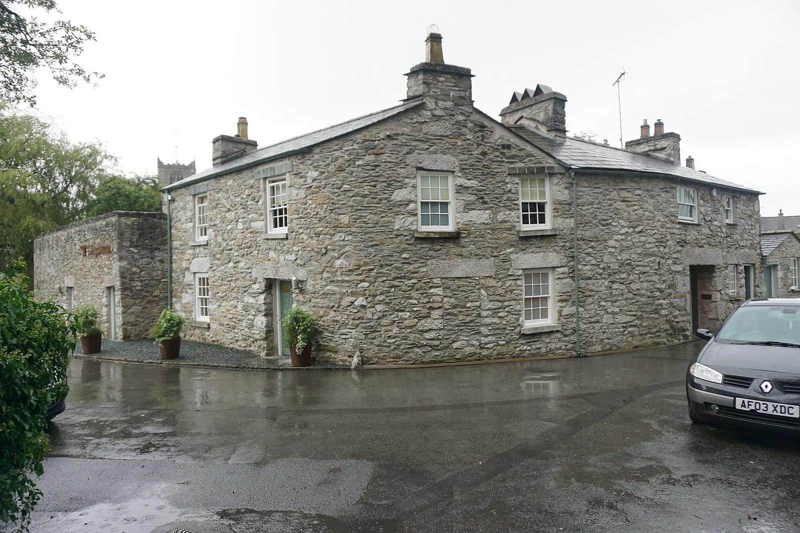
L'Enclume
Fine Dining, Cartmel, ££££
Simon Rogan's three-Michelin-starred restaurant in a former Cartmel smithy is one of the great tasting-menu experiences in Britain. Much of what reaches the table is grown on Our Farm, his own regenerative farm.