Arnside Knott and the shore from Arnside
Arnside's best walk: along the Kent estuary shore to Far Arnside, then up to the toposcope on Arnside Knott for a view over Morecambe Bay.
- Distance
- 9.9 km
- 6.2 miles
- Ascent
- 286 m
- High point 159 m
- Time
- 2 hours 30 minutes
- Walking time, no stops
- Grade
- Moderate
- Circular
Take this walk with you
Google Maps does not know most fell paths, so use it to get to the start, then follow the GPX in an app like OS Maps, Komoot or AllTrails. To see the line in Google Maps, open Google My Maps, create a map, choose Import and pick the KML file. It then appears in the Google Maps app under Saved, Maps.
Weather on this walk
Loading the forecast
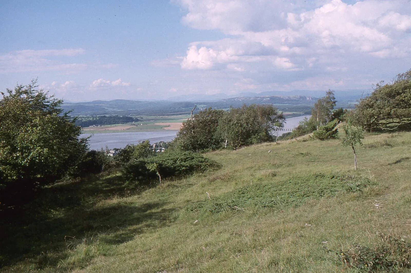
Arnside Knott is only a small limestone hill, but it stands at the meeting of the Kent estuary and Morecambe Bay, and the panorama from the top takes in the bay, the viaduct, the Lakeland fells and the Pennines in one turn. A bronze toposcope near the summit names what you are looking at.
This loop earns the view first. It leaves the promenade along the shore of the estuary, past the old coastguard station and round the wooded cliffs of Frith Wood to Far Arnside, then cuts inland past the ruins of Arnside Tower before climbing the Knott. The return drops through Red Hills Wood back to the village.
It is a half-day for families and anyone who likes coast and countryside in one walk. Expect mud in the woods and keep an eye on the tide along the shore.
The route
- 1
Along the estuary
From the promenade near the Albion pub, drop onto the shoreline path heading south past the old coastguard station, with the Kent estuary on your right.
- 2
Round to Far Arnside
Follow the beach or the clifftop path round Frith Wood to the caravan site at Far Arnside. If the tide is high, use the clifftop paths rather than the shore.
- 3
Arnside Tower
Walk through the caravan site, cross the Silverdale road and follow the public footpath signed towards the Knott across the fields. The ruin of Arnside Tower stands in the fields below Eaves Wood.
- 4
Up the Knott
Climb on gravel paths over the limestone to the summit, where a trig pillar sits among trees. The toposcope and the big view are at a clearing close by.
- 5
Down through Red Hills Wood
Descend north through Red Hills Wood on shaded tracks and return to the village and the promenade.
Questions people ask
How long is the Arnside Knott walk?
This shore and summit circuit is about five to six miles, depending on whether you use the beach or the clifftop paths, and takes around three hours.
Where do you park in Arnside?
There is free parking along the promenade and approach roads, but on busy days some spaces on the front are limited to one hour, so arrive early.
Is it safe to walk on the sands at Arnside?
No. Keep to the shoreline paths. The tide floods the bay quickly and there is quicksand.
More walks nearby
Hampsfell Hospice from Grange-over-Sands
Moderate, 7.8 km, 362 m up, about 2 hours
Grange's own hill: through Eggerslack Wood to the 1846 Hospice on Hampsfell, with a rooftop view indicator and Morecambe Bay below.
Cartmel, Speel Bank and How Barrow
Moderate, 10.2 km, 195 m up, about 2 hours 30 minutes
From Cartmel Priory and the racecourse through Park Wood to Speel Bank, south along the Ellerside ridge past How Barrow and back by the lanes.
Gummer's How above Windermere
Easy, 2.0 km, 115 m up, about 30 minutes
The quickest big view of Windermere: a short climb from a free Forestry England car park to a trig point looking up the whole length of the lake.