Gummer's How above Windermere
The quickest big view of Windermere: a short climb from a free Forestry England car park to a trig point looking up the whole length of the lake.
- Distance
- 2.0 km
- 1.2 miles
- Ascent
- 115 m
- High point 318 m
- Time
- 30 minutes
- Walking time, no stops
- Grade
- Easy
- There and back
Take this walk with you
Google Maps does not know most fell paths, so use it to get to the start, then follow the GPX in an app like OS Maps, Komoot or AllTrails. To see the line in Google Maps, open Google My Maps, create a map, choose Import and pick the KML file. It then appears in the Google Maps app under Saved, Maps.
Weather on this walk
Loading the forecast
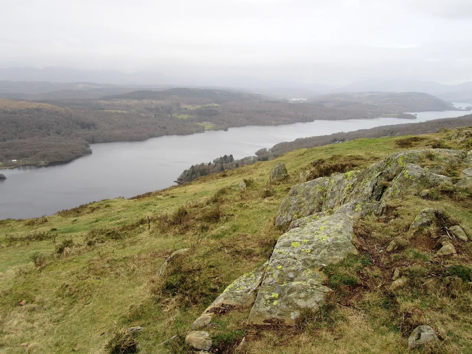
Gummer's How is the little fell at the southern end of Windermere, and it punches far above its 321 metres. From the trig point you look straight up the length of the lake towards the Langdale Pikes, with the low end of Windermere and the Finsthwaite heights spread out below.
Because the free car park is already well up the hillside, the climb is short: only about 130 metres of ascent on a good path through scattered woodland, with a few easy rocky steps near the top. It is the ideal fell for small children, a first summit, or a sunset when you do not have much time.
For the descent, the lakeside path below the summit gives even better views before rejoining the way up.
The route
- 1
Up the road to the path
From the car park walk about 100 metres up the road to the signed path on the left. This is easier than following the sign directly from the car park.
- 2
Through the trees
The path climbs gently through scattered woodland, then more steeply up a few easy rocky steps onto flatter ground.
- 3
The summit
Continue to the stone trig point on the top of Gummer's How for the view up Windermere.
- 4
Down
Return the way you came, or take the path on the lake side of the summit for better views; it rejoins the outward path lower down.
Questions people ask
How long does it take to climb Gummer's How?
About an hour for the round trip of roughly 2 km, and around 20 minutes to the top at an easy pace.
Is parking free at Gummer's How?
The Forestry England car park on the Fell Foot Brow road has been free, but it is small and fills quickly.
How high is Gummer's How?
321 metres, only about 130 metres above the car park.
More walks nearby
Carron Crag trail, Grizedale Forest
Moderate, 8.3 km, 257 m up, about 2 hours
Grizedale's purple waymarked trail from the visitor centre to Carron Crag, the forest's highest point, with views to the Coniston fells.
Brant Fell from Bowness
Easy, 5.6 km, 175 m up, about 1 hour 30 minutes
A short loop from Bowness over Post Knott to the rocky top of Brant Fell, with one of the best views over Windermere, returning on the Dales Way.
Cartmel, Speel Bank and How Barrow
Moderate, 10.2 km, 195 m up, about 2 hours 30 minutes
From Cartmel Priory and the racecourse through Park Wood to Speel Bank, south along the Ellerside ridge past How Barrow and back by the lanes.
Food, drink and beds near the start
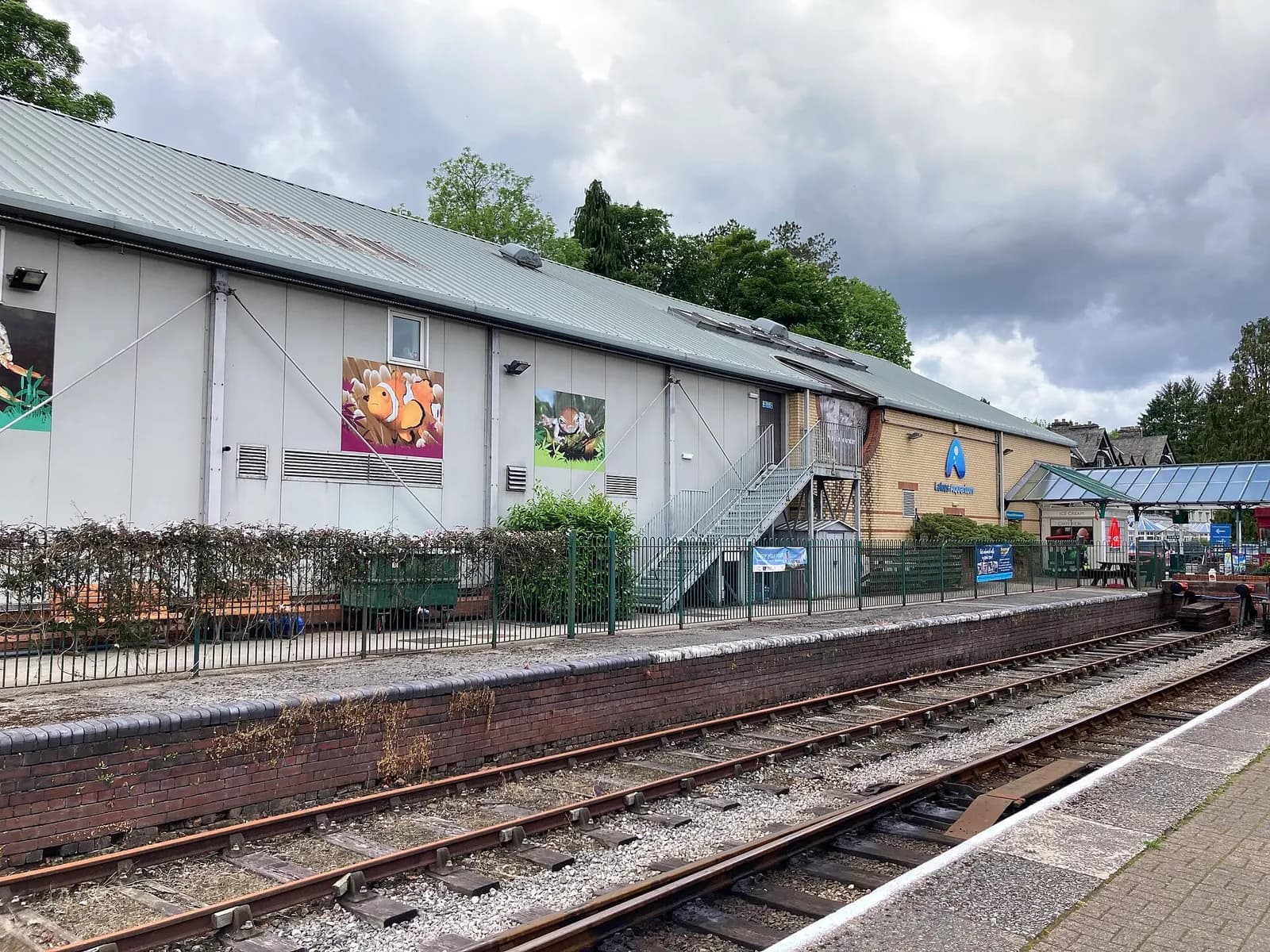
Lakes Aquarium
Family Attraction, Lakeside, ££
A journey from mountain stream to ocean floor at the southern tip of Windermere. The otter feeding is a highlight for all ages.
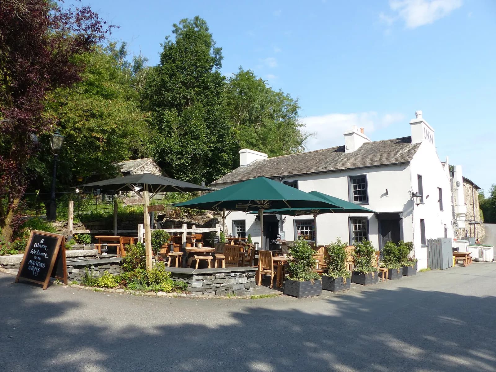
The Masons Arms
Country Pub, Cartmel Fell, ££, dogs welcome
Perched on Strawberry Bank with views over the Winster Valley that justify the winding single-track approach.