Carron Crag trail, Grizedale Forest
Grizedale's purple waymarked trail from the visitor centre to Carron Crag, the forest's highest point, with views to the Coniston fells.
- Distance
- 8.3 km
- 5.2 miles
- Ascent
- 257 m
- High point 309 m
- Time
- 2 hours
- Walking time, no stops
- Grade
- Moderate
- Circular
Take this walk with you
Google Maps does not know most fell paths, so use it to get to the start, then follow the GPX in an app like OS Maps, Komoot or AllTrails. To see the line in Google Maps, open Google My Maps, create a map, choose Import and pick the KML file. It then appears in the Google Maps app under Saved, Maps.
Weather on this walk
Loading the forecast
Grizedale Forest fills the low hills between Coniston Water and Windermere. Its walking trails are waymarked from the visitor centre, and the Carron Crag trail is the one that gets you above the canopy.
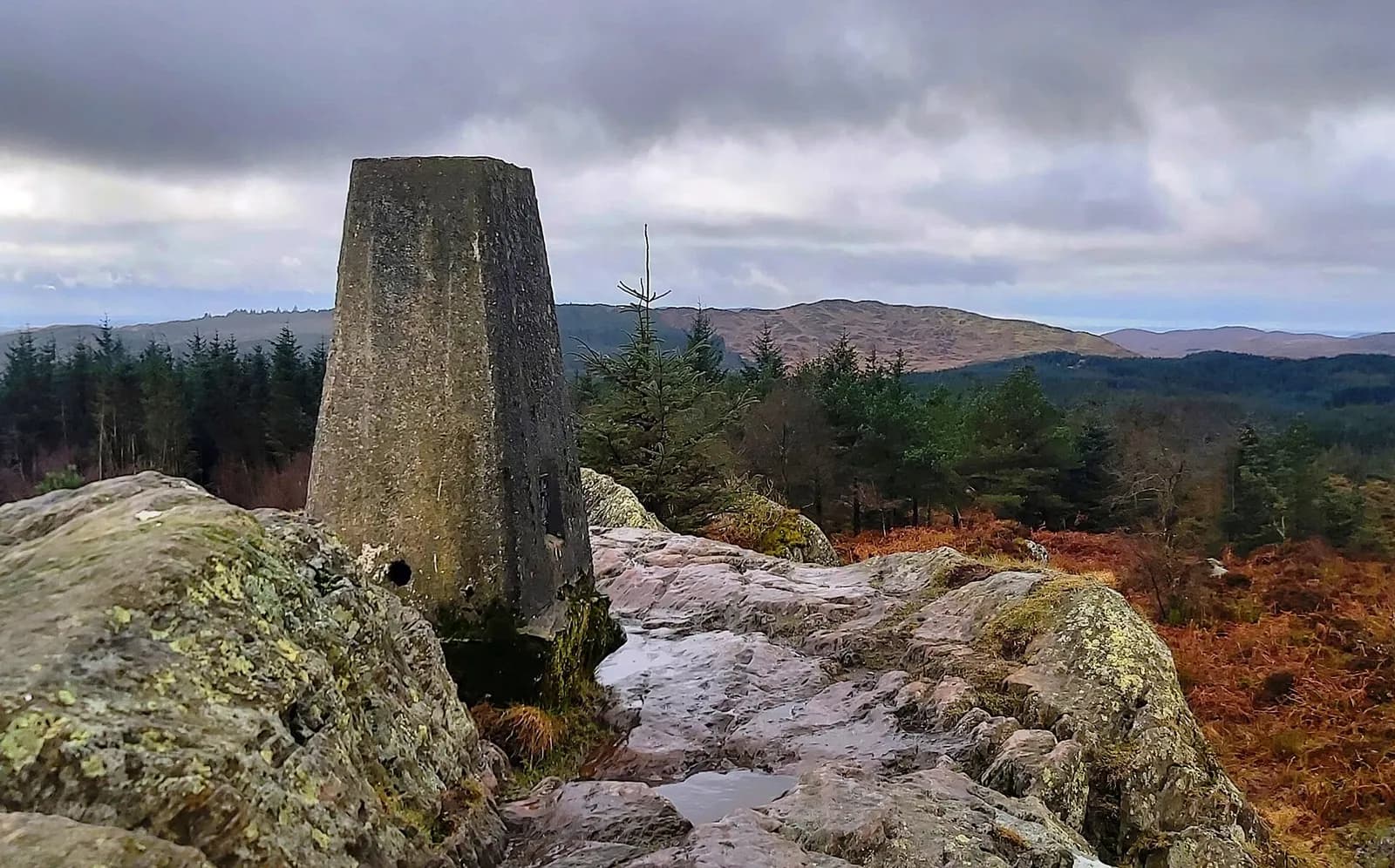
The purple route heads north through the forest from the visitor centre, loops round on forest tracks and then climbs to Carron Crag, a rocky knoll with a trig point. From the top the view opens across to Coniston Old Man and the central fells. The return drops back through the trees to the valley at Grizedale.
Forestry England calls it a strenuous walk, mainly because of the climb to the top and some wet, muddy ground. Follow the purple waymarkers and you will not go far wrong.
The route
- 1
From the visitor centre
From the visitor centre car park, pick up the purple waymarkers and follow the path north from the centre, climbing through the forest above the road.
- 2
North through the forest
Follow the waymarked path and then forest tracks as the trail swings round in a wide loop through the plantations.
- 3
Turning south
At the northern end of the loop, follow the forest track as it heads back south-west along the hillside.
- 4
Carron Crag
Leave the track where waymarked and climb to the rocky top of Carron Crag, where the trig point stands. Take in the view west to the Coniston fells.
- 5
Back to Grizedale
Descend south from the summit to the forest tracks, then follow the waymarkers east back down to the visitor centre.
Questions people ask
How long is the Carron Crag trail?
Forestry England's current trail map gives it as 8 km (5 miles), taking about three hours.
What colour is the Carron Crag trail?
It is waymarked in purple from the Grizedale visitor centre.
How much is parking at Grizedale Forest?
The main car park is pay on exit, with the first 20 minutes free and a daily maximum charge. Forestry England and Grizedale members park free. See Forestry England for current prices.
What is the highest point in Grizedale Forest?
Carron Crag, at 314 metres, according to Forestry England.
More walks nearby
The Old Man of Coniston via the Coppermines and Walna Scar
Hard, 11.7 km, 772 m up, about 3 hours 30 minutes
Coniston's mountain by its most interesting line: up through the old copper and slate workings to Low Water and the summit, down by Goat's Water and Walna Scar.
Tarn Hows circular walk
Easy, 3.0 km, 38 m up, about 30 minutes
An easy loop on a good path around Tarn Hows, the wooded tarn between Coniston and Hawkshead with the Langdale and Coniston fells behind.
Brant Fell from Bowness
Easy, 5.6 km, 175 m up, about 1 hour 30 minutes
A short loop from Bowness over Post Knott to the rocky top of Brant Fell, with one of the best views over Windermere, returning on the Dales Way.
Food, drink and beds near the start
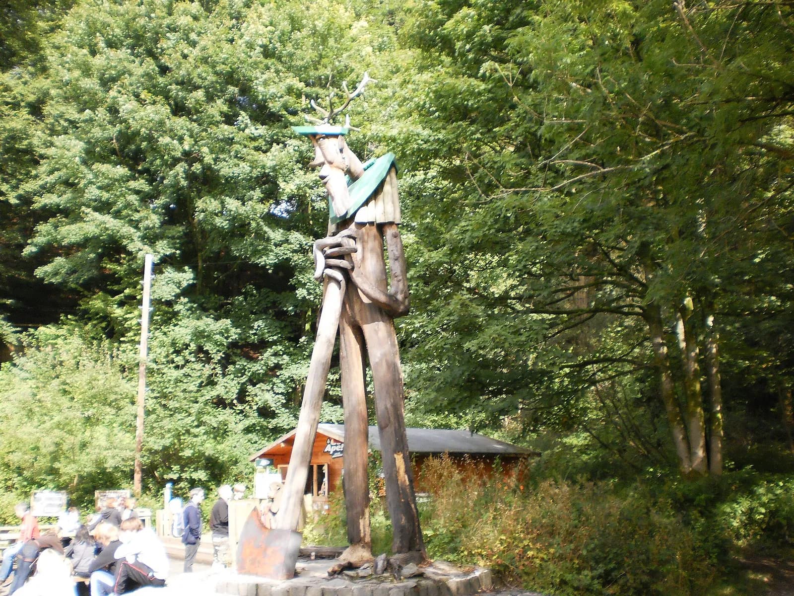
Grizedale Forest
Outdoor Adventure, Hawkshead, £, dogs welcome
Mountain biking, Go Ape, sculpture trails and walking routes through ancient woodland between Coniston and Windermere.
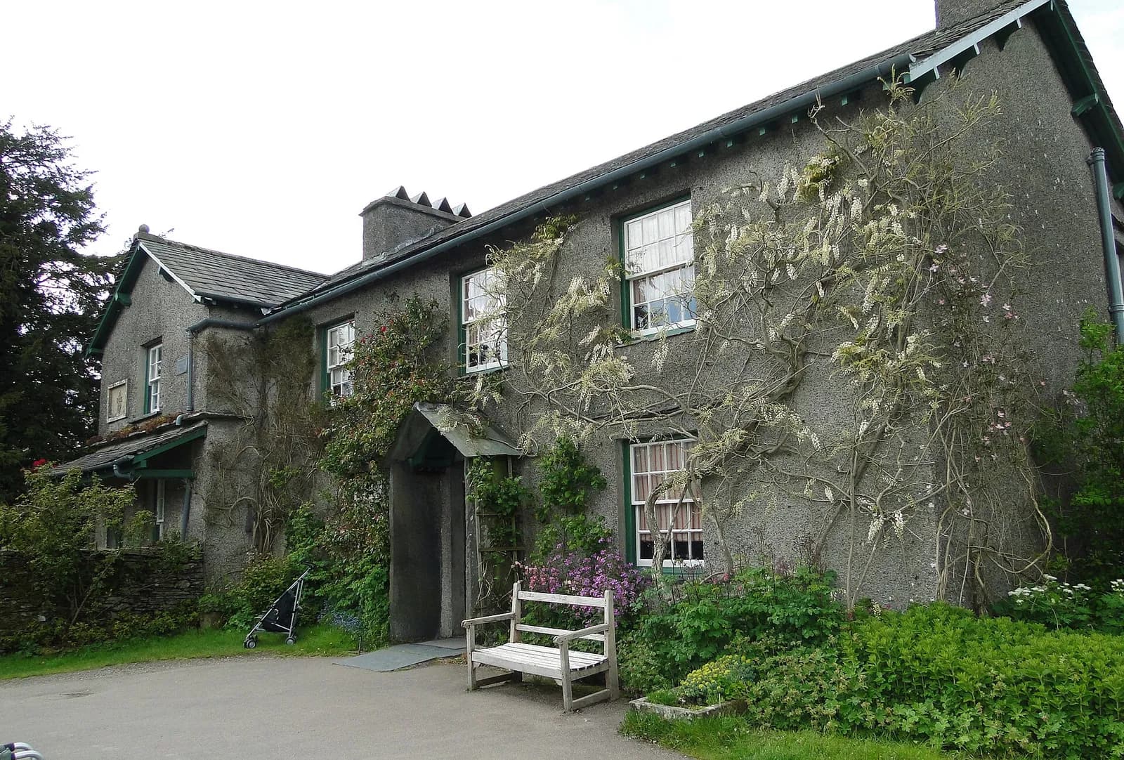
Hill Top - Beatrix Potter
Heritage, Near Sawrey, ££
Beatrix Potter's beloved farmhouse preserved exactly as she left it, with her garden still blooming. Pure Lake District charm.
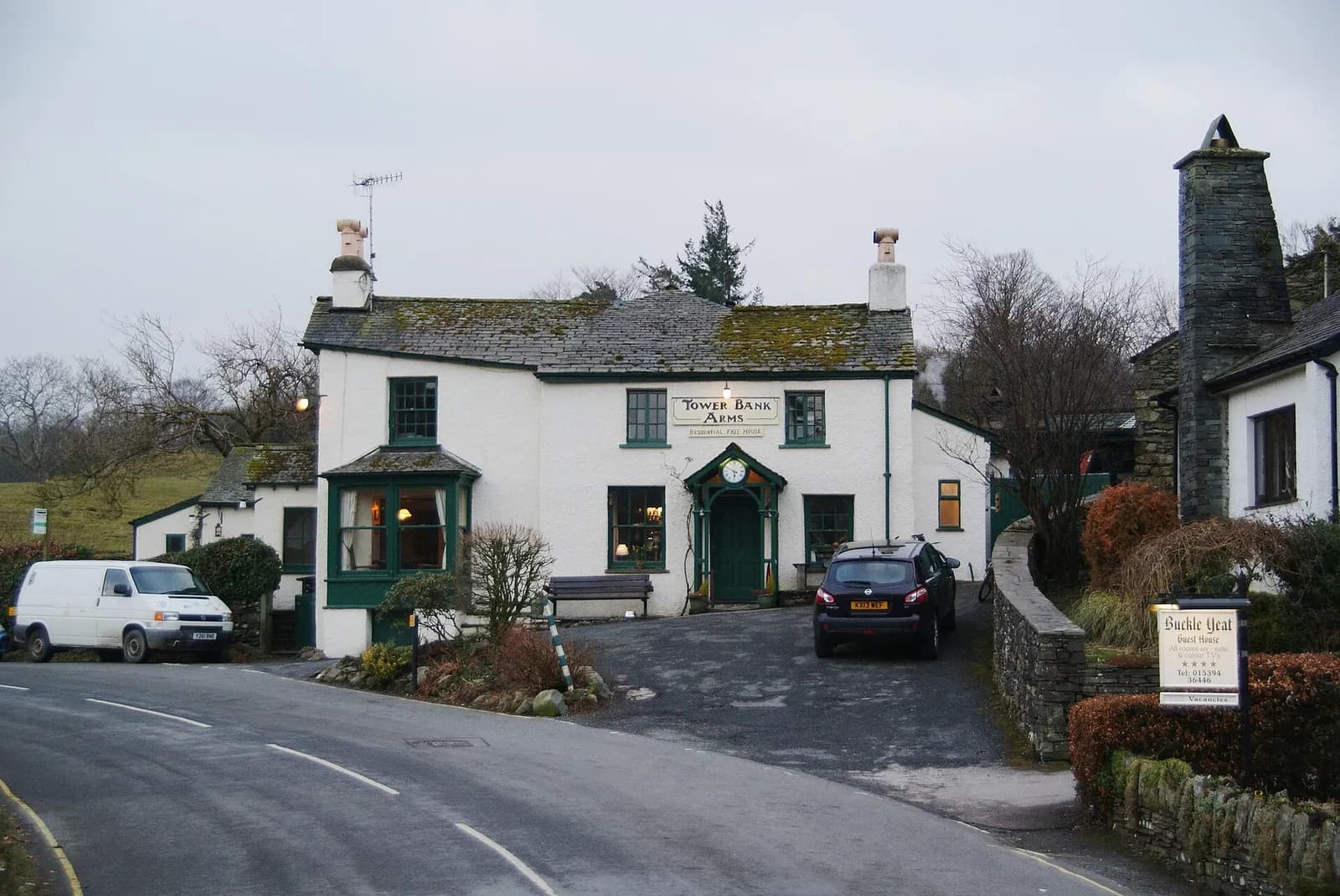
The Tower Bank Arms
Traditional, Near Sawrey, ££, dogs welcome
The pub immortalised in Beatrix Potter illustrations, next door to Hill Top. A charming National Trust village local.
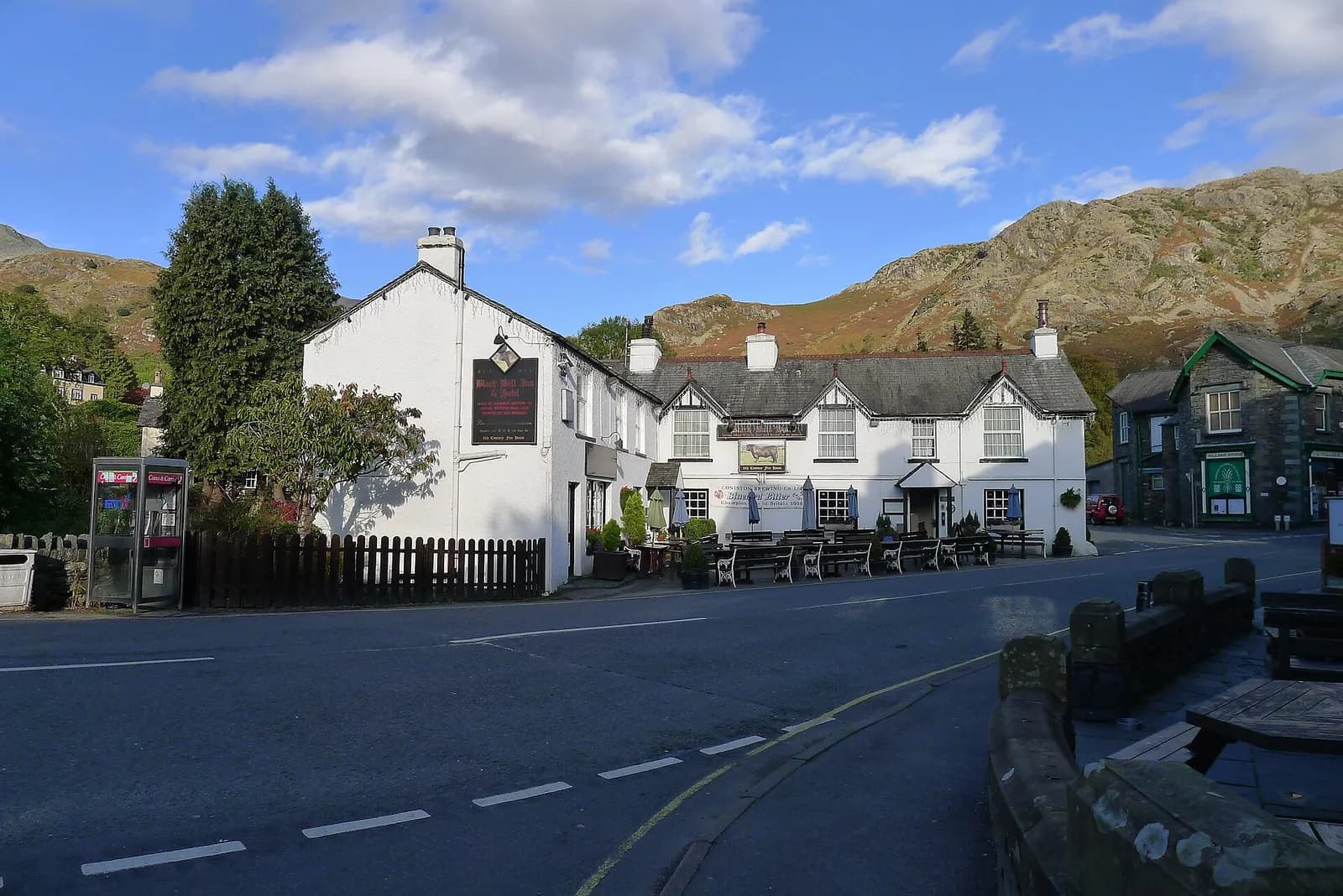
The Black Bull
Traditional, Coniston, £, dogs welcome
Home of Coniston Brewing Co and their legendary Bluebird Bitter. A proper village local with world-class ales.
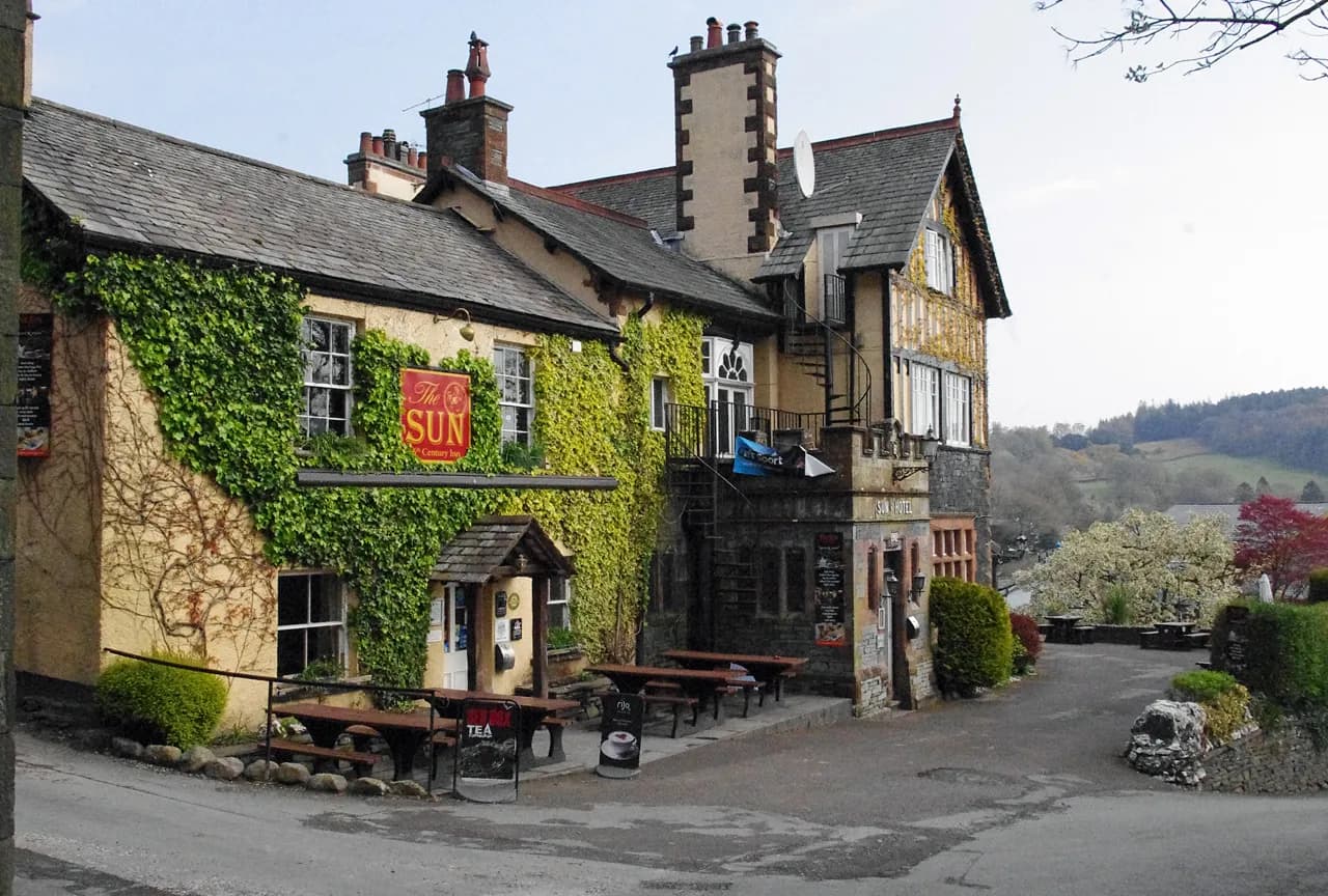
The Sun Inn Coniston
Traditional, Coniston, £
A 16th-century Coniston inn with Donald Campbell memorabilia on the walls and proper Lakeland character throughout.