Howgills and Westmorland Dales
Rounded, grassy fells and limestone dales in Cumbria's south east: Sedbergh, Orton and the Lune valley down to Kirkby Lonsdale.
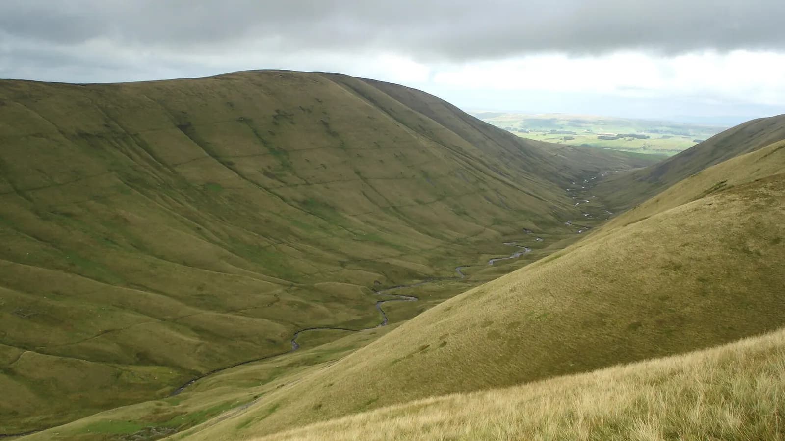
This is Cumbria's south eastern corner, where the Lake District gives way to the Yorkshire Dales. On this site it covers the Howgill Fells, Sedbergh at their foot, the limestone upland around Orton, the Kirkby Stephen side of the hills, and the Lune valley south to Kirkby Lonsdale. Sedbergh was historically in the West Riding of Yorkshire but is firmly in Cumbria, in Westmorland and Furness, and it lies inside the Yorkshire Dales National Park.
The Howgills are unlike any other Cumbrian hills: smooth, steep, grassy domes cut by deep valleys, with almost no walls or fences on the tops. Cautley Spout pours off their eastern flank. The Westmorland Dales around Orton are limestone pavement, scars and wide views. Sedbergh is England's book town, and Kirkby Lonsdale has the Devil's Bridge over the Lune. The Lune gorge at Tebay, where the M6 and the railway squeeze between the Howgills and Shap Fell, is one of the most dramatic pieces of road in England, and the minor roads around Ravenstonedale and Orton are perfect for cycling.
It is the place for big, quiet walking without the Lake District crowds, and for unhurried market towns. It is also easy to reach from the M6, which runs straight through the Lune gorge.
The Howgills are featureless in mist and navigation is genuinely hard, so take a map and compass and know how to use them. Buses are sparse and mostly community run, so plan around a car or a careful look at the timetables.
Walks in Howgills and Westmorland Dales
All walks in Howgills and Westmorland DalesCautley Spout and The Calf from the Cross Keys
Hard, 10.4 km, 593 m up, about 3 hours
England's highest cascade above ground, climbed beside its falls, then a round of the Howgills' high tops by Cautley Crag and The Calf.
Kirkby Lonsdale, Devil's Bridge and Ruskin's View
Easy, 2.2 km, 47 m up, about 30 minutes
A short loop from the medieval Devil's Bridge into Kirkby Lonsdale, to Ruskin's View over the Lune, and back along the river.
Smardale Gill Viaduct from Smardale
Easy, 4.8 km, 34 m up, about 1 hour
A level walk along an old railway through a Cumbria Wildlife Trust reserve to the tall stone viaduct over Scandal Beck.
The Calf from Sedbergh
Mountain, 11.5 km, 692 m up, about 3 hours 30 minutes
The roof of the Howgills straight from Sedbergh: up Settlebeck Gill and over Arant Haw and Calders to the white trig point on The Calf.
Wild Boar Fell and Swarth Fell from Mallerstang
Hard, 13.6 km, 574 m up, about 3 hours 30 minutes
The great prow above Mallerstang, climbed from the head of the dale near Aisgill and linked with Swarth Fell for a fine high circuit.
Towns, villages and lakes in Howgills and Westmorland Dales
- Kirkby Lonsdale
A handsome Lune valley market town with the medieval Devil's Bridge, Ruskin's View and a Thursday market, on the edge of the Dales.
- Sedbergh
England's book town, under the Howgill Fells in the Yorkshire Dales National Park but firmly in Cumbria, with a Wednesday market.