Wild Boar Fell and Swarth Fell from Mallerstang
The great prow above Mallerstang, climbed from the head of the dale near Aisgill and linked with Swarth Fell for a fine high circuit.
- Distance
- 13.6 km
- 8.5 miles
- Ascent
- 574 m
- High point 708 m
- Time
- 3 hours 30 minutes
- Walking time, no stops
- Grade
- Hard
- Circular
Take this walk with you
Google Maps does not know most fell paths, so use it to get to the start, then follow the GPX in an app like OS Maps, Komoot or AllTrails. To see the line in Google Maps, open Google My Maps, create a map, choose Import and pick the KML file. It then appears in the Google Maps app under Saved, Maps.
Weather on this walk
Loading the forecast
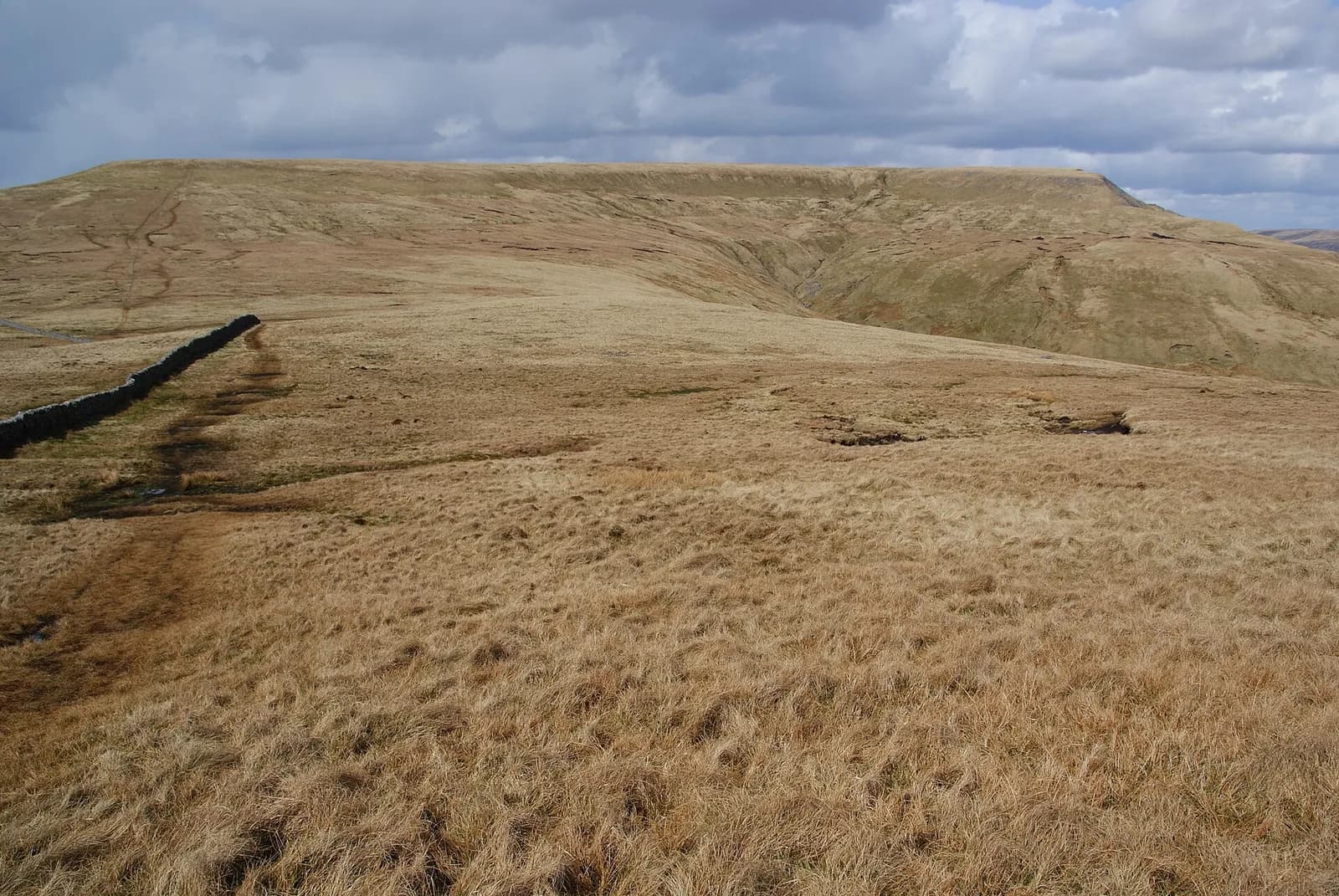
Wild Boar Fell is the fell that drivers on the road up Mallerstang keep glancing at: a long, flat-topped ridge that ends in a steep prow above the valley. It has a wild, empty feel, and from its edge you look down on the Settle to Carlisle railway threading along the dale far below.
This circuit starts from the roadside near Cotegill Bridge at the head of Mallerstang. It passes under the railway near Aisgill and climbs past limestone pavement to High Dolphinsty, then follows the eastern edge of the fell south to the summit plateau and its tall stone pillars. The return crosses The Band to Swarth Fell before dropping down beside Far Cote Gill.
Paths are faint in places and the plateau can be wet, so this is a walk for people comfortable finding their own way on open fell. In clear weather it is one of the finest days in the Westmorland Dales.
The route
- 1
Under the railway
From the roadside parking near Cotegill Bridge, walk north along the road over the railway towards Aisgill. Just past the house below the viaduct, take the rough track on the left that passes under the viaduct and follows a wall.
- 2
To High Dolphinsty
Follow the faint path north-north-west across the hillside, past limestone pavement, to the bridleway at High Dolphinsty.
- 3
Along the edge
Turn left onto the path along the eastern edge of the north ridge and head south, staying near the edge past the line of stone pillars.
- 4
Wild Boar Fell summit
From the shelter cairn on the edge, cross the plateau to the trig point inside a shelter cairn, the true summit. Skirt around the boggiest ground.
- 5
The Band to Swarth Fell
Return towards the pillars, cross the stile and follow the edge before heading down The Band to a wet col with a small tarn. Climb beside the wall to the top of Swarth Fell.
- 6
Down by Far Cote Gill
Continue south along the crest, then turn east-north-east into the head of Far Cote Gill. Descend the steep grass with the gill on your right and go through a gate back onto the road near the start.
Questions people ask
How long is the Wild Boar Fell walk from Mallerstang?
This circuit with Swarth Fell is about 13 km and most people take around five hours.
Where do you park for Wild Boar Fell?
There is limited roadside parking near Cotegill Bridge on the B6259, at the head of Mallerstang between the Moorcock Inn and Kirkby Stephen. Arrive early at busy times.
How high is Wild Boar Fell?
OpenStreetMap records the summit trig point at about 708 metres.
Is Wild Boar Fell hard to walk?
It is not technical, but paths are faint, the top is boggy and you need to navigate confidently, especially in poor visibility.
More walks nearby
Cautley Spout and The Calf from the Cross Keys
Hard, 10.4 km, 593 m up, about 3 hours
England's highest cascade above ground, climbed beside its falls, then a round of the Howgills' high tops by Cautley Crag and The Calf.
Smardale Gill Viaduct from Smardale
Easy, 4.8 km, 34 m up, about 1 hour
A level walk along an old railway through a Cumbria Wildlife Trust reserve to the tall stone viaduct over Scandal Beck.
Nine Standards Rigg from Kirkby Stephen
Hard, 17.5 km, 555 m up, about 4 hours 30 minutes
Kirkby Stephen's skyline cairns, reached by the Coast to Coast path over Hartley Fell and home through Ladthwaite and the old railway viaducts.