Cautley Spout and The Calf from the Cross Keys
England's highest cascade above ground, climbed beside its falls, then a round of the Howgills' high tops by Cautley Crag and The Calf.
- Distance
- 10.4 km
- 6.5 miles
- Ascent
- 593 m
- High point 676 m
- Time
- 3 hours
- Walking time, no stops
- Grade
- Hard
- Circular
Take this walk with you
Google Maps does not know most fell paths, so use it to get to the start, then follow the GPX in an app like OS Maps, Komoot or AllTrails. To see the line in Google Maps, open Google My Maps, create a map, choose Import and pick the KML file. It then appears in the Google Maps app under Saved, Maps.
Weather on this walk
Loading the forecast
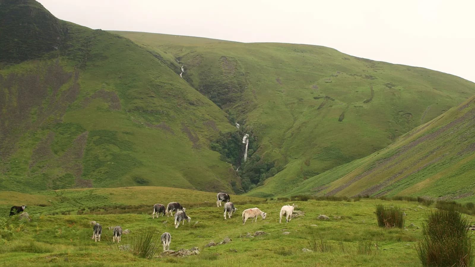
Cautley Spout is the reason most people stop at the Cross Keys. The water drops in a long chain of falls down a cleft in the eastern wall of the Howgills, with the dark face of Cautley Crag running alongside for well over a kilometre. From the valley floor it looks like a fine short stroll, and for many people that is enough.
This route keeps going. It climbs the steep path beside the falls, follows the rim of Cautley Crag to Great Dummacks, then strings together Calders, Bram Rigg Top and The Calf, the highest point of the range. The way home drops to the quiet col at Bowderdale Head and returns down the valley you walked up, with the falls in front of you the whole way.
It is a proper hill day on big, rounded grass fells where paths come and go. Confident walkers who can use a compass will love it. Anyone else should settle for the valley walk to the foot of the falls and back, which is one of the best short walks in this corner of Cumbria.
The route
- 1
Across the Rawthey
From the roadside parking by the Cross Keys, take the signed path down to the footbridge over the River Rawthey and turn left along the far bank.
- 2
Up the valley
Where Cautley Holme Beck comes in from the right, follow its east side up the valley. Cautley Crag rises on your left and an information board marks the remains of an Iron Age settlement on the way.
- 3
Beside the falls
At the foot of Cautley Spout, climb the rough, steep path that zigzags up the right-hand side of the falls. Take your time here and keep well back from the gill.
- 4
Along Cautley Crag
Above the falls, bear left and follow the high ground along the top of Cautley Crag, keeping a safe distance from the edge, to the summit of Great Dummacks.
- 5
Calders to The Calf
Head west to Calders and join the main ridge path. Turn right and follow it north over Bram Rigg Top to the trig point on The Calf.
- 6
Down to Bowderdale Head
From The Calf, take the path heading north-east and descend to the broad col at Bowderdale Head, the low point between the head of Bowderdale and the Cautley valley.
- 7
Back down the valley
Turn right and follow the path down the valley past the foot of Cautley Spout, retracing your outward route along the beck and the Rawthey to the footbridge and the Cross Keys.
Questions people ask
How high is Cautley Spout?
Visit Sedbergh gives it as about 200 metres (650 feet), and describes it as England's highest waterfall above ground.
Where do you park for Cautley Spout?
There is a small roadside lay-by just past the Cross Keys Temperance Inn on the A683, about 7 km from Sedbergh. Space is very limited, so do not block the road if it is full.
Is there an easier walk to Cautley Spout?
Yes. Follow the valley path from the Cross Keys to the foot of the falls and come back the same way. Visit Sedbergh puts this at about 4 km on good paths with little climbing.
Can you walk from Cautley Spout to The Calf?
Yes. This route climbs beside the falls and reaches The Calf by the ridge over Great Dummacks and Calders, then returns via Bowderdale Head.
More walks nearby
The Calf from Sedbergh
Mountain, 11.5 km, 692 m up, about 3 hours 30 minutes
The roof of the Howgills straight from Sedbergh: up Settlebeck Gill and over Arant Haw and Calders to the white trig point on The Calf.
Wild Boar Fell and Swarth Fell from Mallerstang
Hard, 13.6 km, 574 m up, about 3 hours 30 minutes
The great prow above Mallerstang, climbed from the head of the dale near Aisgill and linked with Swarth Fell for a fine high circuit.
Smardale Gill Viaduct from Smardale
Easy, 4.8 km, 34 m up, about 1 hour
A level walk along an old railway through a Cumbria Wildlife Trust reserve to the tall stone viaduct over Scandal Beck.