The Calf from Sedbergh
The roof of the Howgills straight from Sedbergh: up Settlebeck Gill and over Arant Haw and Calders to the white trig point on The Calf.
- Distance
- 11.5 km
- 7.1 miles
- Ascent
- 692 m
- High point 676 m
- Time
- 3 hours 30 minutes
- Walking time, no stops
- Grade
- Mountain
- There and back
Take this walk with you
Google Maps does not know most fell paths, so use it to get to the start, then follow the GPX in an app like OS Maps, Komoot or AllTrails. To see the line in Google Maps, open Google My Maps, create a map, choose Import and pick the KML file. It then appears in the Google Maps app under Saved, Maps.
Weather on this walk
Loading the forecast
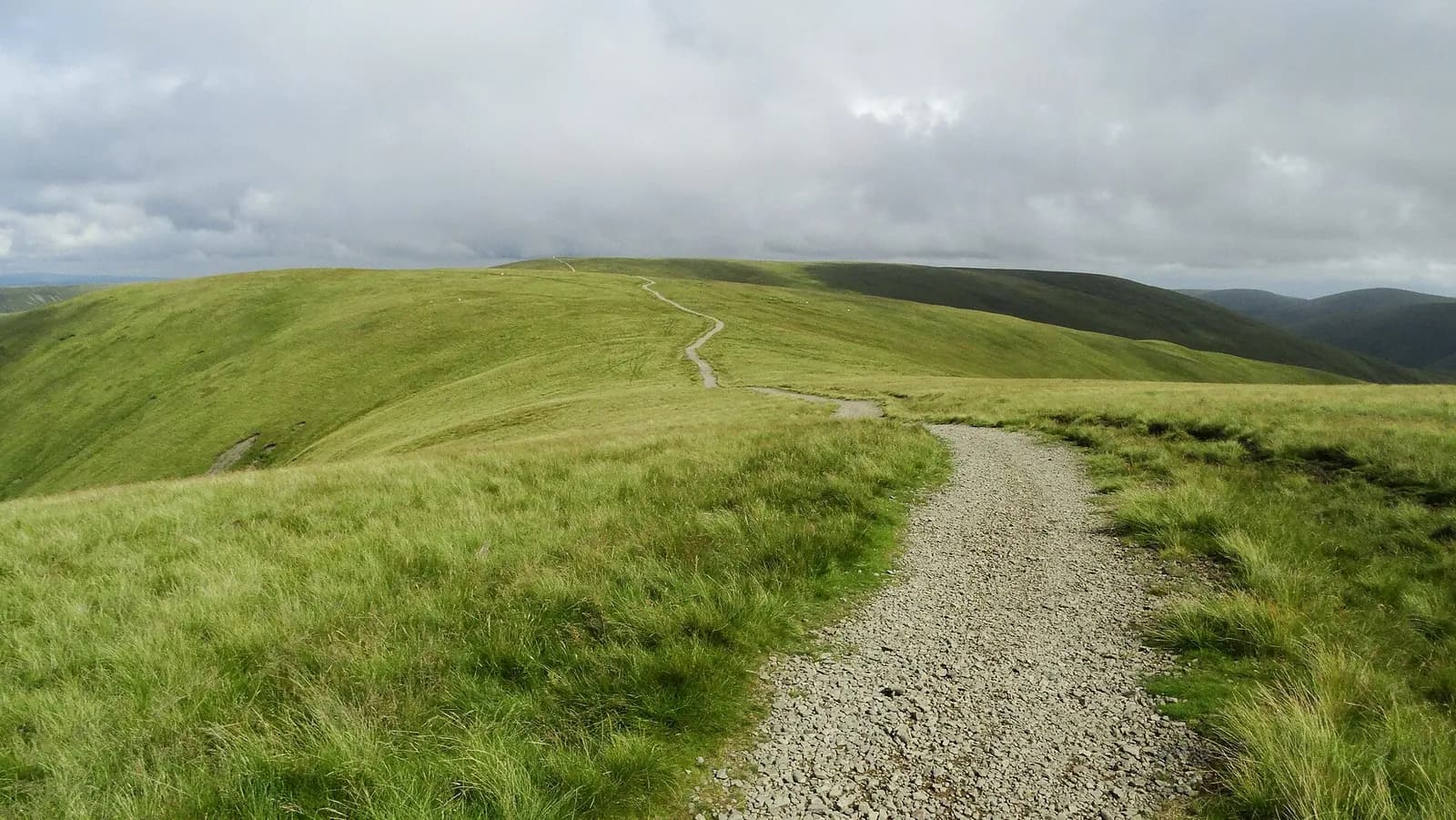
The Howgills are the great rounded, grassy fells that rise above Sedbergh, and The Calf, at 676 metres, is their highest point. Unlike the Lakes, these hills have almost no walls or fences on the tops, so once you are up the walking is open, fast and wonderfully empty, on smooth ridges that roll away in every direction.
This is the classic way up from the town, following Visit Sedbergh's own route: up beside Settlebeck Gill, onto the shoulder below Winder, over Arant Haw, down to the col at Rowantree Grains and up beside a fence to Calders. From there a broad track runs just over a kilometre north to the trig point on The Calf.
It is a proper mountain day for its height, with steep climbs and exposure to the weather. Fit walkers with navigation skills will love it.
The route
- 1
Out of Sedbergh
From the car park turn right up Joss Lane to the end of the tarmac. Go through the field gate, follow the track left of the buildings to a small gate, then climb the narrow path up the left side of Settlebeck Gill to the fell gate and its stone bench.
- 2
Onto the shoulder
Climb the steep ramp behind the benches, turn right across the slope to a stream, cross it and climb the valley through a boggy patch. At the junction halfway up, go straight on to the shoulder and turn right onto the broad bridleway.
- 3
Over Arant Haw
At the first marker post, turn left to climb Arant Haw and its small cairn, then follow the ridge north-east to rejoin the bridleway. You can also stay on the bridleway and skip the top.
- 4
Rowantree Grains and Calders
The bridleway drops to the col at Rowantree Grains. Climb steeply beside the fence to the summit of Calders.
- 5
To The Calf and back
From Calders follow the broad track north for just over a kilometre to the white trig point on The Calf. Return the same way, descending from the shoulder between Arant Haw and Winder back to Sedbergh.
Questions people ask
How long does it take to walk up The Calf from Sedbergh?
Allow four to five hours for the round trip of about 13 km with around 800 metres of ascent.
What is the highest point in the Howgills?
The Calf, at 676 metres, marked by a white trig point.
Is there a shorter walk from Sedbergh?
Yes. Winder, the fell right above the town, is a 5.5 km round trip with about 350 metres of ascent.
Are the Howgills in the Lake District?
No. They lie in Cumbria but within the Yorkshire Dales National Park, between Sedbergh and the M6.
More walks nearby
Cautley Spout and The Calf from the Cross Keys
Hard, 10.4 km, 593 m up, about 3 hours
England's highest cascade above ground, climbed beside its falls, then a round of the Howgills' high tops by Cautley Crag and The Calf.
Wild Boar Fell and Swarth Fell from Mallerstang
Hard, 13.6 km, 574 m up, about 3 hours 30 minutes
The great prow above Mallerstang, climbed from the head of the dale near Aisgill and linked with Swarth Fell for a fine high circuit.