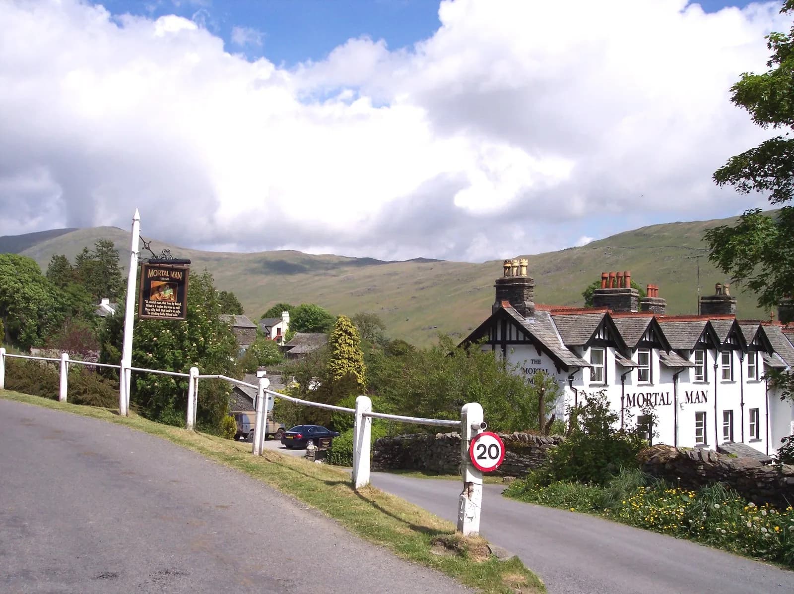
The Kentmere Horseshoe
A long, classic round of nine Wainwrights from Kentmere: up the Garburn Road to Yoke and Ill Bell, over High Street, and home by Harter Fell and Shipman Knotts.
- Distance
- 21.2 km
- 13.2 miles
- Ascent
- 1157 m
- High point 828 m
- Time
- 6 hours
- Walking time, no stops
- Grade
- Hard
- Circular
Take this walk with you
Google Maps does not know most fell paths, so use it to get to the start, then follow the GPX in an app like OS Maps, Komoot or AllTrails. To see the line in Google Maps, open Google My Maps, create a map, choose Import and pick the KML file. It then appears in the Google Maps app under Saved, Maps.
Weather on this walk
Loading the forecast
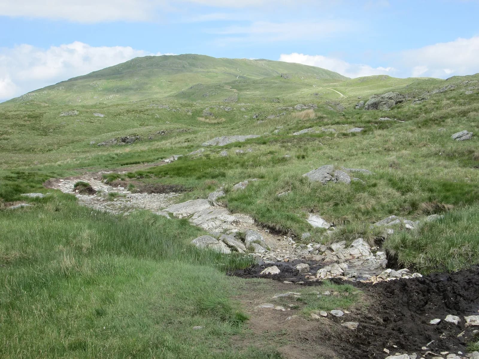
The Kentmere Horseshoe walks the full skyline around a quiet valley north of Staveley, and it is one of the great full-day rounds in the far eastern fells. Nine Wainwrights fall in one go, and after the initial climb most of the walking is on high, open ridges.
This description goes clockwise. The old Garburn Road gets you onto the ridge, then Yoke, Ill Bell and Froswick come in quick succession, a roller coaster of steep little summits with the Kentmere valley far below. Thornthwaite Crag's tall stone beacon marks the turn to High Street, the highest point of the day, before the way back crosses Mardale Ill Bell, Nan Bield Pass and the broad tops of Harter Fell and Kentmere Pike.
It is long and tiring rather than technical. Parking is very limited, so arrive early.
The route
- 1
Kentmere to the Garburn Road
From the parking by the Kentmere Institute, near the church, follow the lane west and join the stony Garburn Road, an old corpse road, as it climbs towards the Garburn Pass.
- 2
Up to Yoke
Near the top of the pass leave the track and head north up the broad ridge to Yoke.
- 3
Ill Bell and Froswick
Carry on north over the steep, rocky little summit of Ill Bell, with its two big cairns, and then Froswick. You can skirt both by the lower path on the west side of the ridge if the weather is poor.
- 4
Thornthwaite Crag and High Street
Climb to the tall beacon on Thornthwaite Crag, then head north-east across the broad slopes to the trig point on High Street.
- 5
Mardale Ill Bell and Nan Bield
Go south-east to Mardale Ill Bell and drop steeply to the stone shelter on Nan Bield Pass, between Kentmere and Mardale.
- 6
Harter Fell, Kentmere Pike and Shipman Knotts
Climb east to Harter Fell, then follow the long ridge south over boggy ground to Kentmere Pike and on to Shipman Knotts. Descend south-west to the bridleway between Kentmere and Longsleddale and follow paths across the fields back to the village.
Questions people ask
How long is the Kentmere Horseshoe?
Mud and Routes gives 22.31 km with about 1,450 metres of ascent and six to eight hours.
Where do you park for the Kentmere Horseshoe?
There is limited parking by the Kentmere Institute near the church. Mud and Routes warns it is often full by 8am.
Which Wainwrights are on the Kentmere Horseshoe?
Yoke, Ill Bell, Froswick, Thornthwaite Crag, High Street, Mardale Ill Bell, Harter Fell, Kentmere Pike and Shipman Knotts.
Which way round is best?
It is usually walked clockwise, starting up the Garburn Road, though it works in either direction.
More walks nearby
High Street from Mardale Head via Rough Crag
Hard, 9.6 km, 632 m up, about 3 hours
High Street's finest side: up the long ridge of Rough Crag and Long Stile above Haweswater, then down by Mardale Ill Bell, Nan Bield Pass and Small Water.
Orrest Head from Windermere station
Easy, 2.5 km, 108 m up, about 30 minutes
A short climb straight from Windermere station through woodland to Orrest Head, a 360 degree viewpoint over Windermere and the central fells.
Wansfell Pike and Troutbeck from Ambleside
Hard, 11.6 km, 602 m up, about 3 hours 30 minutes
Ambleside's own fell: past Stock Ghyll Force to Wansfell Pike, down Nanny Lane to Troutbeck, home through Skelghyll Woods and Jenkin Crag.