Solway Coast
A protected landscape of salt marsh, dunes and huge skies on the Solway Firth, from Silloth to Bowness-on-Solway and the end of Hadrian's Wall.
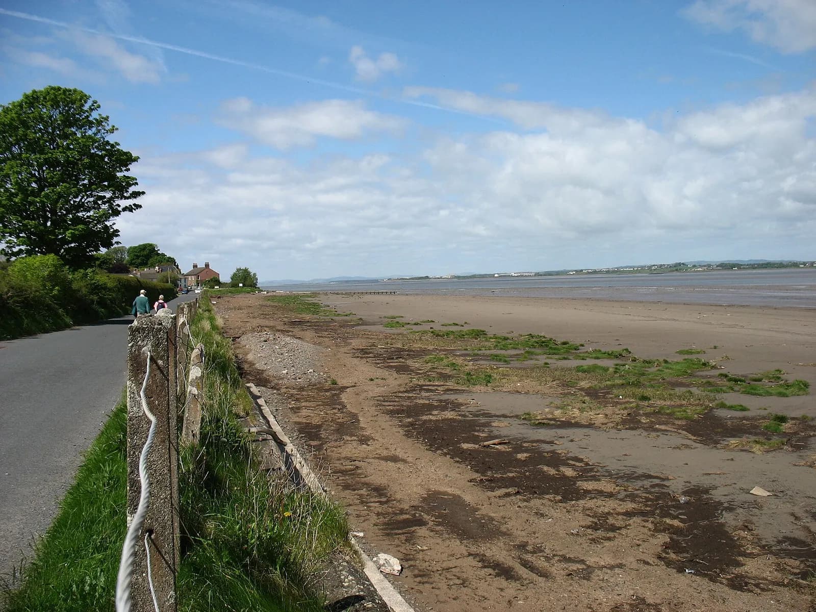
The Solway Coast is Cumbria's quiet northern shore, looking across the Solway Firth to the hills of Dumfries and Galloway and the dome of Criffel. It is a protected landscape, formerly called an Area of Outstanding Natural Beauty and now a National Landscape. On this site it covers Silloth, the Victorian port and resort, and Bowness-on-Solway, where Hadrian's Wall and the Hadrian's Wall Path both end.
The appeal is space. Salt marsh, mudflats, dunes and shingle run for miles, the skies are enormous, and the winter goose flocks on the marshes are one of the great wildlife spectacles in the north of England. Silloth has a long green, a promenade and a famous links golf course. Further east, the villages along the Wall line, such as Port Carlisle, Drumburgh and Burgh by Sands, are small and very peaceful. The coast is also rich in history: the line of Hadrian's Wall runs along the shore to Bowness, Roman forts and milefortlets continued down the coast, and the medieval church at Burgh by Sands is built with stone taken from the Wall.
Come for birdwatching, flat cycling, sunsets and the final miles of the Hadrian's Wall Path. Late autumn and winter are best for birds; summer for long evenings on the shore.
There is not much here in the way of attractions, and that is the point. Facilities are thin, the marsh roads near Bowness can flood at very high tides, and the wind off the firth is sharp. Check tide times before parking on the marsh.
Walks in Solway Coast
All walks in Solway CoastBowness-on-Solway and Port Carlisle
Easy, 6.7 km, 11 m up, about 1 hour 30 minutes
The end of Hadrian's Wall: from Bowness-on-Solway along the Solway shore to the old canal port at Port Carlisle, back by farm lanes.
Silloth to Skinburness and Grune Point
Easy, 10.5 km, 5 m up, about 2 hours
Along the Silloth promenade to Skinburness and out to Grune Point, a shingle spit with big Solway views and a wartime pillbox.
Towns, villages and lakes in Solway Coast
- Silloth
A Victorian port and resort on the Solway, with a huge green, cobbled streets, sunsets over Criffel and a Thursday market in season.