Bowness-on-Solway and Port Carlisle
The end of Hadrian's Wall: from Bowness-on-Solway along the Solway shore to the old canal port at Port Carlisle, back by farm lanes.
- Distance
- 6.7 km
- 4.2 miles
- Ascent
- 11 m
- High point 18 m
- Time
- 1 hour 30 minutes
- Walking time, no stops
- Grade
- Easy
- Circular
Take this walk with you
Google Maps does not know most fell paths, so use it to get to the start, then follow the GPX in an app like OS Maps, Komoot or AllTrails. To see the line in Google Maps, open Google My Maps, create a map, choose Import and pick the KML file. It then appears in the Google Maps app under Saved, Maps.
Weather on this walk
Loading the forecast
Bowness-on-Solway is where Hadrian's Wall, and the 84-mile National Trail that follows it, finally runs into the sea. It is a quiet, end-of-the-world sort of place, with Scotland just across the Solway Firth and huge skies over the mudflats.
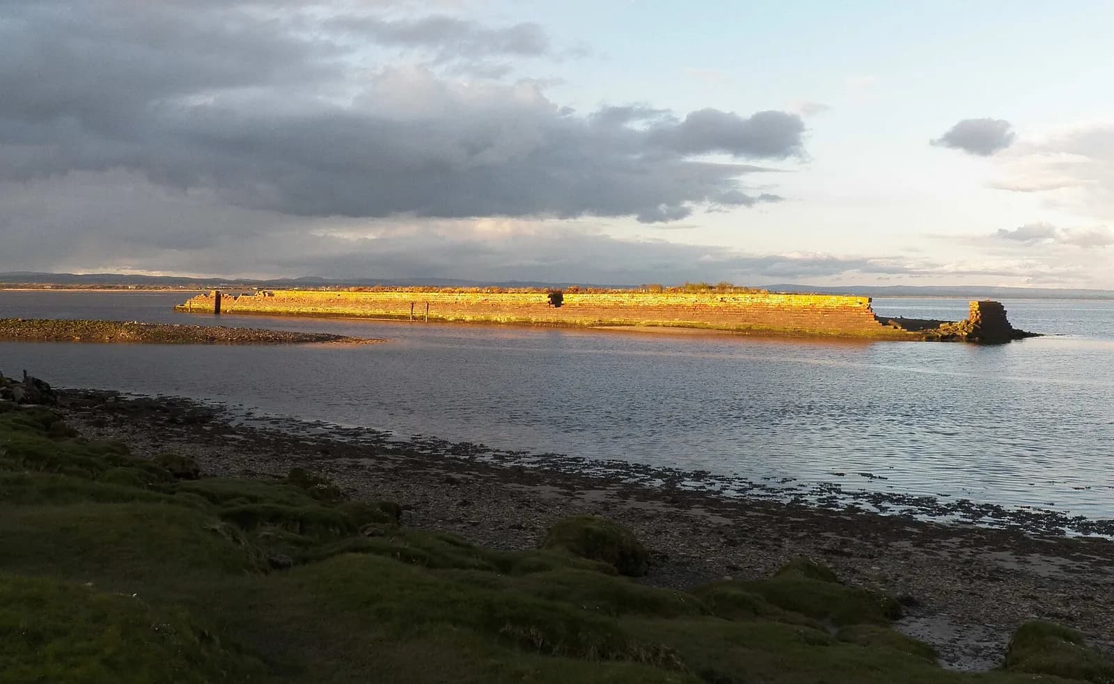
This gentle loop follows the Hadrian's Wall Path east from the shelter on Banks Promenade, partly on the foreshore and partly on a quiet road, to Port Carlisle. The village was the terminus of the Carlisle Canal, dug from 1823 and filled in by 1847 to make way for a railway, and you can still see the old harbour wall. The return heads inland through fields and lanes past Brackenrigg and Bowness Hall, finishing at St Michael's Church.
It is flat and short, and superb for birdwatchers: curlew, oystercatchers and other waders feed on the mud. The one thing you must plan around is the tide.
The route
- 1
To the end of the Wall
From the car park walk through the village to the shelter on Banks Promenade, where a sign marks the start (or end) of the Hadrian's Wall Path.
- 2
Along the Solway
Follow the Trail east, dropping briefly to the stony foreshore and then along the quiet coast road, with views across the Firth to Scotland.
- 3
Port Carlisle
After about a mile reach Port Carlisle. A footpath skirts the village past the old port and its harbour wall.
- 4
Inland to Brackenrigg
Cross the road by the Methodist chapel and turn left onto lanes and field paths, which can be muddy. Look carefully for the narrow path that runs parallel to the track, then pass the farm at Brackenrigg.
- 5
Bowness Hall and home
Join the track to Bowness Hall, follow the road briefly, pass the Old Rectory and visit St Michael's Church before returning to the car park.
Questions people ask
Where does Hadrian's Wall end?
At Bowness-on-Solway on the Solway Firth. A shelter on Banks Promenade marks the start or end of the Hadrian's Wall Path.
How long is the walk from Bowness-on-Solway to Port Carlisle?
About a mile each way along the Trail; this circuit back through the fields is about four miles.
Is the Solway coast road safe at high tide?
No. High tides can flood the saltmarsh and the road, so plan your walk around the tide tables.