Silver How from Grasmere
Grasmere's own little fell: a short circuit to a rocky summit with one of the finest views of the vale, the lake and the Langdale Pikes.
- Distance
- 5.8 km
- 3.6 miles
- Ascent
- 370 m
- High point 392 m
- Time
- 2 hours
- Walking time, no stops
- Grade
- Moderate
- Circular
Take this walk with you
Google Maps does not know most fell paths, so use it to get to the start, then follow the GPX in an app like OS Maps, Komoot or AllTrails. To see the line in Google Maps, open Google My Maps, create a map, choose Import and pick the KML file. It then appears in the Google Maps app under Saved, Maps.
Weather on this walk
Loading the forecast
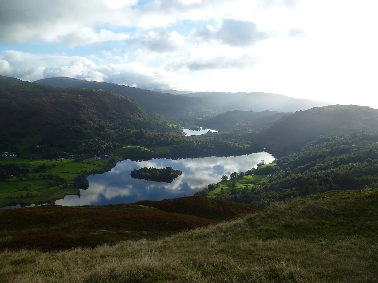
Silver How is the craggy fell that rises straight out of the west side of Grasmere village, and it is the best short summit walk from the village. In a couple of hours you get a proper fell top with a cairn, and from it a view that takes in Grasmere and Rydal Water in one direction and Bowfell, Crinkle Crags and the Langdale Pikes in the other.
The route climbs from the village past Allan Bank, the National Trust house where Wordsworth once lived, onto open fellside, crosses Wray Gill and follows a cairned path to the top. The descent drops to a wall and follows an old walled lane back to the road.
It suits most walkers with a little fell experience. In cloud, the rolling ground around the summit can be confusing, so save it for a clear day.
The route
- 1
Out of the village
From the car park cross Red Bank Road and take Broadgate Road opposite. After about 200 metres turn left up the narrow road towards Allan Bank, go through the gate and follow the drive, keeping right at the fork.
- 2
Onto the fell
Follow the fingerpost for Silver How and Langdale through two gates. Pass a large cairn and bear left at the fork, dropping to cross Wray Gill.
- 3
To the summit
Climb the cairned path south to the summit of Silver How and its prominent cairn.
- 4
Down to the wall
Descend south-east to another large cairn, where the path steepens, and continue to a path crossroads beside a wall.
- 5
Back to Grasmere
Turn left with the wall on your right, go through three gates and follow the walled path down to the road. Turn left back to the car park.
Questions people ask
How long does it take to walk up Silver How?
About two to two and a half hours for the circuit from Grasmere.
Where do you park for Silver How?
Red Bank Road car park in Grasmere is the most convenient. It is pay and display.
Is Silver How a Wainwright?
Yes. It is one of the 214 fells in Wainwright's Pictorial Guides.
More walks nearby
Alcock Tarn from Grasmere
Moderate, 5.4 km, 312 m up, about 1 hour 30 minutes
A short, steep climb from Grasmere to a quiet fellside tarn, with one of the best views of the vale on the way down past Dove Cottage.
Easedale Tarn from Grasmere
Moderate, 8.6 km, 227 m up, about 2 hours
Grasmere's classic tarn walk: up beside the white cascades of Sourmilk Gill to a big mountain tarn, back by Far Easedale.
Helm Crag from Grasmere
Moderate, 6.6 km, 326 m up, about 2 hours
Grasmere's own fell: a short, steep climb from Easedale to the rocky crest known as the Lion and the Lamb, with an exposed summit block for those who want it.
Food, drink and beds near the start
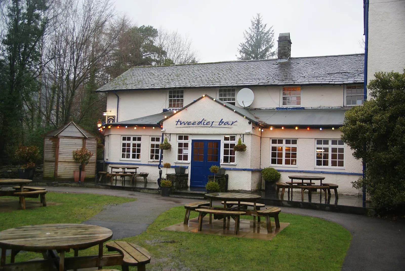
Tweedies Bar & Lodge
Modern British, Grasmere, ££, dogs welcome
A relaxed Grasmere bar and lodge with a big beer garden looking out to the fells, a strong line of craft beers and ales, hearty seasonal food and live bands at weekends.
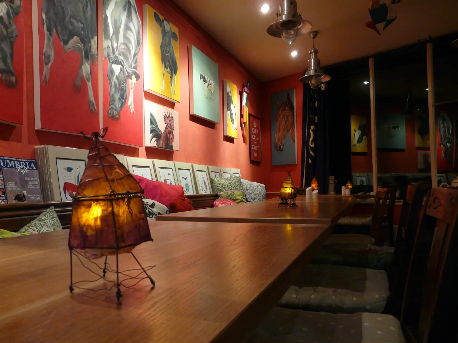
The Jumble Room
Eclectic, Grasmere, ££
A gloriously eclectic Grasmere institution where world flavours collide on a menu that refuses to be pigeonholed.
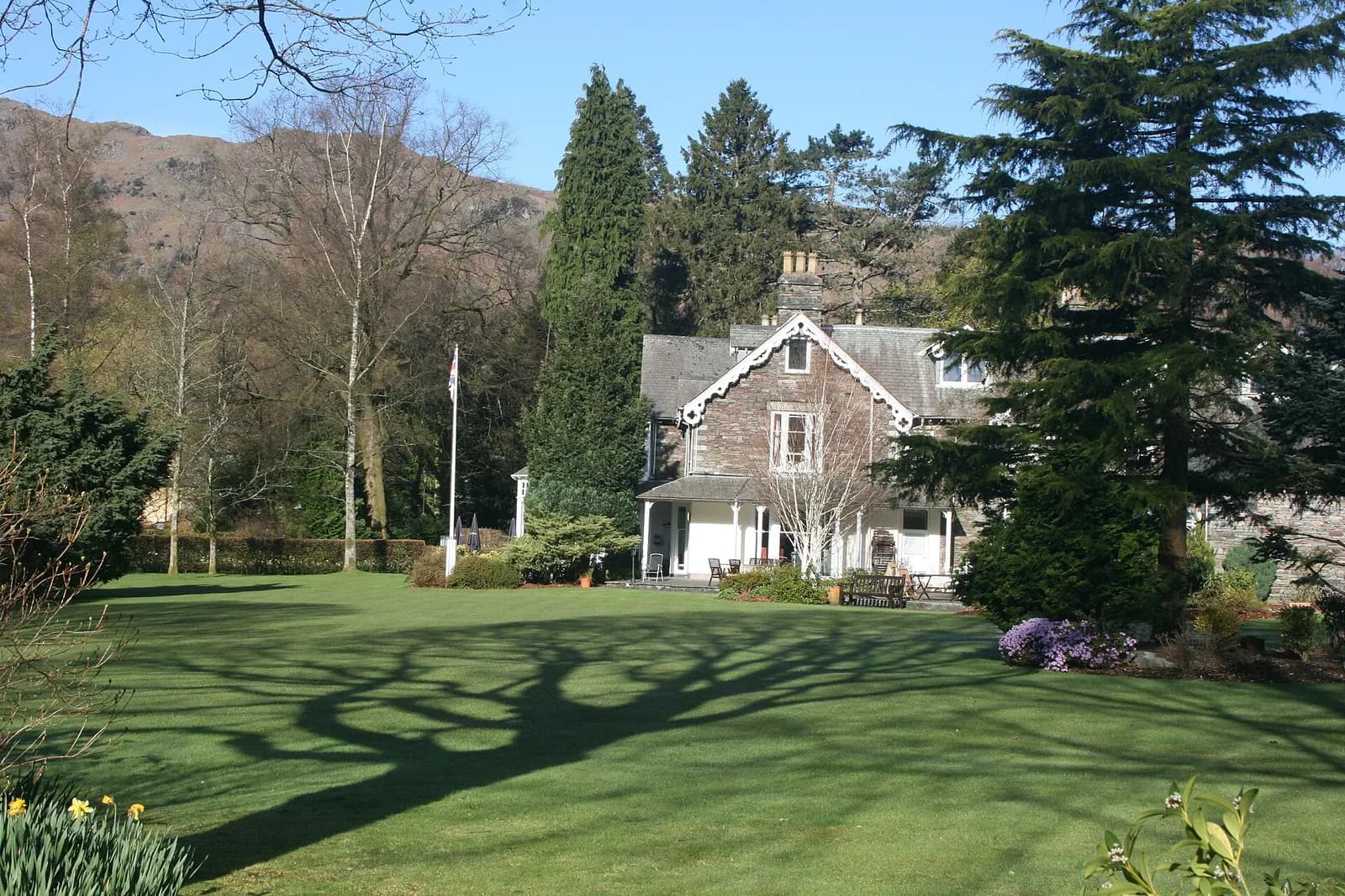
The Wordsworth Hotel
Luxury Hotel, Grasmere, £££, dogs welcome
A much-loved hotel in the heart of Grasmere village, now part of The Inn Collection Group and reopening after a major refurbishment with dog-friendly rooms and a relaxed pub-style dining offer.
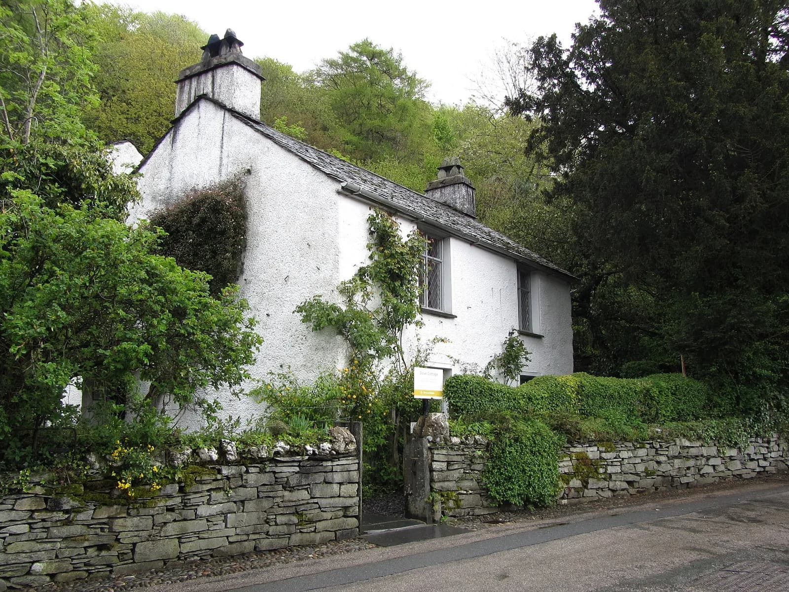
Wordsworth Grasmere
Heritage, Grasmere, ££
Dove Cottage and the museum tell the story of England's greatest Romantic poet in the landscape that inspired him.
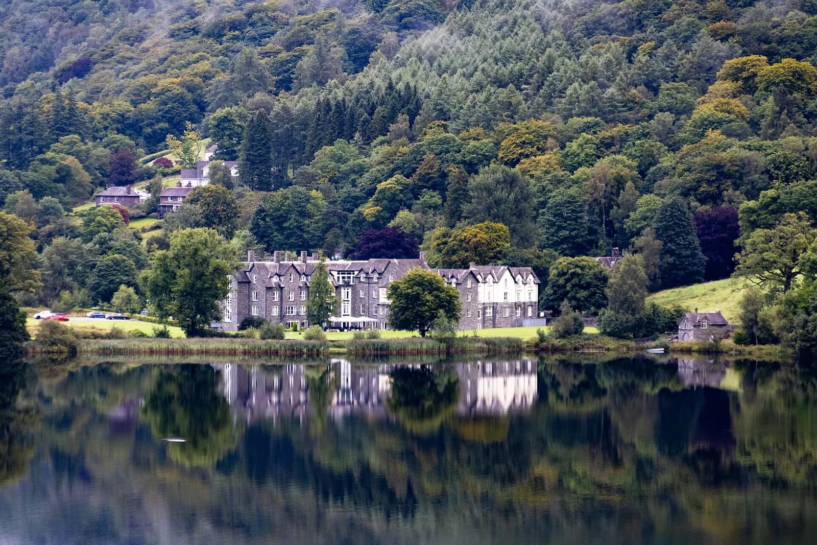
The Daffodil Hotel & Spa
Contemporary British, Grasmere, £££
A luxurious lakeside retreat offering panoramic views of Grasmere Lake. Features an award-winning spa and elegant dining rooms serving locally sourced cuisine.
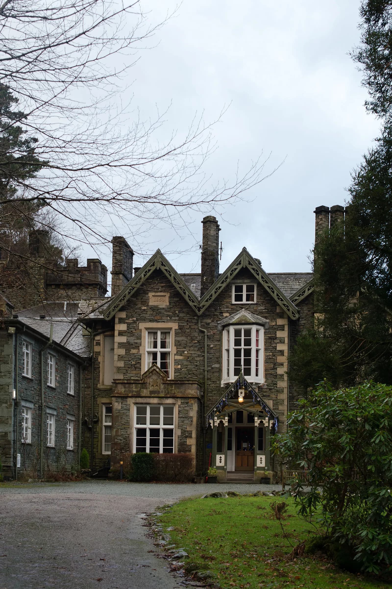
Forest Side
Tasting Menu, Grasmere, ££££, dogs welcome
A Michelin-starred restaurant in a Gothic Victorian mansion overlooking Grasmere, with much of the produce foraged from the surrounding fells. The tasting menu is a masterclass in terroir-driven cooking.