Easedale Tarn from Grasmere
Grasmere's classic tarn walk: up beside the white cascades of Sourmilk Gill to a big mountain tarn, back by Far Easedale.
- Distance
- 8.6 km
- 5.3 miles
- Ascent
- 227 m
- High point 285 m
- Time
- 2 hours
- Walking time, no stops
- Grade
- Moderate
- Circular
Take this walk with you
Google Maps does not know most fell paths, so use it to get to the start, then follow the GPX in an app like OS Maps, Komoot or AllTrails. To see the line in Google Maps, open Google My Maps, create a map, choose Import and pick the KML file. It then appears in the Google Maps app under Saved, Maps.
Weather on this walk
Loading the forecast
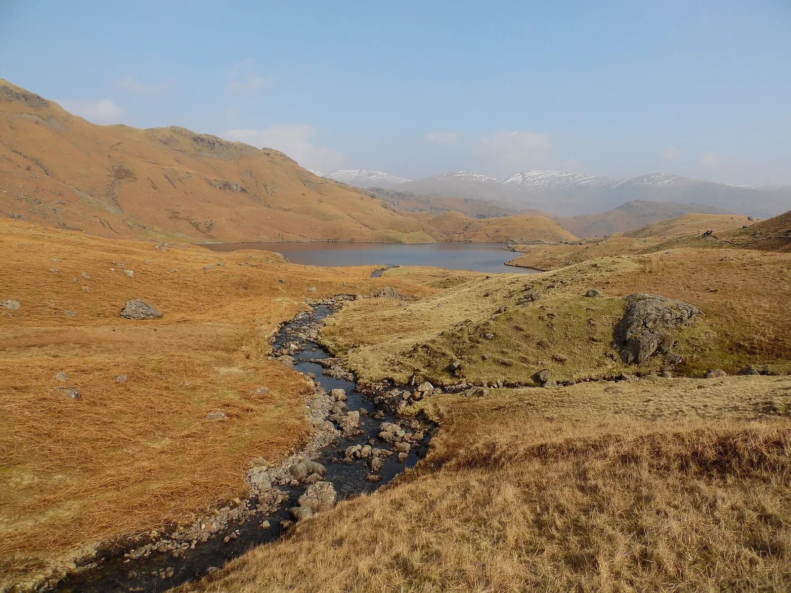
Easedale Tarn is the walk most Grasmere regulars point visitors towards, and with good reason. Within half an hour of the village you are in a proper side valley, and the climb beside Sourmilk Gill, a long run of white water down a rocky step, is as good a waterfall walk as the central fells offer.
At the top the tarn sits in a bowl under Tarn Crag and Blea Rigg, deep and dark, with flat rocks for a picnic. This version makes a loop of it, crossing the outflow on stepping stones and coming back down the quieter north side into Far Easedale.
It is a moderate half-day for fit families and casual walkers. The path is stepped and rocky on the climb and boggy on the return, so boots are the right call.
The route
- 1
Into Easedale
From the car park walk to the Allan Bank turning by the Inn at Grasmere and follow Easedale Road out of the village, using the footpath signed for Goody Bridge that runs beside the road for part of the way. Look for the small turning on the left to the footbridge signed for Easedale Tarn.
- 2
Across the meadows
Cross the footbridge and a smaller stone bridge into open farmland. Follow the wall with Easedale Beck on your right, through gates and over a flat stone bridge, and take the left fork on the bridleway.
- 3
Up Sourmilk Gill
The path climbs beside the falls of Sourmilk Gill, stepped and rocky, with a few easy moves over big blocks near the top. Above the falls it eases, and the tarn appears behind a low ridge.
- 4
Round the outflow
At the tarn, cross the beck on the stepping stones at the eastern end and pick up the path that heads back down on the far side of the water. The ground here is boggy, with stepping stones along the way.
- 5
Far Easedale and home
Pass the big boulder with the painted Grasmere arrow and follow the path round the fields to the footbridge over Far Easedale Gill. Cross, turn right, and follow the lane past the farm buildings straight on for Grasmere, ignoring the turning for Helm Crag, back to Easedale Road and the village.
Questions people ask
How long is the walk to Easedale Tarn?
The circular route is about six miles. Turning back at the tarn and returning the same way is about five miles.
Is Easedale Tarn walk suitable for children?
Yes for children who walk regularly. It takes families with young children four to five hours, and it is not pushchair friendly.
Can you swim in Easedale Tarn?
Wild swimmers do use it, but it is deep and cold even in summer. Only swim if you are experienced and never alone.
Where do you park for Easedale Tarn?
Use the pay and display car parks in Grasmere village. A small private car park on Easedale Road shortens the walk but fills early.
More walks nearby
Helm Crag from Grasmere
Moderate, 6.6 km, 326 m up, about 2 hours
Grasmere's own fell: a short, steep climb from Easedale to the rocky crest known as the Lion and the Lamb, with an exposed summit block for those who want it.
Silver How from Grasmere
Moderate, 5.8 km, 370 m up, about 2 hours
Grasmere's own little fell: a short circuit to a rocky summit with one of the finest views of the vale, the lake and the Langdale Pikes.
Alcock Tarn from Grasmere
Moderate, 5.4 km, 312 m up, about 1 hour 30 minutes
A short, steep climb from Grasmere to a quiet fellside tarn, with one of the best views of the vale on the way down past Dove Cottage.
Food, drink and beds near the start
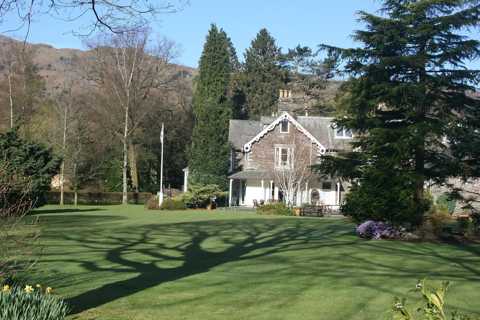
The Wordsworth Hotel
Luxury Hotel, Grasmere, £££, dogs welcome
A much-loved hotel in the heart of Grasmere village, now part of The Inn Collection Group and reopening after a major refurbishment with dog-friendly rooms and a relaxed pub-style dining offer.
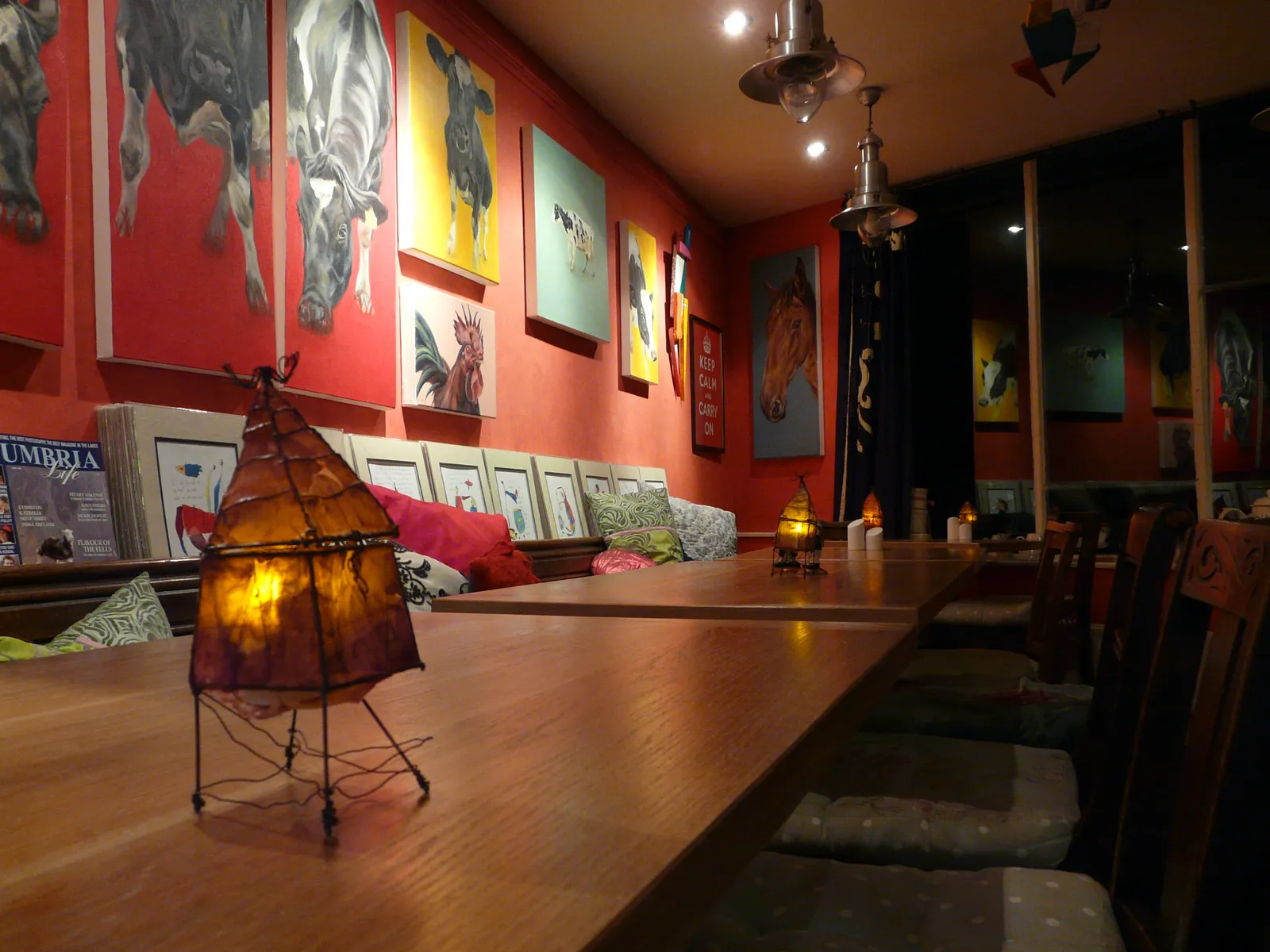
The Jumble Room
Eclectic, Grasmere, ££
A gloriously eclectic Grasmere institution where world flavours collide on a menu that refuses to be pigeonholed.
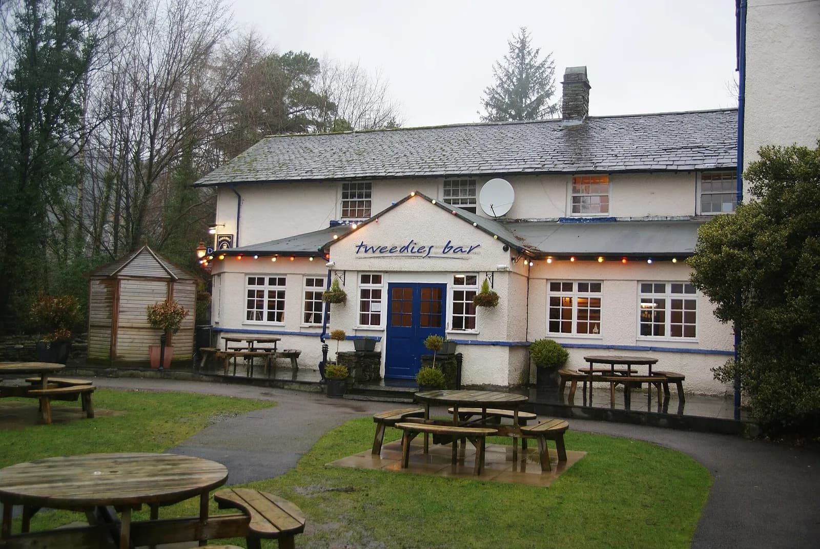
Tweedies Bar & Lodge
Modern British, Grasmere, ££, dogs welcome
A relaxed Grasmere bar and lodge with a big beer garden looking out to the fells, a strong line of craft beers and ales, hearty seasonal food and live bands at weekends.
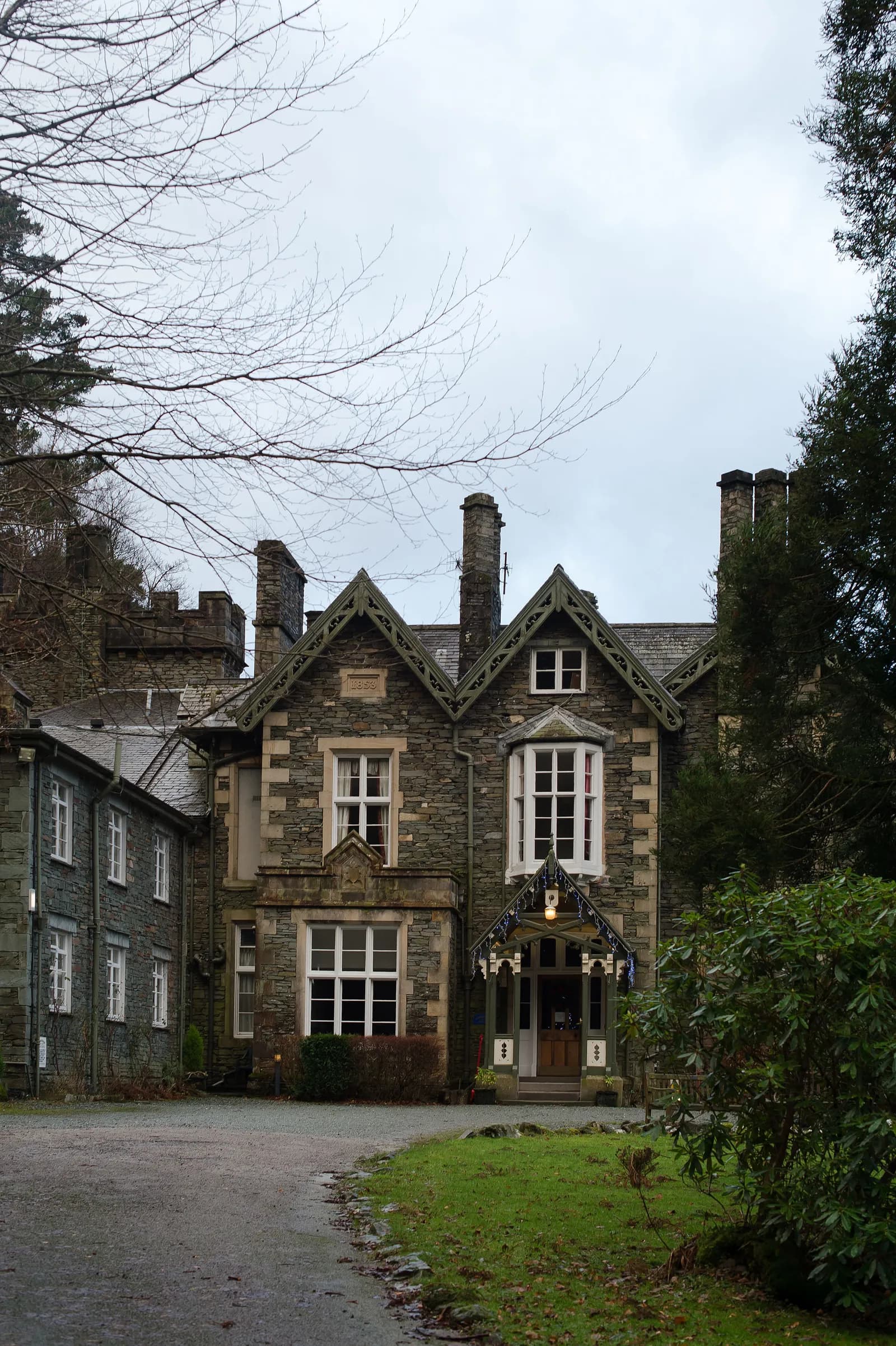
Forest Side
Tasting Menu, Grasmere, ££££, dogs welcome
A Michelin-starred restaurant in a Gothic Victorian mansion overlooking Grasmere, with much of the produce foraged from the surrounding fells. The tasting menu is a masterclass in terroir-driven cooking.
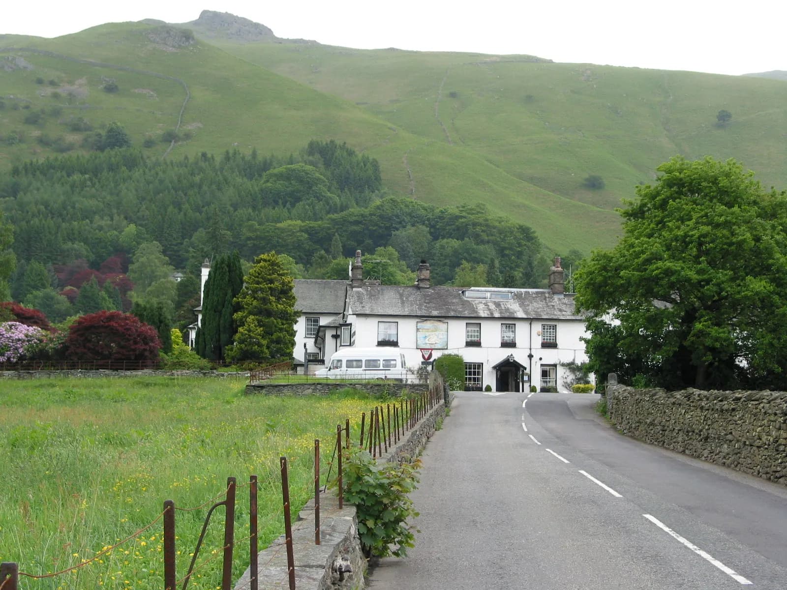
The Swan Hotel
Country Hotel, Grasmere, ££, dogs welcome
This 17th-century coaching inn sits right in the heart of Wordsworth country, where literary pilgrims and fell walkers converge. Stone walls, oak beams, and roaring fires create the perfect base for exploring the central fells. The Swan's traditional charm feels authentic rather than contrived, with locals propping up the bar alongside visiting ramblers.
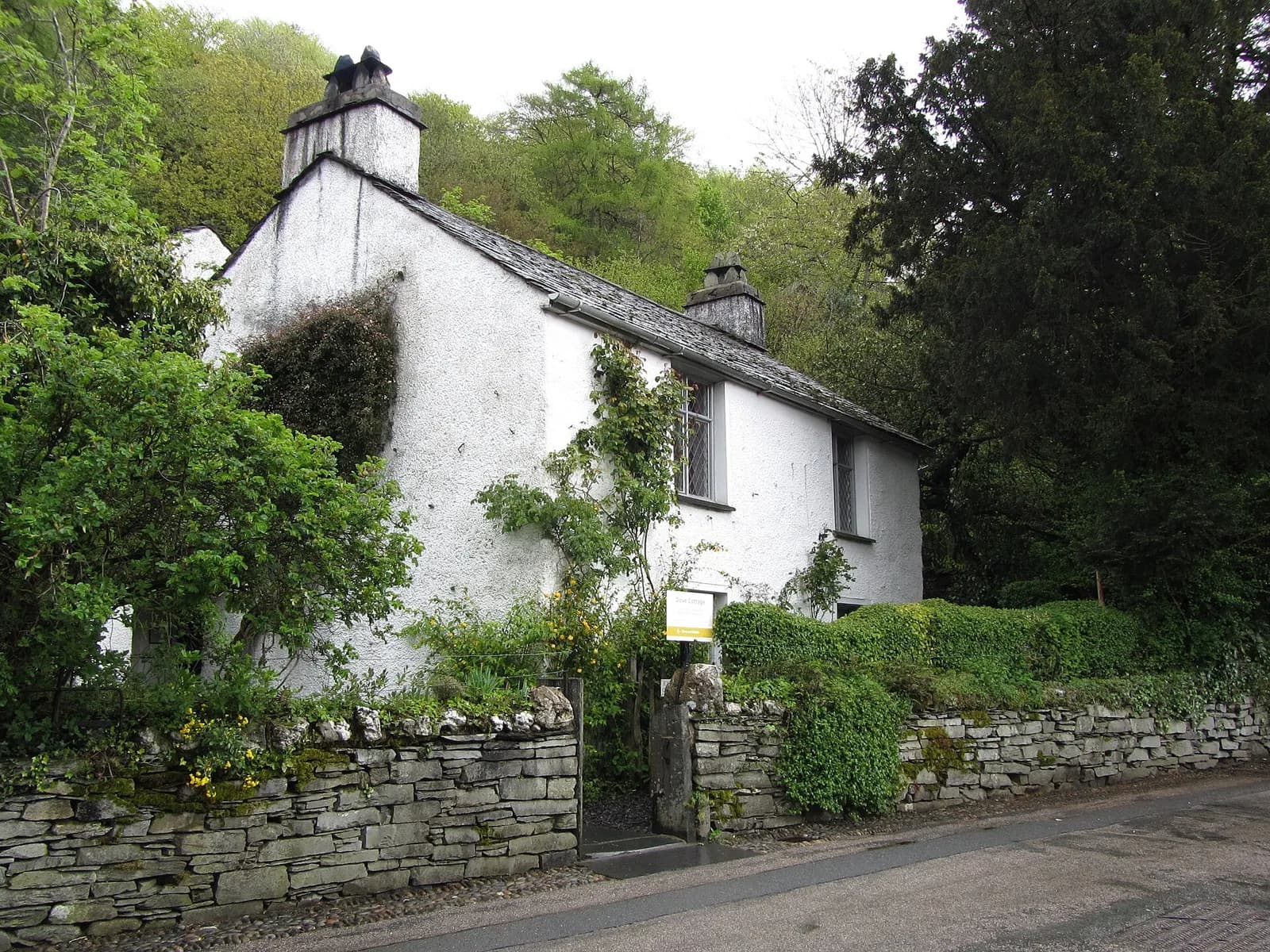
Wordsworth Grasmere
Heritage, Grasmere, ££
Dove Cottage and the museum tell the story of England's greatest Romantic poet in the landscape that inspired him.