Muncaster Fell from Ravenglass to Irton Road
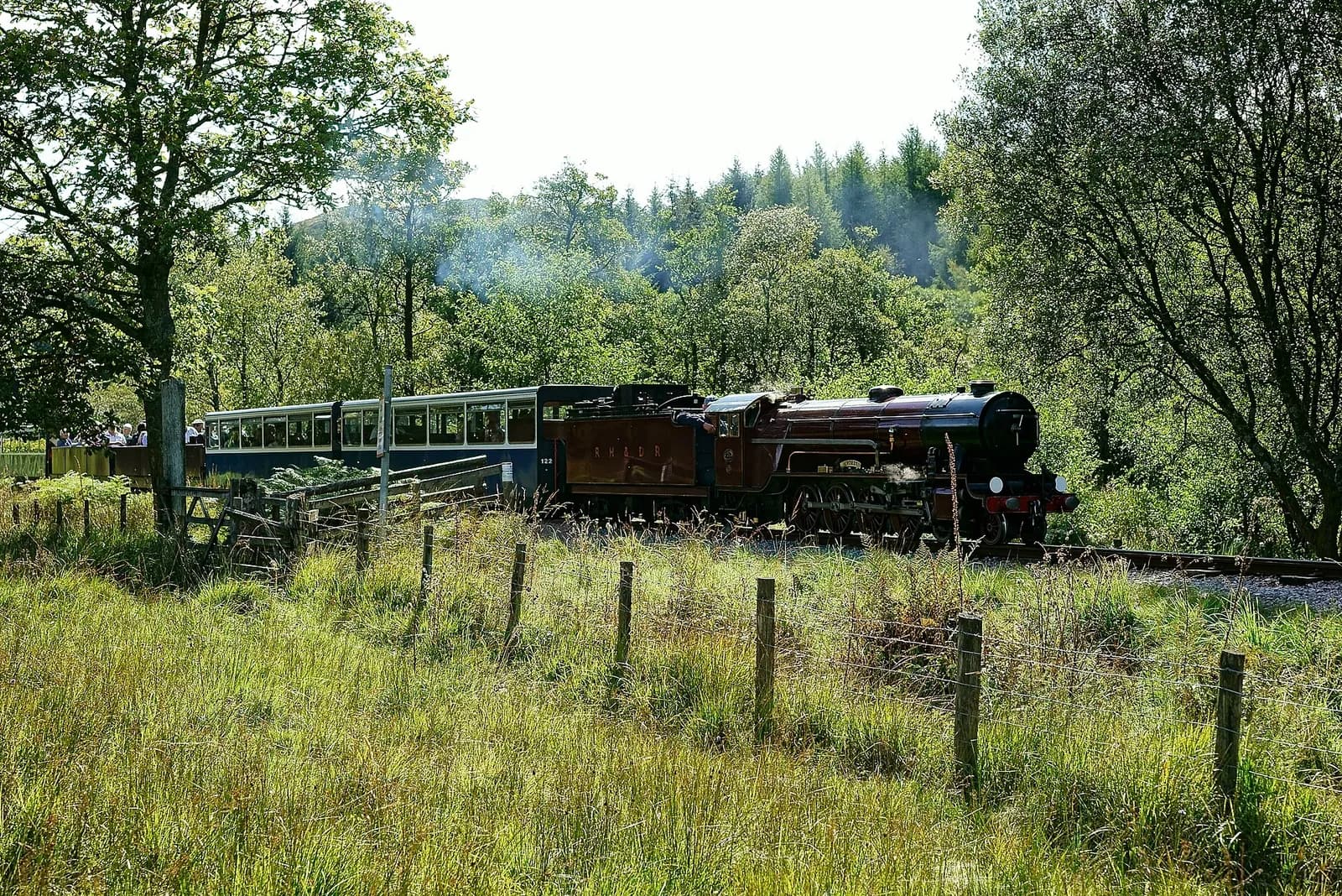
A one-way walk from Ravenglass past the Roman bath house and over Muncaster Fell, returning on the Ravenglass and Eskdale steam railway.
- Distance
- 9.6 km
- 6.0 miles
- Ascent
- 303 m
- High point 230 m
- Time
- 2 hours 30 minutes
- Walking time, no stops
- Grade
- Moderate
- One way
Take this walk with you
Google Maps does not know most fell paths, so use it to get to the start, then follow the GPX in an app like OS Maps, Komoot or AllTrails. To see the line in Google Maps, open Google My Maps, create a map, choose Import and pick the KML file. It then appears in the Google Maps app under Saved, Maps.
Weather on this walk
Loading the forecast
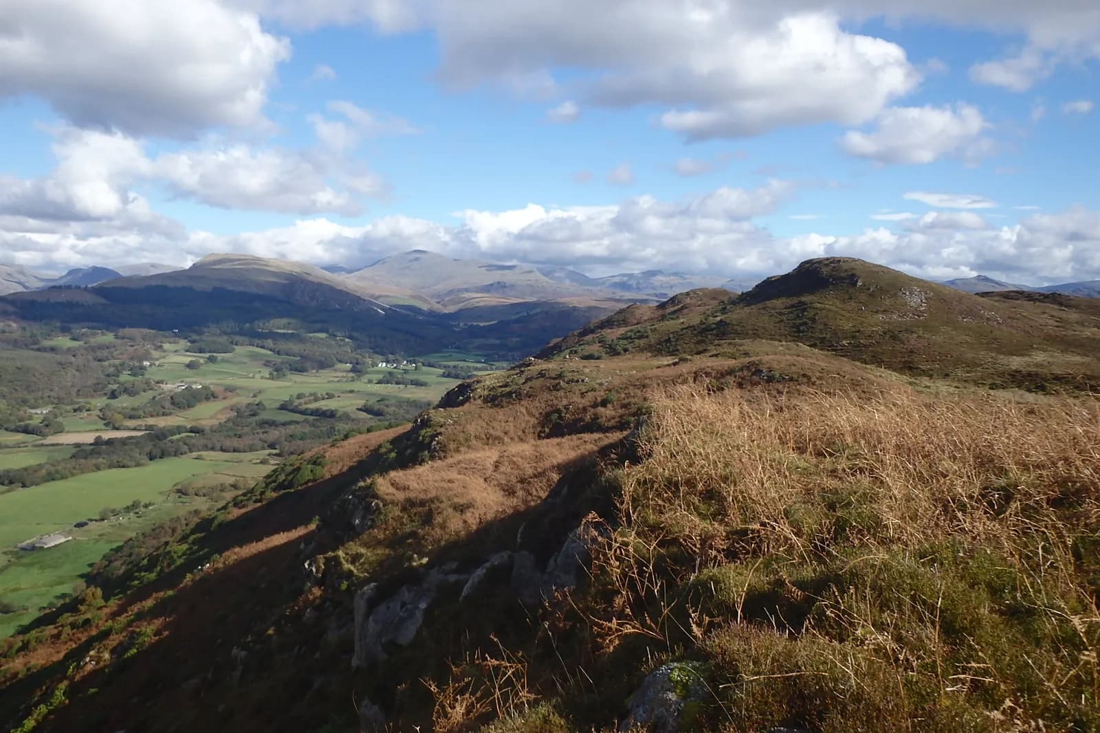
Muncaster Fell is a low, knobbly ridge at the mouth of Eskdale, separating the Esk from the Mite. It is not high, but it stands right on the edge of the fells with the sea behind it, so the views from its crest are far bigger than its height suggests.
This walk is made by the little steam railway. It starts at Ravenglass, passes the remarkably complete walls of the Roman bath house, climbs through the woods near Muncaster Castle and follows Fell Lane up onto the ridge. Hooker Crag gives long views over the coast and into the fells, and the path then winds along the crest past Ross's Camp and down to Irton Road station, where you catch the train back.
It is a lovely, varied half day that suits families with older children. Check the train times before you set off.
The route
- 1
To the Roman bath house
From Ravenglass station, take the path past the end of the play area and follow the track to the Roman bath house.
- 2
Through the woods
Soon after the bath house, take the left fork on the coastal path, then turn left again and follow the track up through the woods and fields towards Muncaster Castle. A path leads out to the A595; turn right and follow it for about 300 metres to a bend.
- 3
Up Fell Lane
At the bend, turn left onto Fell Lane and follow it uphill past Muncaster Tarn among the trees. Ignore the bridleway to the right and keep straight on.
- 4
Hooker Crag
The path passes just below Hooker Crag, the highest point. Make the short detour to the top for the view.
- 5
Along the crest
Continue along the ridge path to a wall corner, go through the gap and follow the path as it winds down past Ross's Camp and the flanks of Silver Knott to a bridleway.
- 6
To Irton Road
Turn left on the bridleway past Forest How and Hollowstones to Irton Road station, and catch the Ravenglass and Eskdale Railway back to Ravenglass.
Questions people ask
How long is the walk over Muncaster Fell?
Visit Lake District gives it as 9.2 km (5.7 miles) from Ravenglass to Irton Road, allowing five to six hours with stops.
How do you get back from Irton Road?
Take the Ravenglass and Eskdale Railway from Irton Road station back to Ravenglass.
What is the highest point of Muncaster Fell?
Hooker Crag, which OpenStreetMap records at about 231 metres.
Can you see the Roman bath house on this walk?
Yes. The route passes the Ravenglass Roman Bath House, managed by English Heritage, early on.
More walks nearby
Ravenglass to the Roman bath house
Easy, 1.8 km, 5 m up, about 30 minutes
An easy, step-free walk from Ravenglass along Walls Drive to one of the tallest Roman buildings still standing in northern Britain.
Scafell Pike from Wasdale Head
Mountain, 8.7 km, 969 m up, about 3 hours 30 minutes
The shortest way up England's highest mountain: from the head of Wastwater by Lingmell Gill and Brown Tongue to the summit of Scafell Pike.