Lingmoor Fell and Side Pike from Elterwater
A small fell with a huge view: from Elterwater through old slate quarries to Lingmoor's ridge, over Side Pike above Blea Tarn, and back along Great Langdale.
- Distance
- 11.6 km
- 7.2 miles
- Ascent
- 536 m
- High point 466 m
- Time
- 3 hours
- Walking time, no stops
- Grade
- Moderate
- Circular
Take this walk with you
Google Maps does not know most fell paths, so use it to get to the start, then follow the GPX in an app like OS Maps, Komoot or AllTrails. To see the line in Google Maps, open Google My Maps, create a map, choose Import and pick the KML file. It then appears in the Google Maps app under Saved, Maps.
Weather on this walk
Loading the forecast
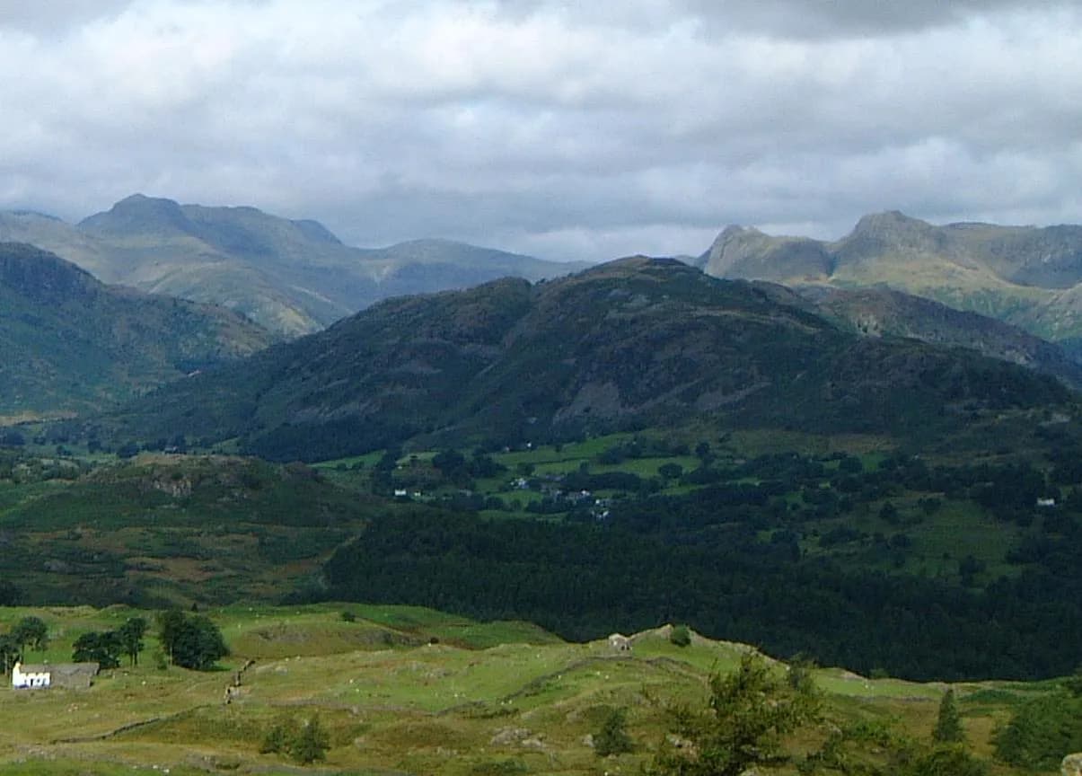
Lingmoor Fell sits between Great and Little Langdale, and its modest height is the whole point: it puts you in the middle of the best scenery in the district. From the ridge the Langdale Pikes stand across the valley, Blea Tarn sits below and the big fells of the head of the dale line up beyond.
The walk starts in Elterwater and climbs past the old slate workings above the village, then zigzags up onto the ridge. A wall leads you over heathery knolls to the summit, called Brown How on the map, and on to Side Pike, a sharp little top ringed by cliffs. From there you drop to the valley and stroll back along the Cumbria Way.
It is an ideal choice for a day when the cloud is sitting on the higher tops.
The route
- 1
Elterwater to the quarries
From the car park cross the bridge over the river and follow the minor road signed for Chapel Stile. Leave it for a track on the right through woodland, past heaps of slate, and climb round to the quarry workings.
- 2
Onto the ridge
Cross the quarry area to the footpath signs and follow the unsurfaced road to a lane. Turn right and almost at once take a path climbing left through the woods, then zigzag up the open fellside.
- 3
Along to Brown How
On the ridge turn right and follow the wall over the ups and downs to the small rocky summit of Lingmoor Fell, with Lingmoor Tarn visible below.
- 4
On to Side Pike
Continue along the crest beside the wall and fence, with Blea Tarn coming into view on the left, down to the col below Side Pike. Climb to its small summit for the view of the Langdale Pikes.
- 5
Down to Great Langdale
Descend off Side Pike's western side towards the road above Blea Tarn, then take the steep, stony path down into Great Langdale.
- 6
Back along the Cumbria Way
Turn right on the valley track, part of the Cumbria Way, and follow it east all the way down Great Langdale back to Elterwater.
Questions people ask
How long is the Lingmoor Fell walk from Elterwater?
Walking Britain gives 11.4 km and about four and a half hours for the circuit from Elterwater, returning down Great Langdale.
How high is Lingmoor Fell?
Wikipedia gives 469 metres. The summit is named Brown How on Ordnance Survey maps.
Can you do a shorter Lingmoor walk?
Yes. Mud and Routes suggests starting near Blea Tarn and climbing via Side Pike, which cuts it to about 5 km.
Where do you park?
The National Trust car park in Elterwater village.
More walks nearby
Elterwater to Skelwith Force
Easy, 5.4 km, 36 m up, about 1 hour
A level riverside walk from Elterwater village, past the lake and through meadows to the falls at Skelwith Force. No stiles.
Silver How from Grasmere
Moderate, 5.8 km, 370 m up, about 2 hours
Grasmere's own little fell: a short circuit to a rocky summit with one of the finest views of the vale, the lake and the Langdale Pikes.
Alcock Tarn from Grasmere
Moderate, 5.4 km, 312 m up, about 1 hour 30 minutes
A short, steep climb from Grasmere to a quiet fellside tarn, with one of the best views of the vale on the way down past Dove Cottage.
Food, drink and beds near the start
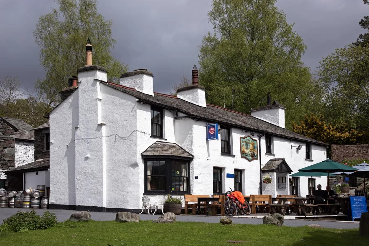
The Britannia Inn
Traditional, Elterwater, ££, dogs welcome
Elterwater's village green pub is a Langdale classic - real ales on the terrace with the Pikes as your backdrop.
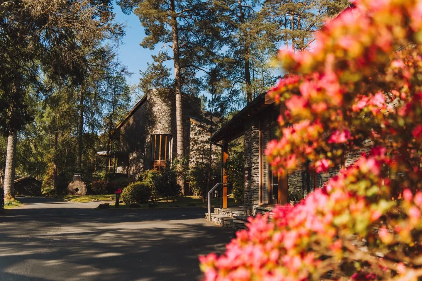
Brimstone Hotel
Luxury Lodge, Langdale, ££££
A collection of luxury suites and lodges in the Langdale Valley with a stunning spa, fire pit, and slate-clad architecture that feels both modern and rooted in the Cumbrian landscape.
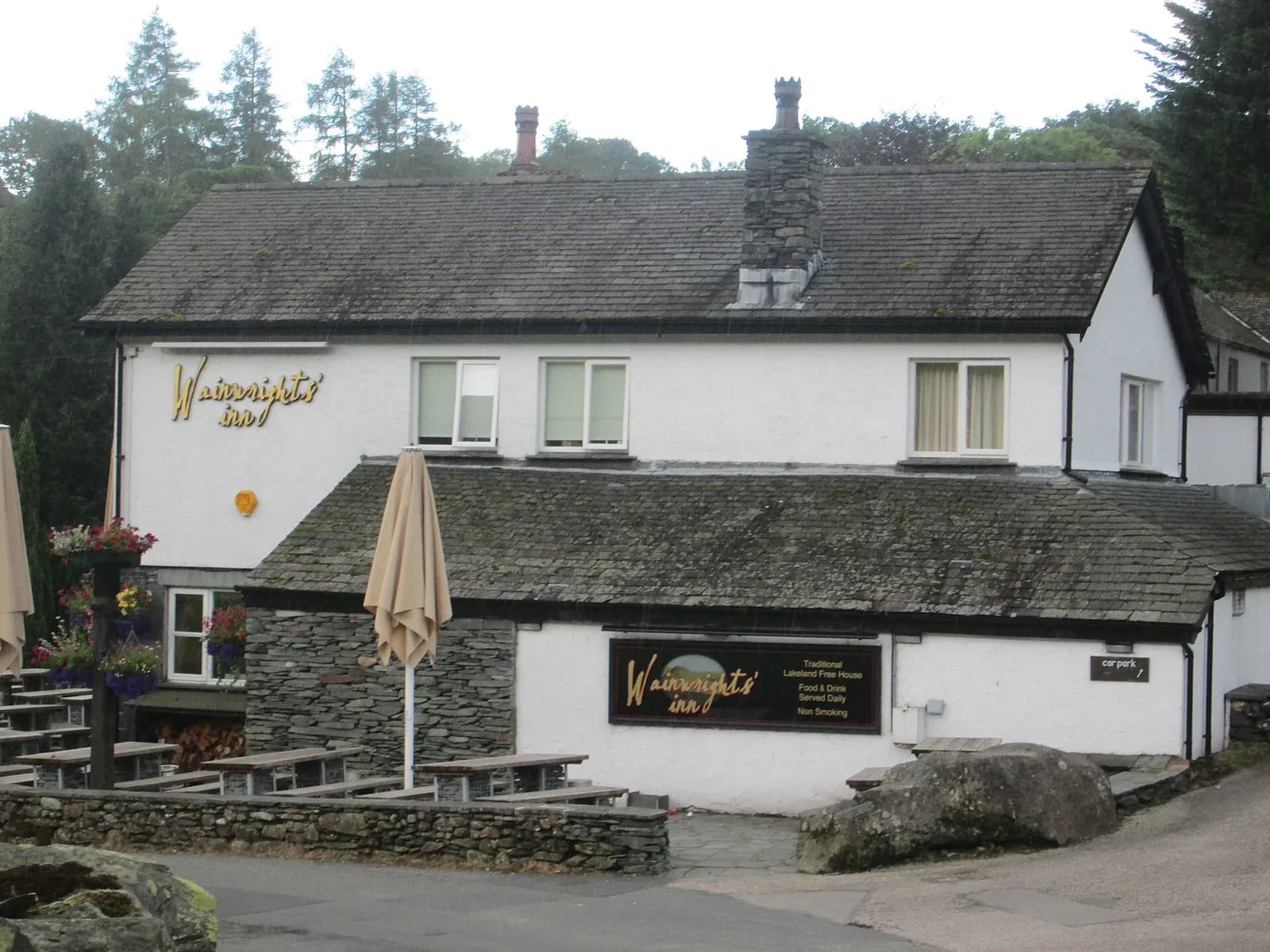
The Wainwright Inn
Traditional, Chapel Stile, ££
A Langdale valley stalwart named after the great man himself - solid ales, hearty food and a walkers welcome.
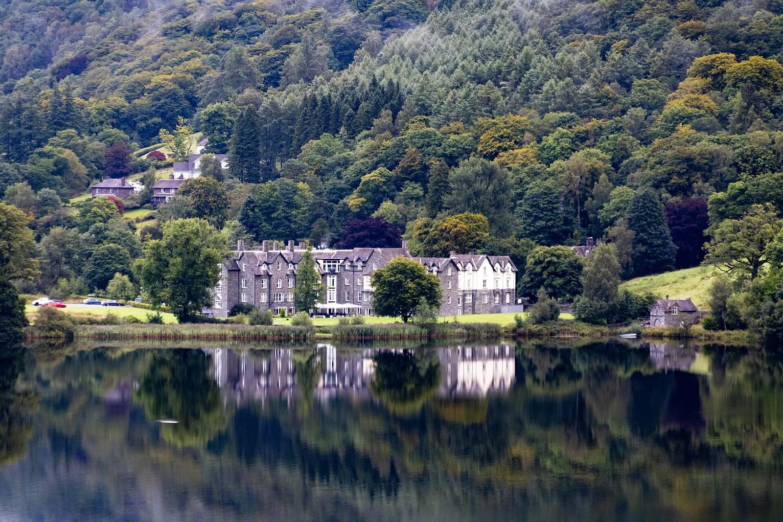
The Daffodil Hotel & Spa
Contemporary British, Grasmere, £££
A luxurious lakeside retreat offering panoramic views of Grasmere Lake. Features an award-winning spa and elegant dining rooms serving locally sourced cuisine.
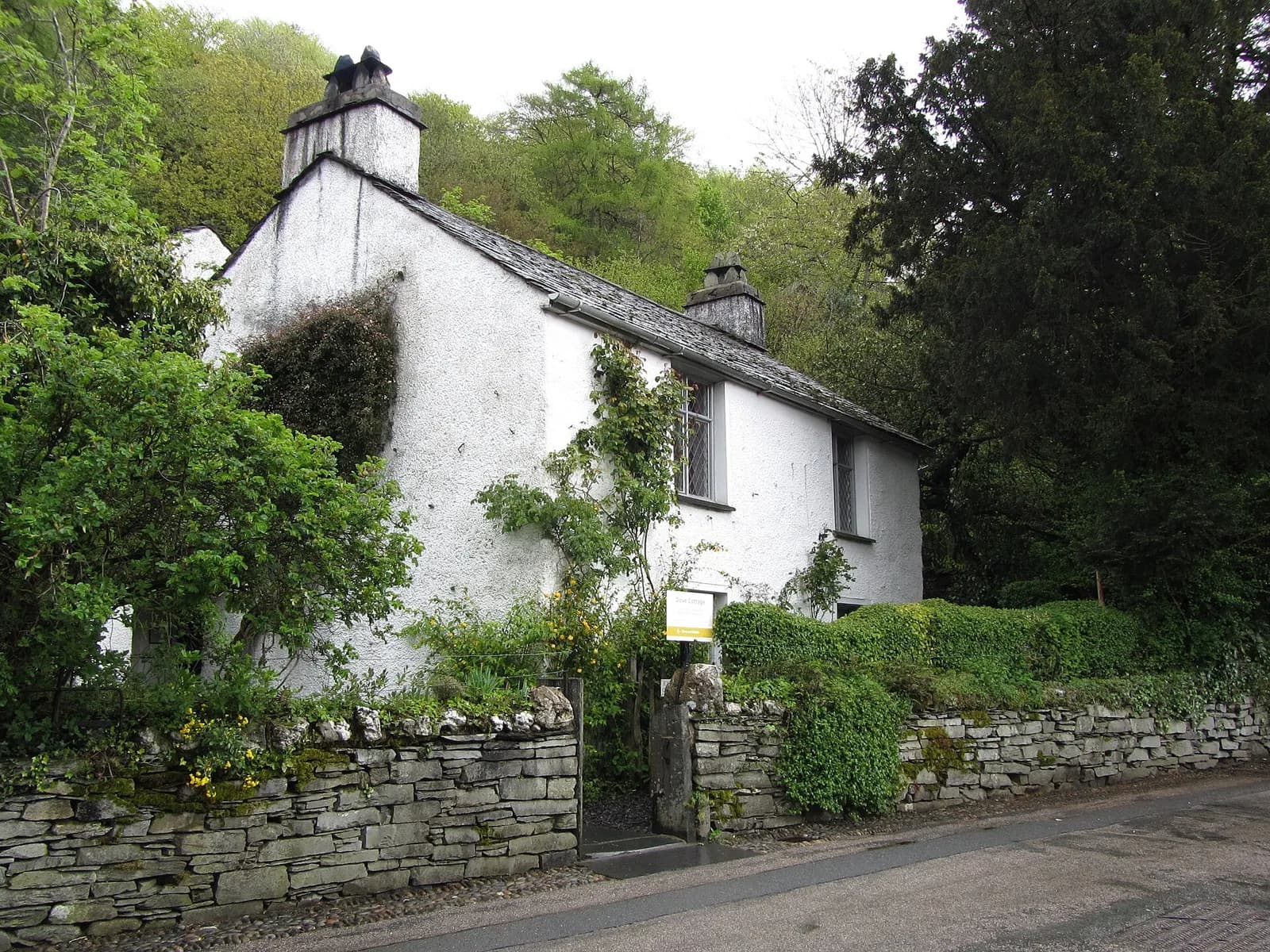
Wordsworth Grasmere
Heritage, Grasmere, ££
Dove Cottage and the museum tell the story of England's greatest Romantic poet in the landscape that inspired him.
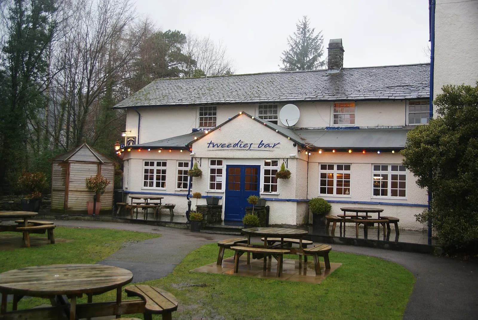
Tweedies Bar & Lodge
Modern British, Grasmere, ££, dogs welcome
A relaxed Grasmere bar and lodge with a big beer garden looking out to the fells, a strong line of craft beers and ales, hearty seasonal food and live bands at weekends.