Grisedale Pike and Hopegill Head from Braithwaite
Braithwaite's big fell: straight up the ridge to Grisedale Pike, along the rim of Hobcarton Crag to Hopegill Head, and back down Coledale past the old Force Crag Mine.
- Distance
- 12.5 km
- 7.8 miles
- Ascent
- 855 m
- High point 785 m
- Time
- 4 hours
- Walking time, no stops
- Grade
- Hard
- Circular
Take this walk with you
Google Maps does not know most fell paths, so use it to get to the start, then follow the GPX in an app like OS Maps, Komoot or AllTrails. To see the line in Google Maps, open Google My Maps, create a map, choose Import and pick the KML file. It then appears in the Google Maps app under Saved, Maps.
Weather on this walk
Loading the forecast
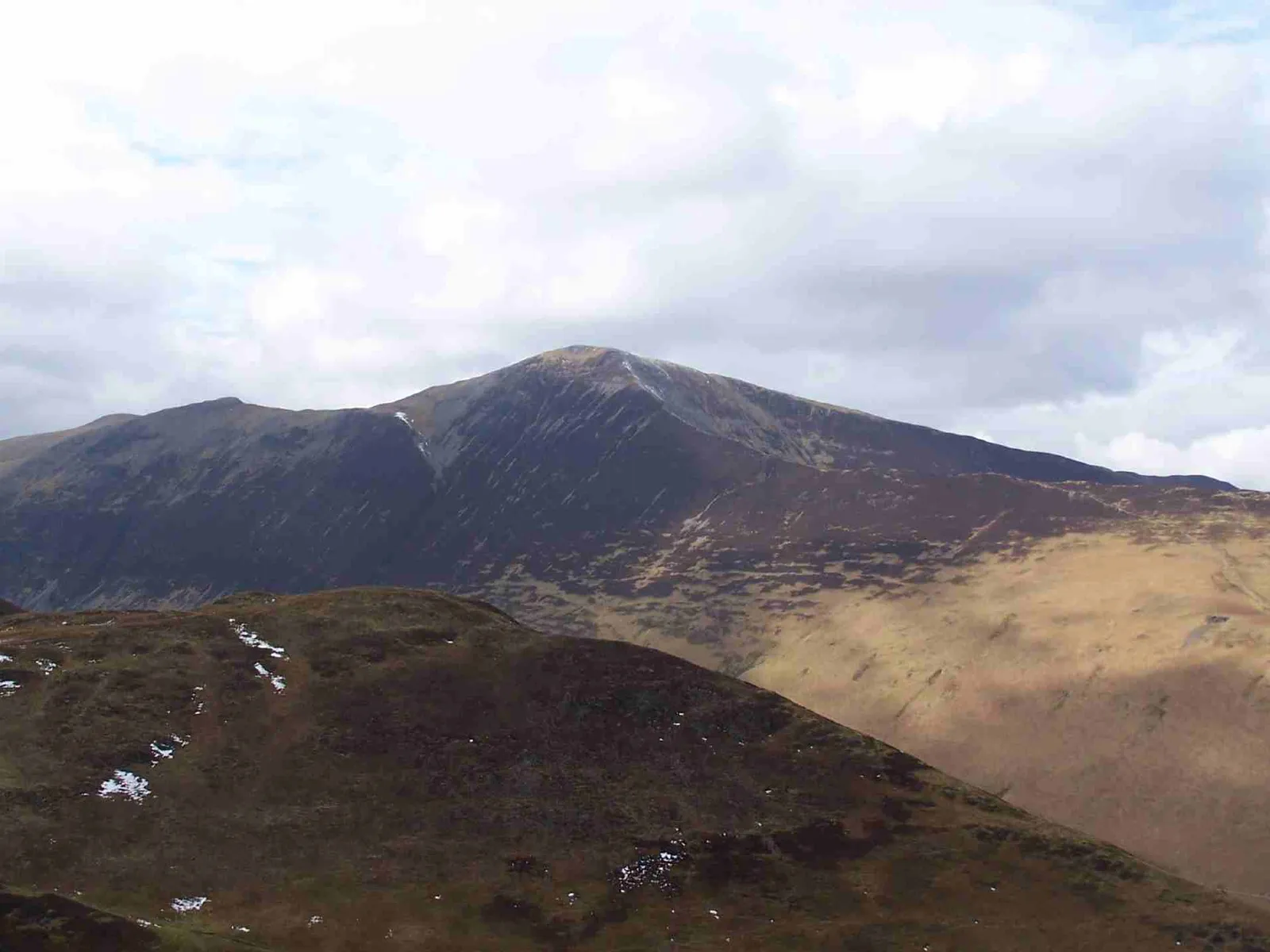
Grisedale Pike is the sharp peak that rises above Braithwaite, and the ridge straight up from the Whinlatter road is one of the most direct climbs in the north-western fells. There is no warm-up: steps lead up from the car park and the ground keeps rising all the way to the summit.
From the top the walk follows the rim of Hobcarton Crag to Hopegill Head, a small, pointed summit with a real sense of height. You then drop over Sand Hill to Coledale Hause and return down the long, quiet valley of Coledale, past the remains of Force Crag Mine, worked for lead and later barytes and zinc.
It is a fine, varied round for fit walkers, with big views over Keswick and, on a clear day, to the Scottish hills.
The route
- 1
Up from the Whinlatter road
From the small car park on the Whinlatter road just west of Braithwaite, climb the steps behind it. The path climbs steeply at first, then follows a broad ridge westwards over Kinn.
- 2
Sleet How to the summit
Beyond Kinn a steep grass bank leads to Sleet How, where the ridge narrows and gets loose and stony. A little easy scrambling is possible on the rocks, then the path tops out on Grisedale Pike.
- 3
Along to Hopegill Head
Follow the old fence posts south-west, then keep right along the rim of Hobcarton Crag to the pointed top of Hopegill Head.
- 4
Sand Hill and Coledale Hause
Come back a short way and bear right over Sand Hill, then descend to the broad pass of Coledale Hause.
- 5
Down Coledale
Turn east and follow the path down into the head of Coledale to reach the old Force Crag Mine buildings.
- 6
Back to Braithwaite
Follow the mine track along Coledale back towards Braithwaite and the car park.
Questions people ask
Where do you park for Grisedale Pike?
At the small car park on the Whinlatter road (B5292) just west of Braithwaite, at the foot of the ridge.
How long is the Grisedale Pike walk?
GPS Routes gives 11.5 km for this circuit with Hopegill Head, Sand Hill and Coledale.
How high is Grisedale Pike?
GPS Routes gives 791 metres for the summit.
What is Force Crag Mine?
An old mine at the head of Coledale, now owned by the National Trust, that was worked for lead and later for barytes and zinc for more than two centuries.
More walks nearby
Causey Pike and Scar Crags from Stoneycroft
Hard, 8.7 km, 678 m up, about 3 hours
Newlands' best short ridge: up the rocky steps of Rowling End to the knobbly top of Causey Pike, along to Scar Crags, and back past the old Stoneycroft mines.
Catbells from Gutherscale
Moderate, 7.1 km, 422 m up, about 2 hours
Keswick's favourite little fell: up the north ridge of Catbells to a rocky top over Derwentwater, down from Hause Gate and back along the terrace path.
Latrigg from Keswick
Moderate, 4.9 km, 292 m up, about 1 hour 30 minutes
Keswick's own small fell: up Spooney Green Lane and the zigzags to a grassy top with one of the finest views of Derwentwater in the Lakes.
Food, drink and beds near the start
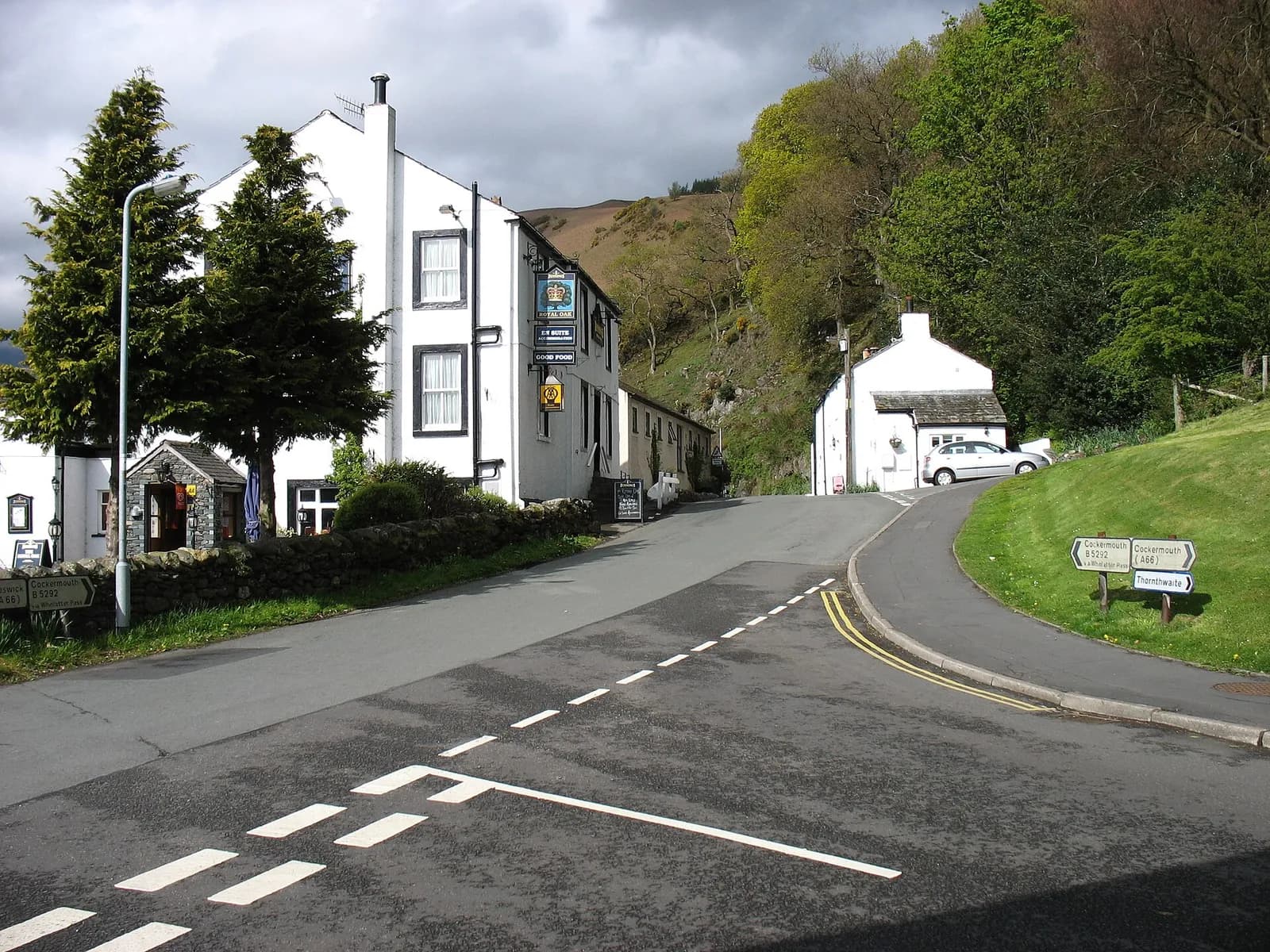
The Royal Oak
Traditional, Braithwaite, £
Braithwaite's heart and soul, with Coledale Horseshoe views from the garden and Jennings ales on tap.
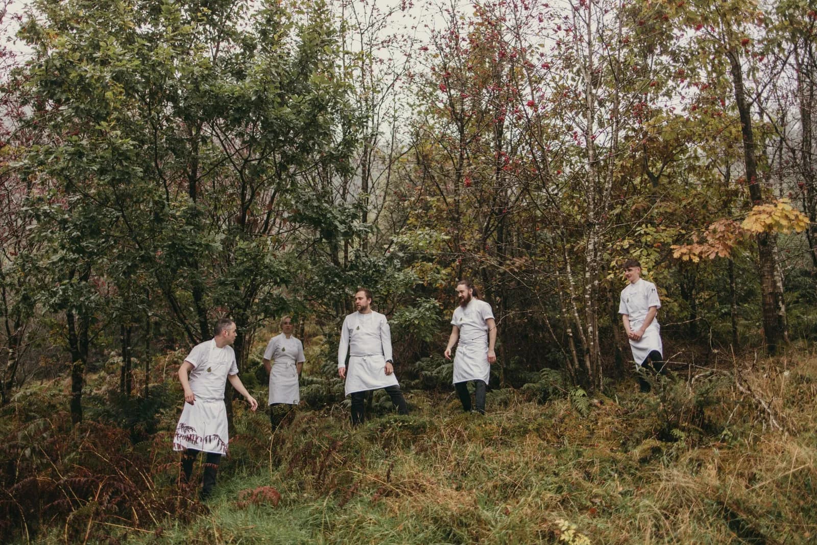
Cottage in the Wood
Fine Dining, Braithwaite, £££
Jack and Beth Bond's Michelin-starred restaurant with rooms sits high in Whinlatter Forest above Braithwaite, looking out towards Skiddaw. The tasting menu leans on regenerative Cumbrian farms and the nearby coast.
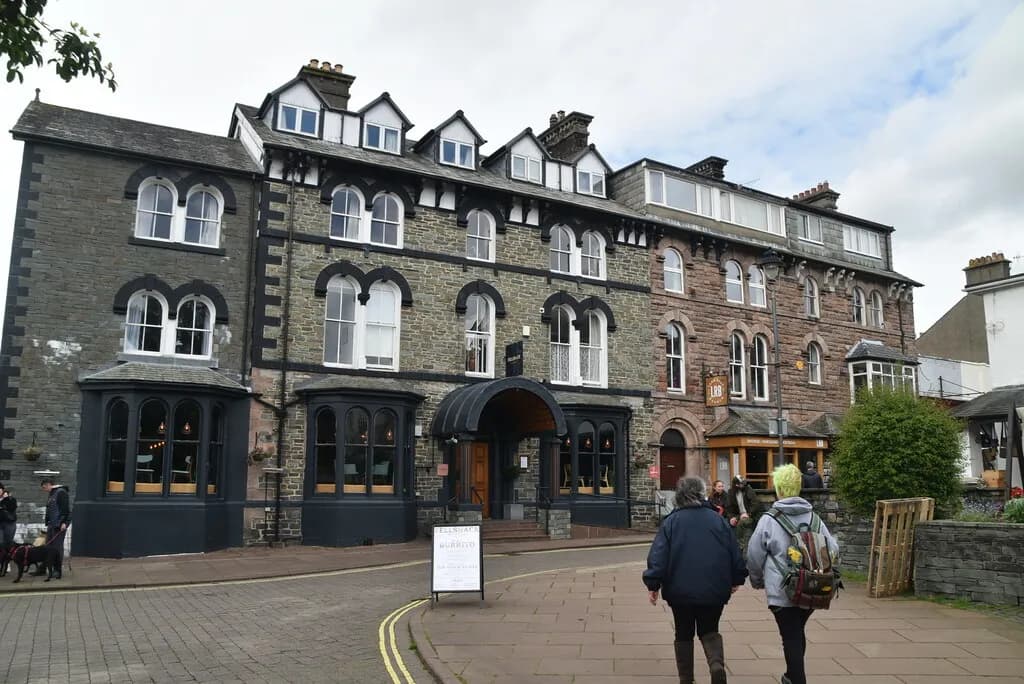
Fellpack
Casual Dining, Keswick, £
A laid-back Keswick restaurant built around Fellpots, generous bowls that put creative twists on classics. The short, seasonal menu might put a Japanese dish next to neeps and haggis.
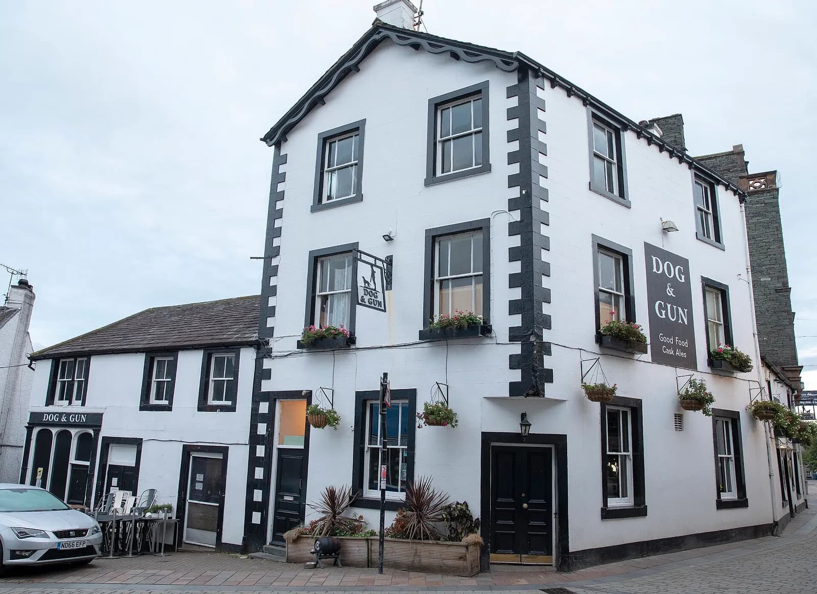
The Dog and Gun
Traditional, Keswick, £, dogs welcome
A proper Keswick town-centre local, run by Greene King, known for its homemade Hungarian goulash, well-kept ales and a warm welcome for dogs.
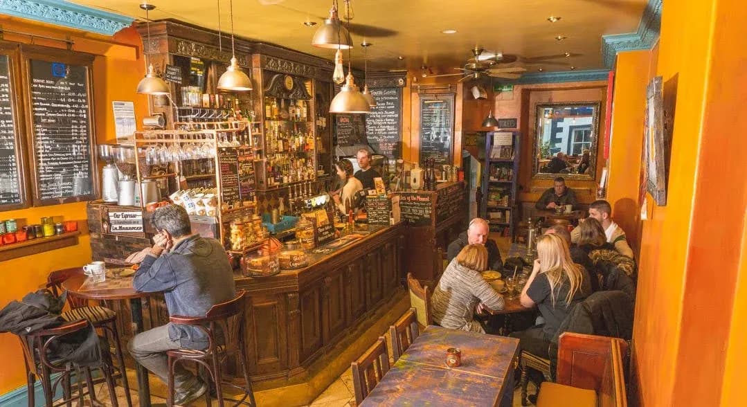
The Square Orange
Pizza & Bar, Keswick, £, dogs welcome
A cosy, buzzy cafe bar on St John's Street serving stone-baked Roman style pizzas, tapas and good coffee, with a full bar and regular live music evenings. No bookings, just walk in.
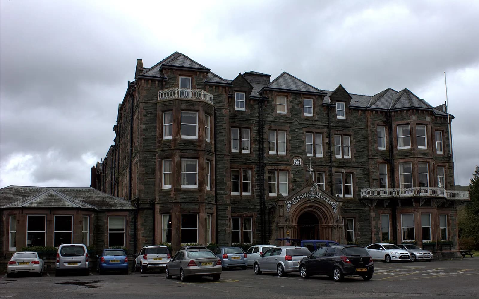
The Keswick Country House Hotel
Country House Hotel, Keswick, ££
A grand Victorian hotel set in four acres of tended gardens beside Keswick's old railway station, two minutes' walk from the market town centre. Expect classic dining in the Lonsdale Restaurant and views out to the surrounding fells.