Bowfell from the Old Dungeon Ghyll via The Band and Three Tarns
The classic Langdale round: up The Band to Three Tarns, a rocky climb to Bowfell's summit, then down by Ore Gap, Angle Tarn and Rossett Gill to Mickleden.
- Distance
- 13.1 km
- 8.1 miles
- Ascent
- 844 m
- High point 899 m
- Time
- 4 hours
- Walking time, no stops
- Grade
- Hard
- Circular
Take this walk with you
Google Maps does not know most fell paths, so use it to get to the start, then follow the GPX in an app like OS Maps, Komoot or AllTrails. To see the line in Google Maps, open Google My Maps, create a map, choose Import and pick the KML file. It then appears in the Google Maps app under Saved, Maps.
Weather on this walk
Loading the forecast
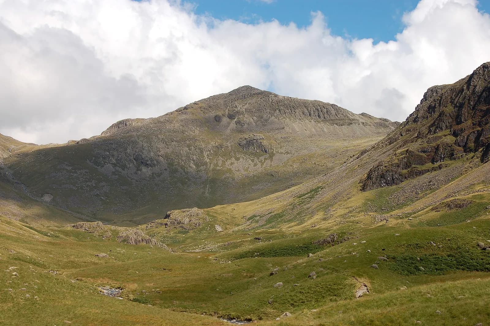
Bowfell is the shapely pyramid at the head of Great Langdale, and Wainwright counted it among his favourite half dozen fells. This is the standard circuit from the Old Dungeon Ghyll and it is a full mountain day, from the farm at Stool End to some of the roughest summit ground in the district.
The Band is a long, even ridge that does most of the climbing without drama. At Three Tarns the Scafells appear across the gulf of upper Eskdale, then the path picks its way up boulders to Bowfell's summit cone. The descent heads north to Ore Gap and down to the dark water of Angle Tarn before the steep, rocky path down Rossett Gill drops you into Mickleden.
The last couple of miles along the flat valley floor feel longer than they are, but the Langdale Pikes towering overhead make good company. It suits experienced hill walkers who are comfortable on rocky ground.
The route
- 1
Old Dungeon Ghyll to Stool End
From the car park follow the lane west to Stool End Farm at the foot of The Band, the long ridge rising ahead between Oxendale and Mickleden.
- 2
Up The Band
Go through the farmyard and climb the track up The Band. Crinkle Crags fill the view to the left and the Langdale Pikes rise across Mickleden to the right. Higher up the path bears right, then swings left to reach the col at Three Tarns.
- 3
Three Tarns to Bowfell
From the tarns, with the Scafells ahead, turn north and climb the steep, rocky path up Bowfell's south slope. The summit is a pile of boulders with a cairn on top.
- 4
Down to Ore Gap
Leave the summit north and then north-west, picking a way over rocky ground down to Ore Gap, the col between Bowfell and Esk Pike.
- 5
Angle Tarn and Rossett Gill
Turn right at Ore Gap and descend the grassy slope towards Angle Tarn, joining the main path near its outflow. Cross the beck, climb briefly to the top of Rossett Gill, then follow the steep, rocky path down towards Mickleden.
- 6
Back along Mickleden
At the foot of the gill follow the flat track east along Mickleden, under the crags of the Langdale Pikes, all the way back to the Old Dungeon Ghyll.
Questions people ask
What is the best route up Bowfell?
The Band from Stool End to Three Tarns is the most popular and the most straightforward way up from Great Langdale.
How long is the Bowfell circular from the Old Dungeon Ghyll?
Walking Britain gives 11.4 km for this round via The Band, Ore Gap, Angle Tarn and Rossett Gill.
Where do you park for Bowfell?
The National Trust car park at the Old Dungeon Ghyll, at the head of Great Langdale.
Is Bowfell harder than Scafell Pike?
It is a shorter day than Scafell Pike from Langdale, but the summit is just as rocky and the navigation off the top in mist is no easier.
More walks nearby
Stickle Tarn from the New Dungeon Ghyll
Moderate, 3.2 km, 379 m up, about 1 hour 30 minutes
The best short climb in Great Langdale: up the tumbling Stickle Ghyll from the New Dungeon Ghyll to Stickle Tarn under the cliffs of Pavey Ark.
Lingmoor Fell and Side Pike from Elterwater
Moderate, 11.6 km, 536 m up, about 3 hours
A small fell with a huge view: from Elterwater through old slate quarries to Lingmoor's ridge, over Side Pike above Blea Tarn, and back along Great Langdale.
Elterwater to Skelwith Force
Easy, 5.4 km, 36 m up, about 1 hour
A level riverside walk from Elterwater village, past the lake and through meadows to the falls at Skelwith Force. No stiles.
Food, drink and beds near the start
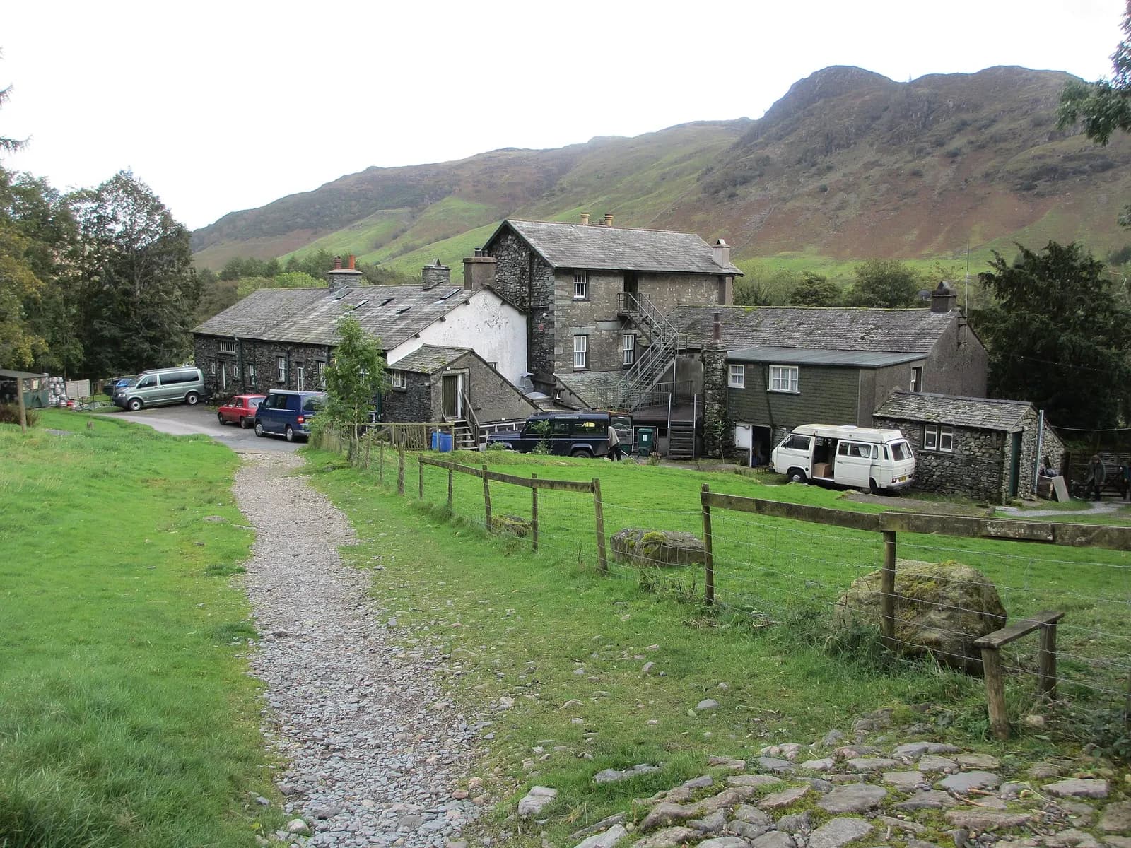
Old Dungeon Ghyll
Traditional British, Langdale, ££, dogs welcome
The original Dale Head Inn at the top of Great Langdale, where the famous Climbers Bar has fed walkers and climbers for generations. Expect home-cooked pies, soups and daily specials, with the Langdale Pikes right outside the door.
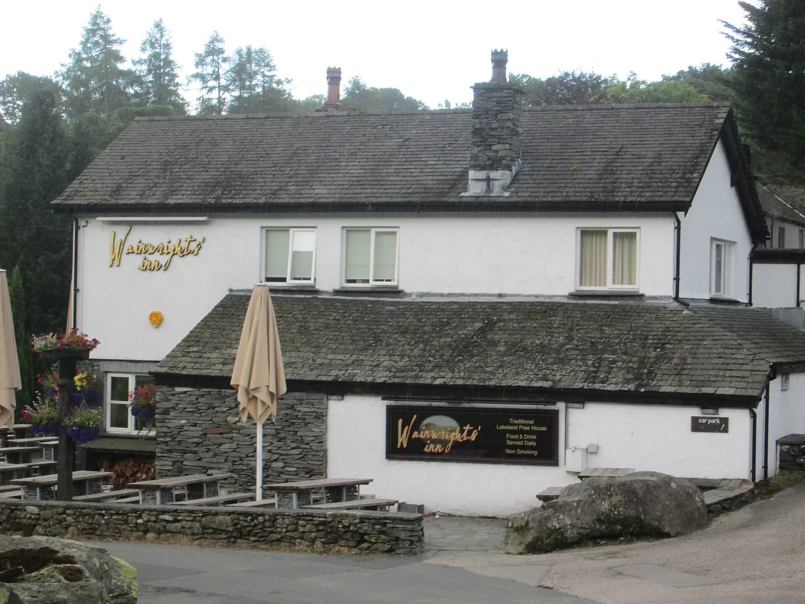
The Wainwright Inn
Traditional, Chapel Stile, ££
A Langdale valley stalwart named after the great man himself - solid ales, hearty food and a walkers welcome.
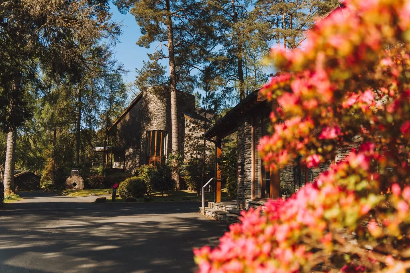
Brimstone Hotel
Luxury Lodge, Langdale, ££££
A collection of luxury suites and lodges in the Langdale Valley with a stunning spa, fire pit, and slate-clad architecture that feels both modern and rooted in the Cumbrian landscape.
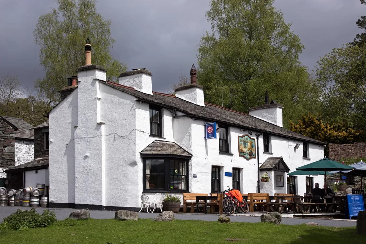
The Britannia Inn
Traditional, Elterwater, ££, dogs welcome
Elterwater's village green pub is a Langdale classic - real ales on the terrace with the Pikes as your backdrop.
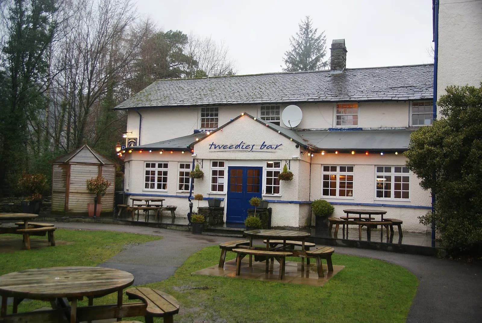
Tweedies Bar & Lodge
Modern British, Grasmere, ££, dogs welcome
A relaxed Grasmere bar and lodge with a big beer garden looking out to the fells, a strong line of craft beers and ales, hearty seasonal food and live bands at weekends.
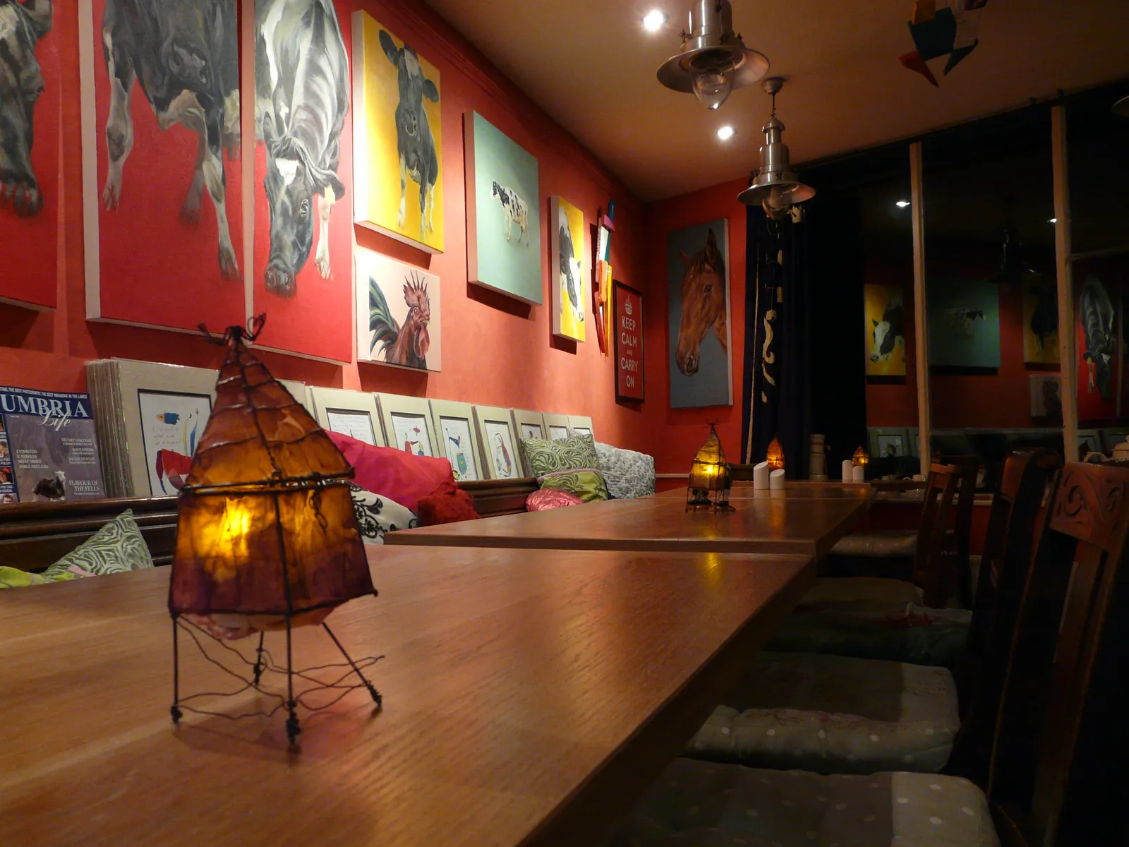
The Jumble Room
Eclectic, Grasmere, ££
A gloriously eclectic Grasmere institution where world flavours collide on a menu that refuses to be pigeonholed.