North Pennines
High moorland on Cumbria's eastern edge: Alston, Hartside Pass, Cross Fell and some of the wildest country in England.
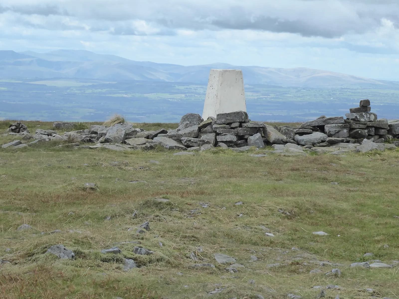
The North Pennines form Cumbria's eastern wall, a high plateau of moor and blanket bog that the county shares with Northumberland and County Durham. It is a National Landscape and a UNESCO Global Geopark. On this site the Cumbrian side covers Alston, the high pass at Hartside on the A686, the old lead mining villages around Nenthead, and the great scarp above the Eden Valley topped by Cross Fell, the highest point in the Pennines.
Alston is the hub: a small stone town on a steep cobbled street, sharing the title of highest market town in England. The South Tynedale Railway runs from here along the old branch line, and the Pennine Way passes through. The scarp is home to the Helm Wind, the only named wind in Britain, which roars down off Cross Fell.
Come for solitude, big skies, birds such as black grouse and curlew in spring, and drives and cycle climbs that rival anywhere in England. Late spring and early summer are kindest. Nenthead, a few miles from Alston, is one of the highest villages in England and still has extensive mine remains, and the drovers' roads and old miners' tracks make fine walking routes over the tops.
The weather is serious. Hartside and the roads over to Nenthead and Weardale can close with snow in winter, the tops are very exposed, and services are few and far between. Fill up with fuel before you come over the top.
Walks in North Pennines
All walks in North PenninesHigh Cup Nick from Dufton
Hard, 18.4 km, 586 m up, about 4 hours 30 minutes
The great U-shaped chasm of the North Pennines, reached over wild moorland from Dufton and followed home along its rim on the Pennine Way.
South Tyne Trail: Alston to Slaggyford
Easy, 7.3 km, 14 m up, about 1 hour 30 minutes
A gentle, well-surfaced walk down the South Tyne valley from Alston, beside the narrow-gauge railway you can ride back.
Towns, villages and lakes in North Pennines
- Alston
A steep, cobbled Pennine town about 300 metres up, sharing the title of England's highest market town, with the South Tynedale Railway.