Black Combe from Whicham church
The great sea-facing fell at the south-west corner of the Lake District, climbed on a clear bridleway from Whicham's church.
- Distance
- 7.1 km
- 4.4 miles
- Ascent
- 559 m
- High point 600 m
- Time
- 2 hours 30 minutes
- Walking time, no stops
- Grade
- Hard
- There and back
Take this walk with you
Google Maps does not know most fell paths, so use it to get to the start, then follow the GPX in an app like OS Maps, Komoot or AllTrails. To see the line in Google Maps, open Google My Maps, create a map, choose Import and pick the KML file. It then appears in the Google Maps app under Saved, Maps.
Weather on this walk
Loading the forecast
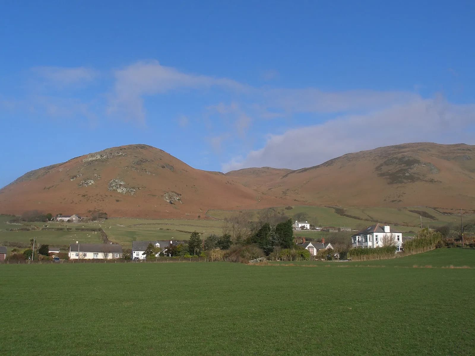
Black Combe stands on its own at the south-western tip of the Lake District, rising almost straight out of the coastal plain. With the sea on one side and the fells on the other, its summit is a superb place to stand on a clear day.
The usual way up starts at the little church at Whicham and follows a broad bridleway that climbs steadily up the south-western flank above Moor Gill. It is a long, honest pull rather than a scramble, and the path is clear for most of the way to the large shelter cairn and trig point on the top.
This route goes up and down the same way, which avoids the walk along the busy A595 that most circular versions need. It suits fit walkers who want a big view for a short day.
The route
- 1
Whicham church
From the car park by the church, take the short path between the church and the old school, then turn left on the lane towards Kirkbank.
- 2
Onto the bridleway
Where the lane becomes a track, take the bridleway that forks right at the sign and begin the climb.
- 3
Up the flank
Follow the bridleway steadily uphill above Moor Gill for nearly three kilometres. The gradient eases as you reach the broad top.
- 4
Black Combe summit
Continue to the large shelter cairn with the trig point inside, the summit of Black Combe.
- 5
Return
Retrace your steps down the bridleway to Whicham church.
Questions people ask
Where do you park for Black Combe?
There is a car park by St Mary's Church at Whicham, just off the A595 near Silecroft. It has an honesty box and fills when the church is in use, especially on Sundays.
How high is Black Combe?
OpenStreetMap records the summit at about 600 metres.
How long does it take to climb Black Combe?
Allow around two and a half to three hours up and down by the bridleway from Whicham. Circular routes are longer, at about 13 km.
Is Black Combe in the Lake District?
Yes. It is in the south-west corner of the Lake District National Park.