Derwentwater
Keswick's lake: wooded islands, the Keswick Launch, Friar's Crag and Catbells above the western shore, at the mouth of Borrowdale.
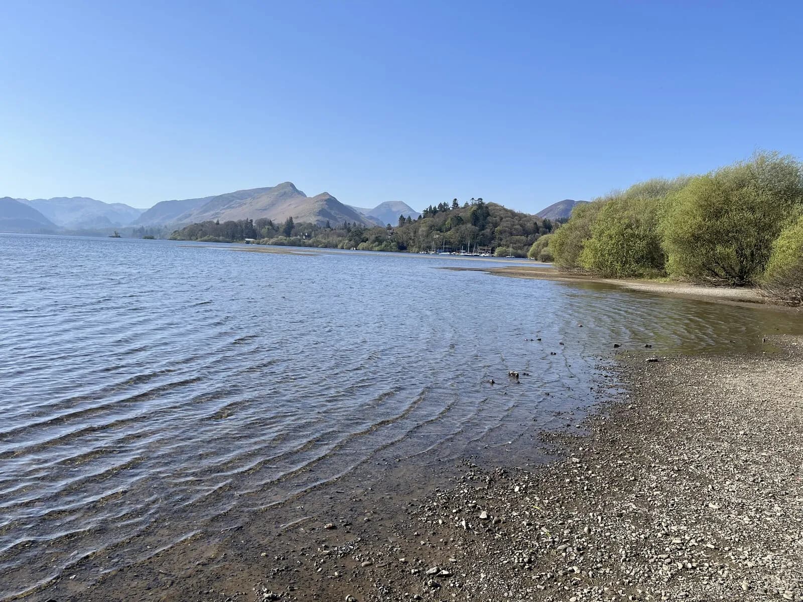
Derwentwater lies at the southern edge of Keswick, a broad, island studded lake about 4.6 kilometres long, enclosed by wooded fells. To the south it narrows into the mouth of Borrowdale, to the west rises the long ridge of Catbells, and from the northern shore the view over the water to the fells is one of the most famous in England.
The Keswick Launch runs round the lake from the landing stages near the town, calling at jetties including Ashness Gate, Lodore, High Brandelhow, Hawse End and Nichol End, so you can sail out and walk back, or the other way round. The islands include Derwent Isle, with its house, and St Herbert's Island, where a hermit is said to have lived in the seventh century. The shore paths are mostly owned by the National Trust and easy to walk.
A full circuit of the lake on paths and quiet lanes is about ten miles and makes a wonderful day. Shorter walks lead to Friar's Crag, a promontory a few minutes from town, and to Castlehead, a small wooded hill with a fine view. Catbells, reached by launch to Hawse End, is the most popular family fell in the Lakes. Lodore Falls are near the southern end, and Ashness Bridge and Surprise View are just above the eastern shore.
The lakeshore car parks and the road to Catbells fill quickly in summer, and the lake can be choppy in wind. In return you get a lake you can explore entirely by boat and on foot from a town centre.